A final note on story of place

This project really allowed the class to get creative and to think outside of the box that we are often placed in. This project allowed our site to begin to tell the story as its seasonal appearance literally changed before our eyes. With a little bit of research on our end, the site history seemed to tell the rest. We were just there to put the storyline together, fill the missing link and to capture the site on camera.

This project also taught me a lot more than just the Bushkill Creek and about our site. This project really made me think about stopping to look at and think about your surroundings. I was one of those cars that just drove by these sites and never thought about the story behind each of them. Speaking to my site specifically, I always drove by thinking that it was just a sketchy place composed of abandoned buildings. Had this project not forced me to stop and think, I never would have thought about the beauty in the Bushkill across the street or about the existence of an industry as successful as the Rinek Rope Company.

I think that I can use this lesson from our story of place project as a guiding mantra in my everyday life. My train of thought often gets absorbed by the hustle and bustle of everyday life that it takes my attention away from my surroundings. When this happens I miss out on the parts of life that make it interesting and I lose my grounding. The story of place project taught me much more than about a spot on the Bushkill but, rather that every place on this Earth has a story and people that were a part of it– I just have to get out of my thoughts enough to notice them.

Story of Place Progress Log

Site 5: Simon Silk Mill. Alexa Gatti and Nicole Maksymiw

Our most recent visit to our site was around 6:30-7:00 PM, so we were able to experience the site at a different time with a new perspective. Since this was around dusk, the sky grew progressively darker throughout the visit. We began with plenty of light to see well, but by the end of the visit, it was more difficult to maneuver from the creek bed area back up to the parking lot. This different perspective adds yet another layer to the many that we have been exploring at this site. The only light to illuminate the area at all was artificial light on a building by the road above.

log 3 image1

This visit was a few days after a lot of rain, so the water was flowing a bit higher and much faster than during previous visits. There were more riffles in the water with the faster movement, too. The water level was definitely even higher in recent days, as evidenced by the appearance of the rocky outcropping from which we have explored. This area is full of puddles and leaves, which would have been transported during a time of higher flow.

log image 2

The site is currently evolving to develop a new layer. Evidence of renovation efforts is present with the ongoing construction on the old silk mill. A brand new sign stands out by the driveway to the silk mill, which was not there during any previous visit. This sign was brightly illuminated, so it caught my attention when we first drove past. As we left the site, we pulled over to admire and take a closer look. The lights and newly developed section contrasts the older part of the silk mill. In an image with the sign and the ongoing refurbishments, a window with a broken or missing window is visible.

log image 4log image 3

This week we also began to dig into the history of the Simon Silk. Development along the Bushkill began in the late 1700s. By the end of the 20th century, the R&H Simon Silk Company was the largest producer of black silk ribbon in the world. The Easton mill employed 2,000 workers (www.eastonpartnership.org). The Silk Mill opened in 1883 as the first economic development project in Easton and closed in the late 1960s. The Easton Redevelopment Authority obtained the property in 2006 and VM Development was selected to lead the construction project.

The city of Easton is redeveloping the Simon Silk Mill complex “based in the ideals of adaptive reuse and sustainable development” (www.eastonpartnership.org). The Simon Silk space is being converted into “149 apartments, 50,000 square feet of warehouse space, and 100,000 square feet of mixed use development” (Miller). We are eager to find out what this “mixed use development” will entail. According to VM’s website Silk will be a collaborative space for artists. The City is also working with the Delaware and Lehigh National Heritage Corridor “to design and construct a recreational and heritage trail” to connect downtown Easton to the Simon Silk complex (www.eastonpartnership.org). The current Civil Engineering Capstone class at Lafayette is working to design this connective trail.

To uncover more information about history of the Arts Trail and future development of Simon Silk and this area of the creek, we plan to interview the members of the CE Capstone course and officials of the Delaware and Lehigh National Heritage Corridor.  Professor Brandes provided the names of Dick McAteer (board member of the Greater Easton Development Partnership) and Paul Dearing (key player in the connective trail project)  as contacts. Jim Toia (Lafayette’s director of community-based teaching) has been a major contributor to the Karl Stirner Arts Trail. We hope to interview these individuals along with everyday users of this section of the trail.

Rudy Miller provided photos of the Silk Mill area/development project on Lehigh Valley Live: http://photos.lehighvalleylive.com/express-times/2015/08/the_easton_intermodal_transpor_15.html

http://vmdevelopmentgroup.com/?page_id=159

Confluence Story of Place #5 – Bethany, Erik and Tessa

DSC_0122

Another look at the slowly changing colors of Autumn.

DSC_0123

Looking at this side of the bank instead of across into New Jersey as in the previous picture, the colors of the leaves seem to indicate two entirely different seasons.

DSC_0117

Compared to our last visit here, we noticed that the water level had receded significantly. In the pictures, you can tell where the water had risen to from the storms in the previous weeks by the color of the rocks – where the rocks are darker, they had been more recently covered by water. It’s amazing to be able to notice the changes in water and to think about the sheer volume of water that passes through the confluence daily.


DSC_0115

The geese that we had noticed on our last visit were still seen between the island and Pennsylvania. It would be interesting to know whether this was the same flock that had stayed here for over a week, or if it was a new flock that had stopped in the same place. Either way, this indicates that there is probably some abundant source of food that is able to maintain the number of geese in this area.

DSC_0111

Once again, we did not run into the homeless person who inhabits this area. It looked pretty similar to our last visit, although when we approached for a closer look, we did notice that the creepy zombie face targets no longer had paint on them, which we took as someone had been there to at least refresh the targets. We still hope to have a conversation with this inhabitant at some point in the near.

Story of Place Update

Jackie, Jeremy & Lori : Bushkill Park

This past weekend, the three of us ‘tracked’ the effects of the predicted hurricane (that passed us) would have on the creek. We went out Friday and Sunday. The water levels were definitely higher than previous trips to the site, and the water was a bit higher Sunday than Friday.

Friday, there were no ducks or geese on our side of the creek; Sunday, they were everywhere! Jackie and I even took a trip to the other side of the bridge to visit the feeding site. We made friends with the ducks and some locals.IMG_2999 Friday and Sunday we also borrowed one of the recorders from the FAMS Department to capture the sounds of our site. The nice day one is actually quite peaceful to listen too!

I have been uploading our pictures and videos here: https://www.flickr.com/photos/lori_lombardo/albums/72157659120529626

We have also been making efforts to learn more about the history of the Bushkill Park as well. Professor Brandis mentioned that Rachel Hogan Carr (who happens to be my professor this semester for Organizations and the Environment) the current director of Easton’s Nurture Nature Center, might have a connection to the park. He had thought her dad may have owned it at one point! And its true! Her father (a lawyer) bought the place with a clown who had worked there! When I spoke with her after class she was very excited to hear about the project and is eager to help our group! She gave me a super quick history on why her father decided to buy the park:

He had to sell and break up his parents farm when they passed away (because he was the lawyer in the family). He never stopped feeling guilty about this. They spent much of their childhood with their father looking for a farm to buy to replace the one he had to give up. When the Bushkill park closed, he decided to save the park like he couldn’t save his family’s farm. She had no idea how he was able to afford it, they were so poor. But he did, with the clown.

Professor Carr worked at the park, she was about 12. Before the park closed, her father took her and a friend (or sibling?) to the park for the day. They had so much fun they didn’t want to leave when the park closed for the day. This is how she found out her dad had bought the park! He told them they could stay even after the park closed!

Because I had to run to my next class, she shared these two Facebook groups with me to look for more pictures and articles about the park: “You know you’re from Easton…” and “Frozen In Time. Lehigh Valley And Easton Pennsylvania”. At quick glance, there is a wealth of historical pictures and pictures that aren’t so old as well as articles about the park.

We will be setting up a time to meet with Professor Carr soon! She even sent me away with a task: To find the tour of the park her father gave to Discovery Channel in the early 90s – it’s priceless she says, “he’s so cute!”

Site No. 4 Update

This morning, I set out to the Bushkill Creek to try and get some footage of the running water, and the sounds of the birds calling to one another, but I was stopped short by my inability to access the water. The severity of the bank is high around the Creek, and my one access point that I have used in previous visits because it is not as severe, had practically become a mudslide due to the recent rain. I believe in the upcoming days I am going to borrow a pair of cleats, or something with better traction than my sneakers, and head down there, to see how the rain has impacted our site, the species living there, and the tenacity of the creek.

Emily, Julie and I have been in contact with local business owners who have long historical ties to the area, and we have gotten great feedback so far regarding how their businesses and others have left their footprint on our small patch on the Bushkill Creek. We also have made contacts with both the Lafayette and Easton librarians, and are going to go through some of the archives and pictures at both of the libraries later this week. We strongly feel that having both the perspective from the river today, as well as the businesses that grew alongside it, will help us greatly to understand the story of our site.

Hopefully by the end of this week we will have some cool footage of rain hitting the water running through the creek, or see some birds taking solace underneath trees, who knows what surprises the rain will grant us.

Site 5 Simon Silk – Log 2

By Alexa Gatti and Nicole Maksymiw

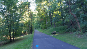
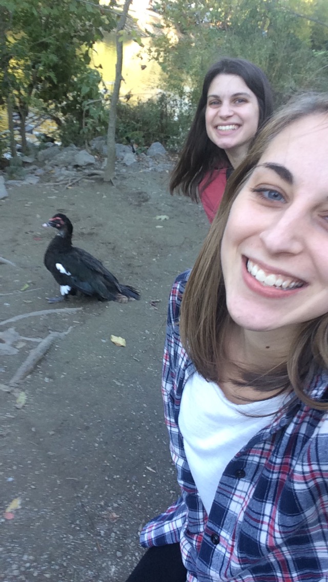
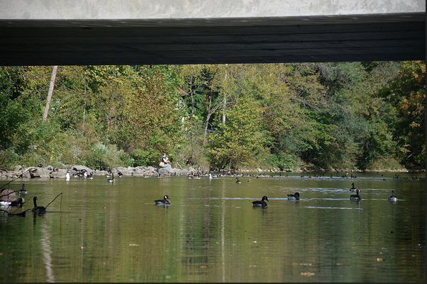
On Thursday morning, we met Professor Smith and Professor Brandes at the Arts Trail parking lot. It was 8:30 AM and there was already activity on the trail. A woman with a packet of papers was instructing two other individuals on some topic. Professor Brandes wondered if some citizen science was being conducted. We realized that interviews would be essential to find out more about the ways this site is used by the public: fishing, artistic expression, running, community events, etc.

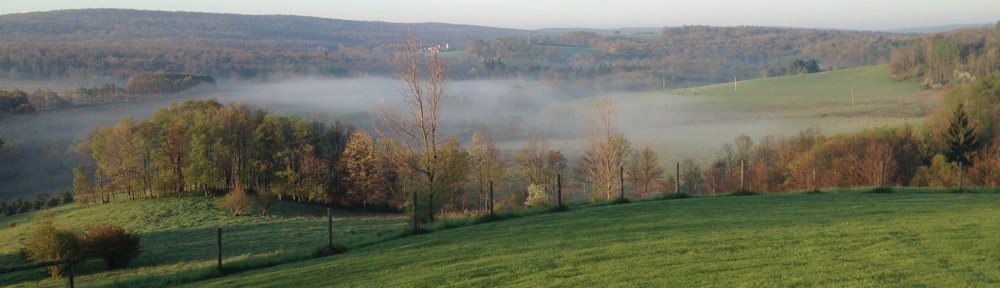
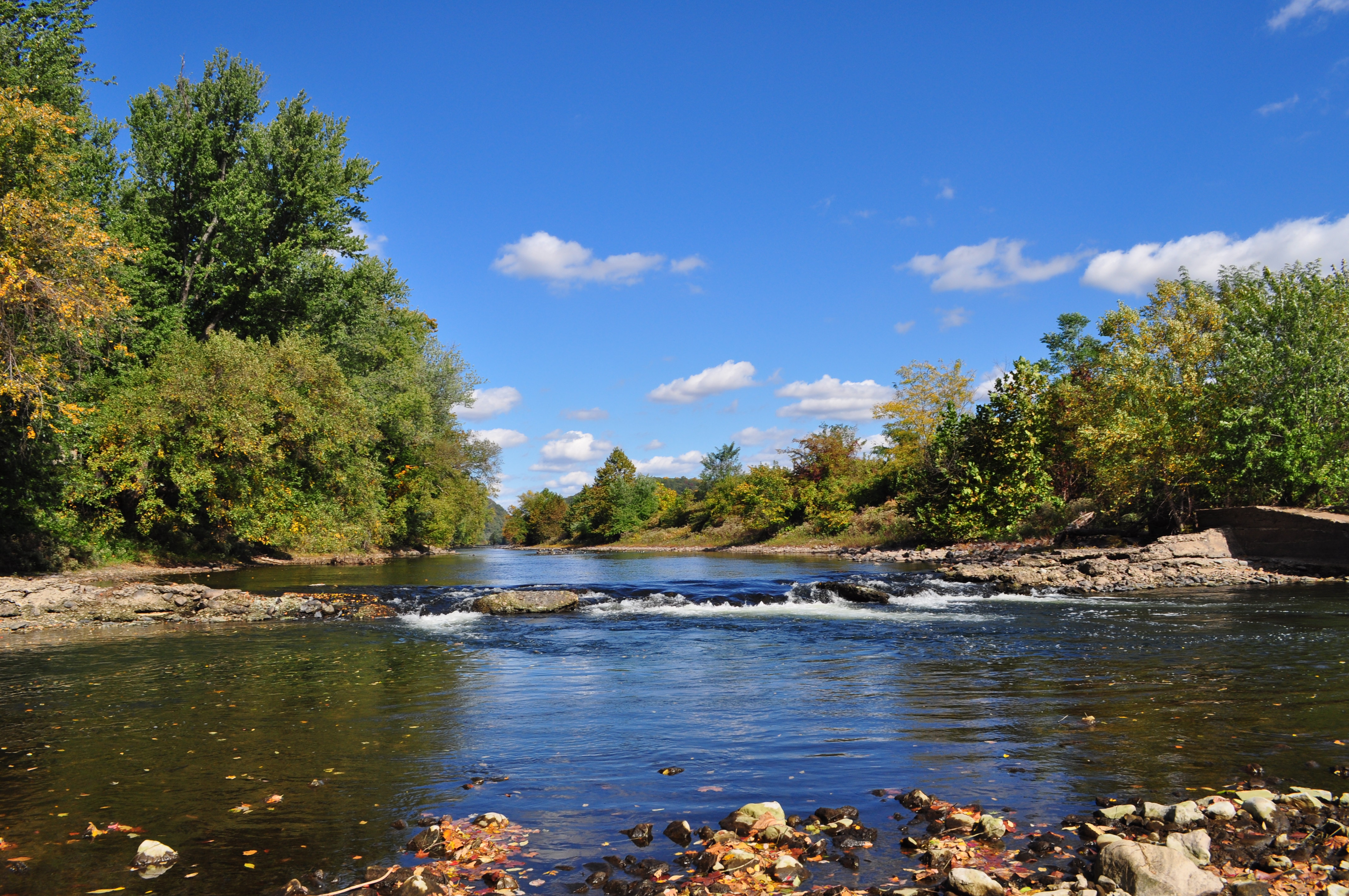
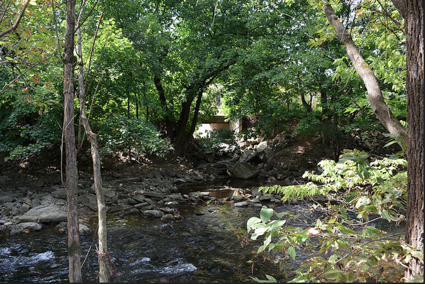
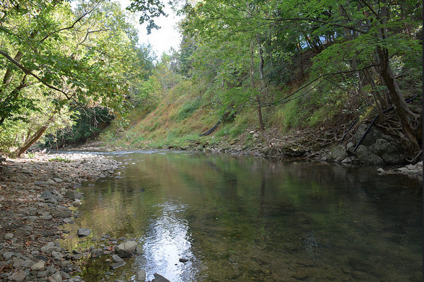
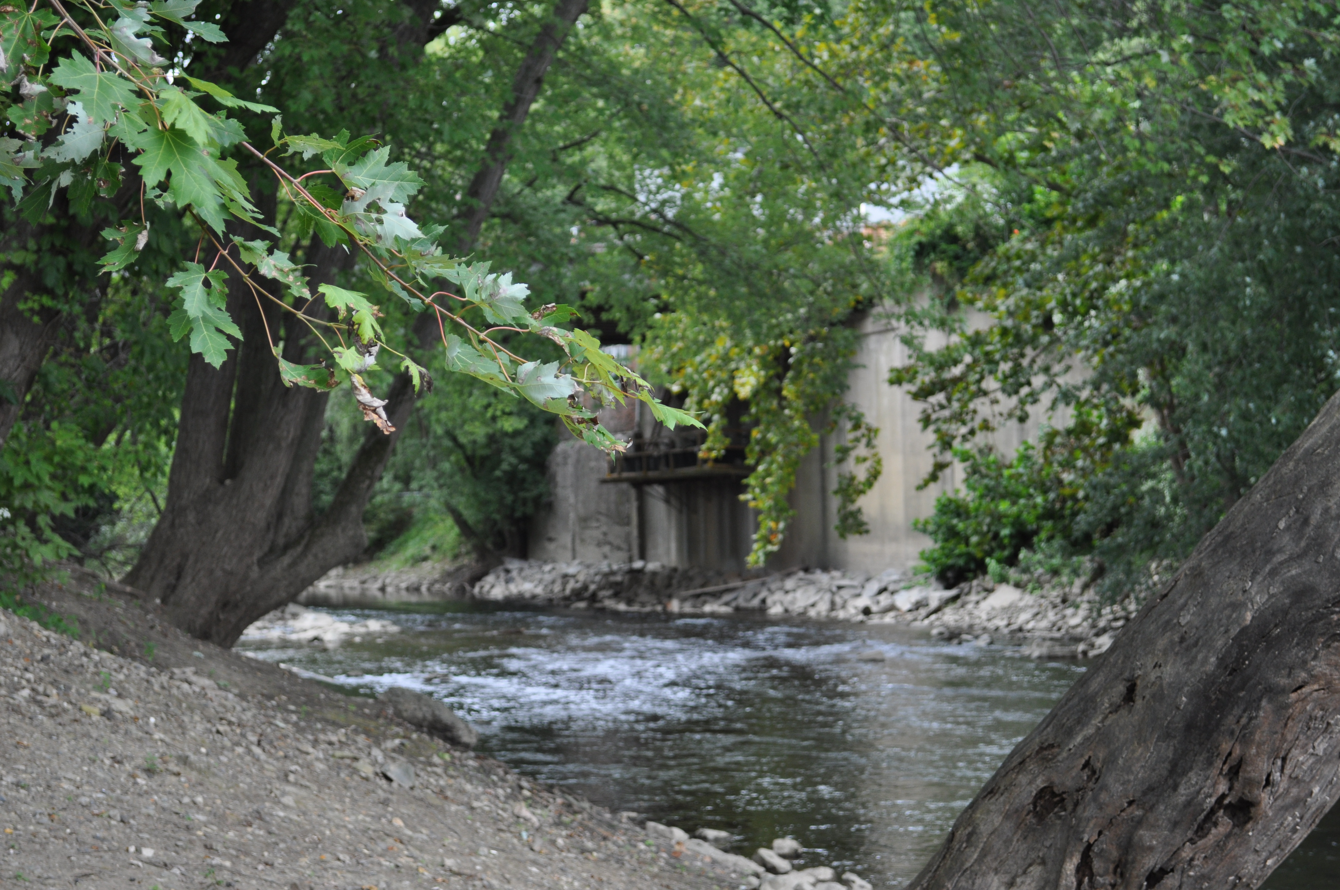
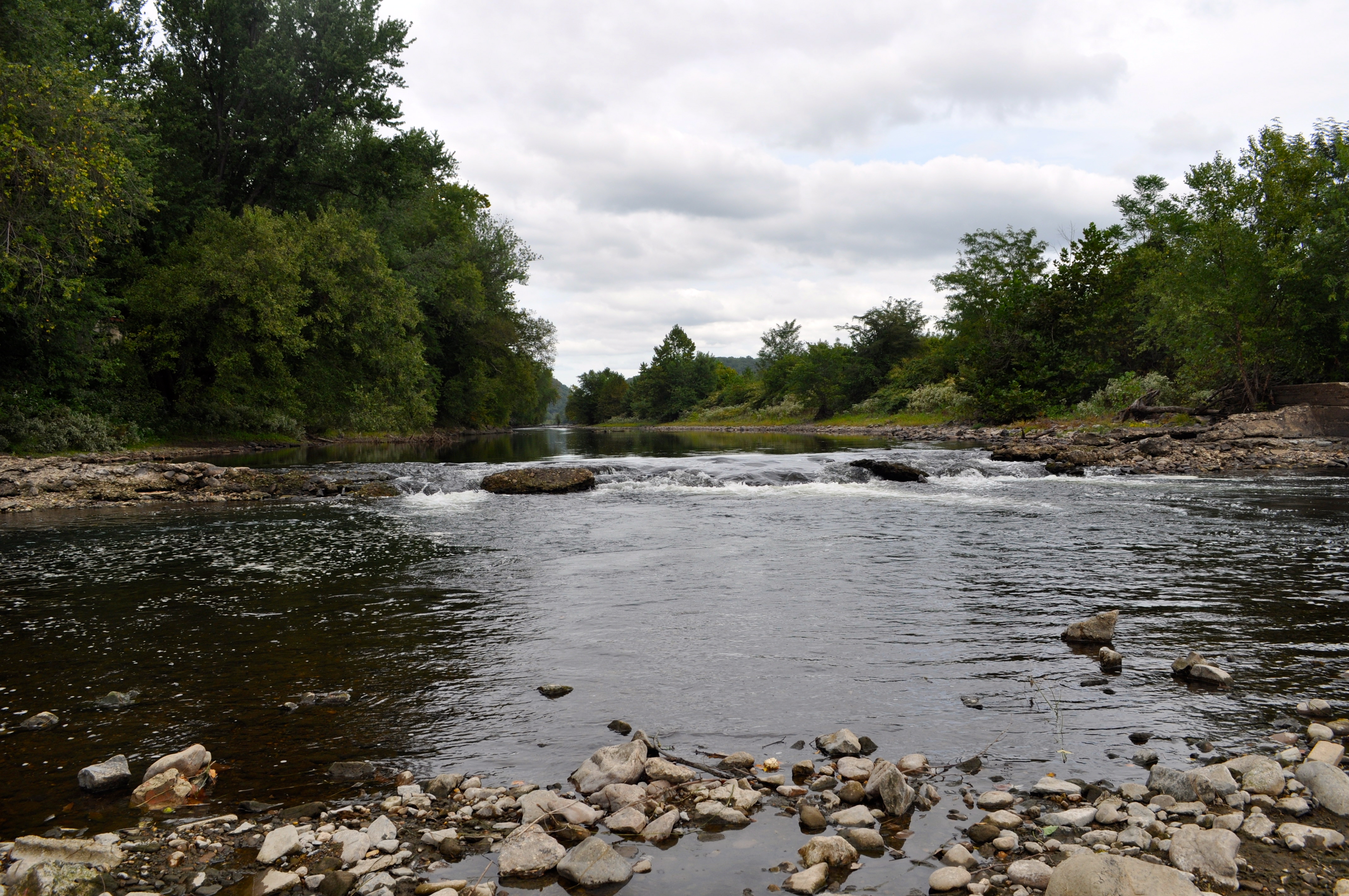
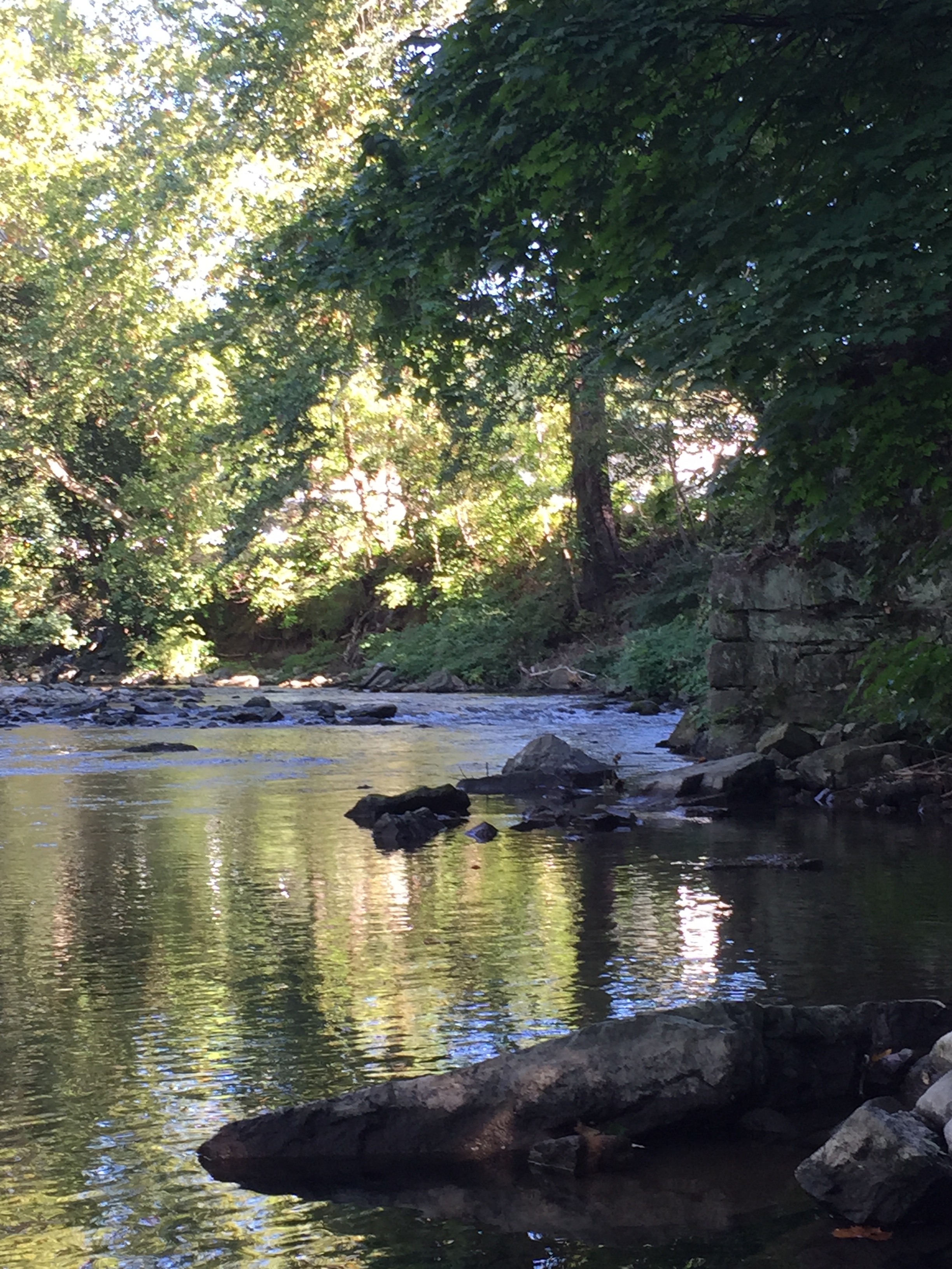
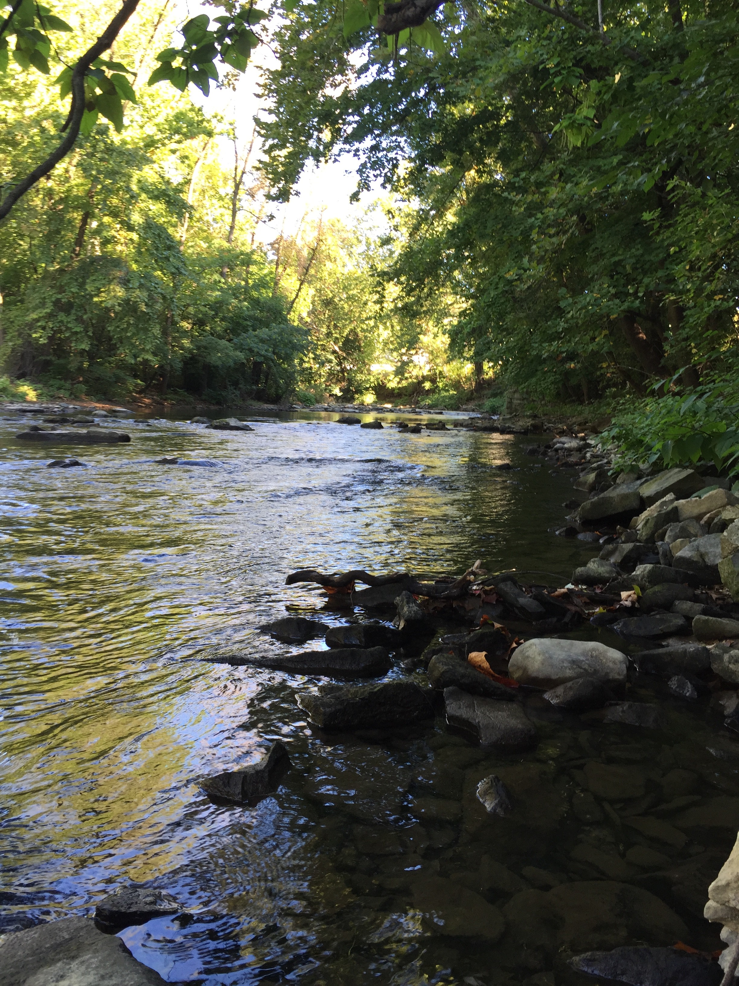
A this time of day we also noticed the differences in light and shadow formations and reflections on the water.

IMG_5644 Screen Shot 2015-09-28 at 8.36.16 PM

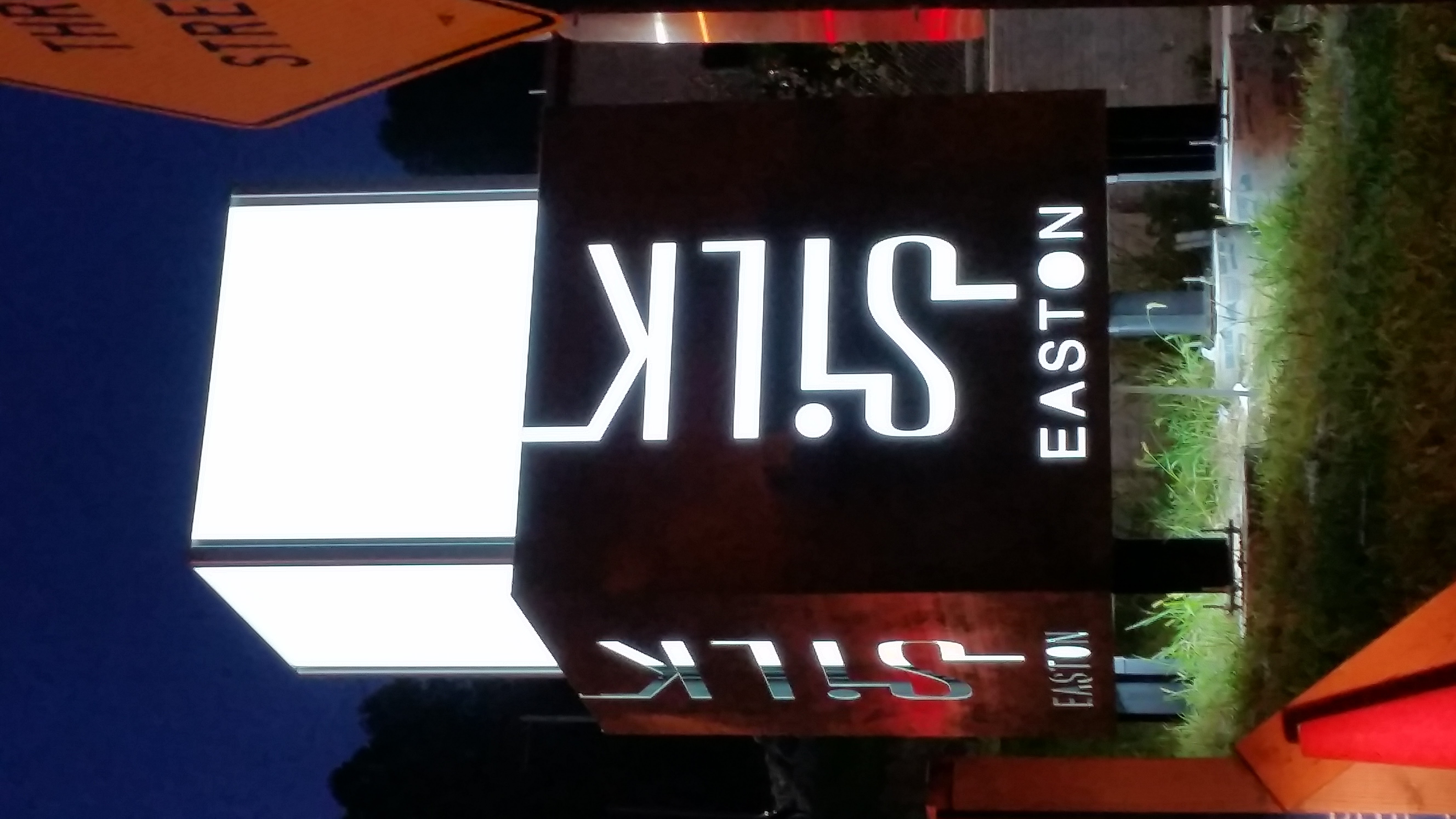
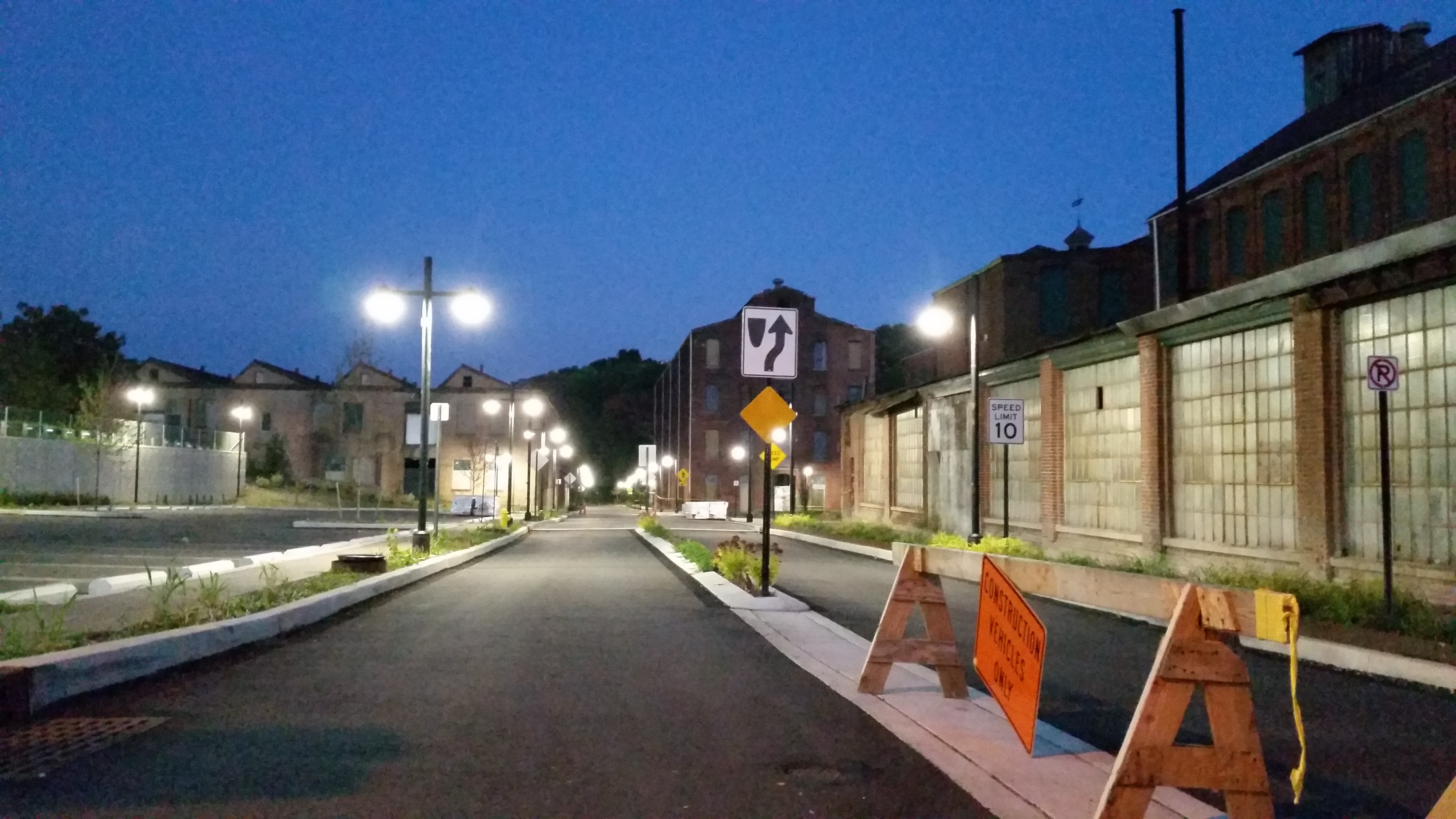
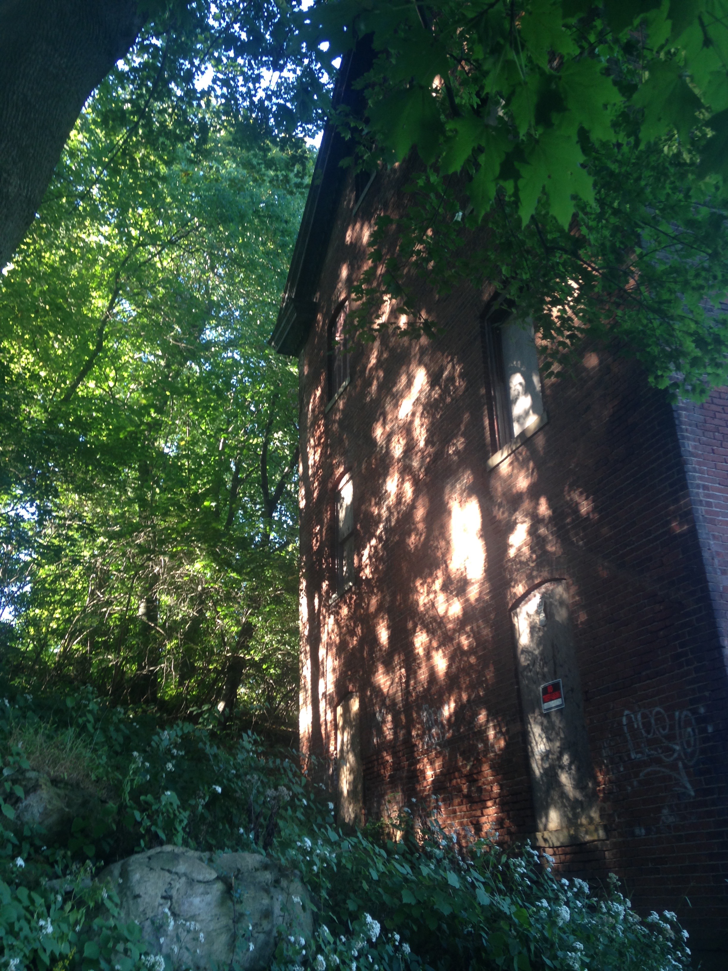
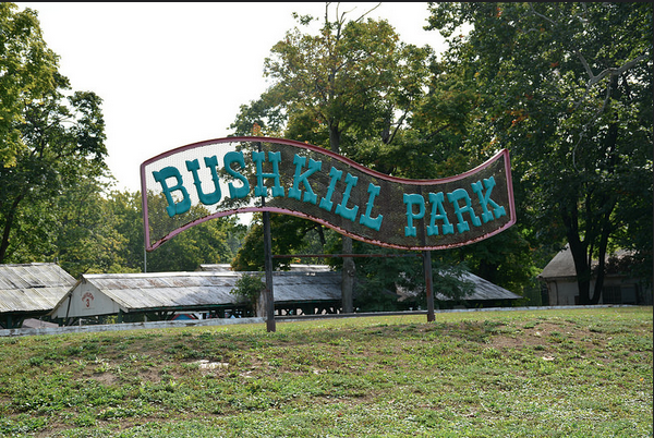
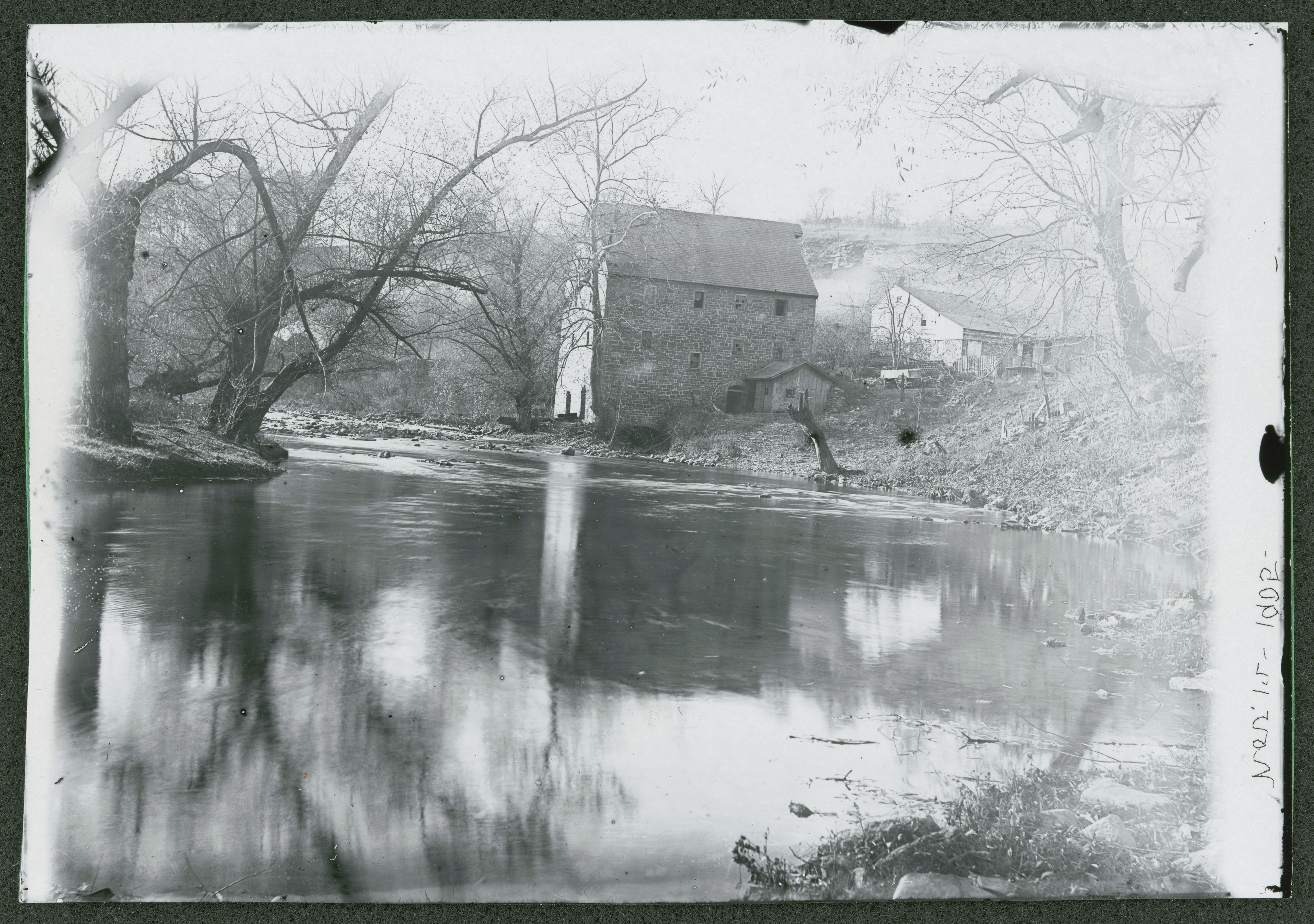
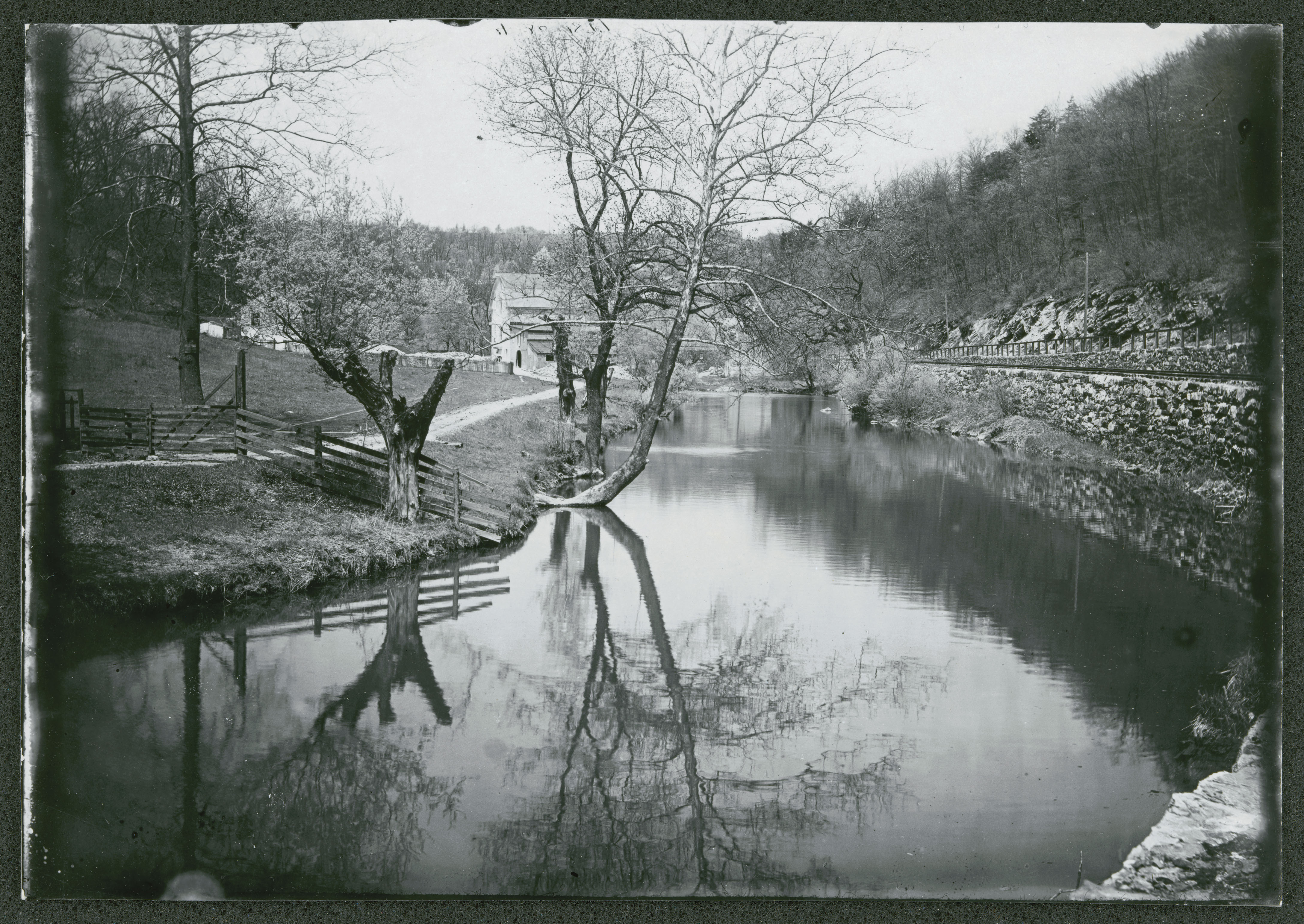
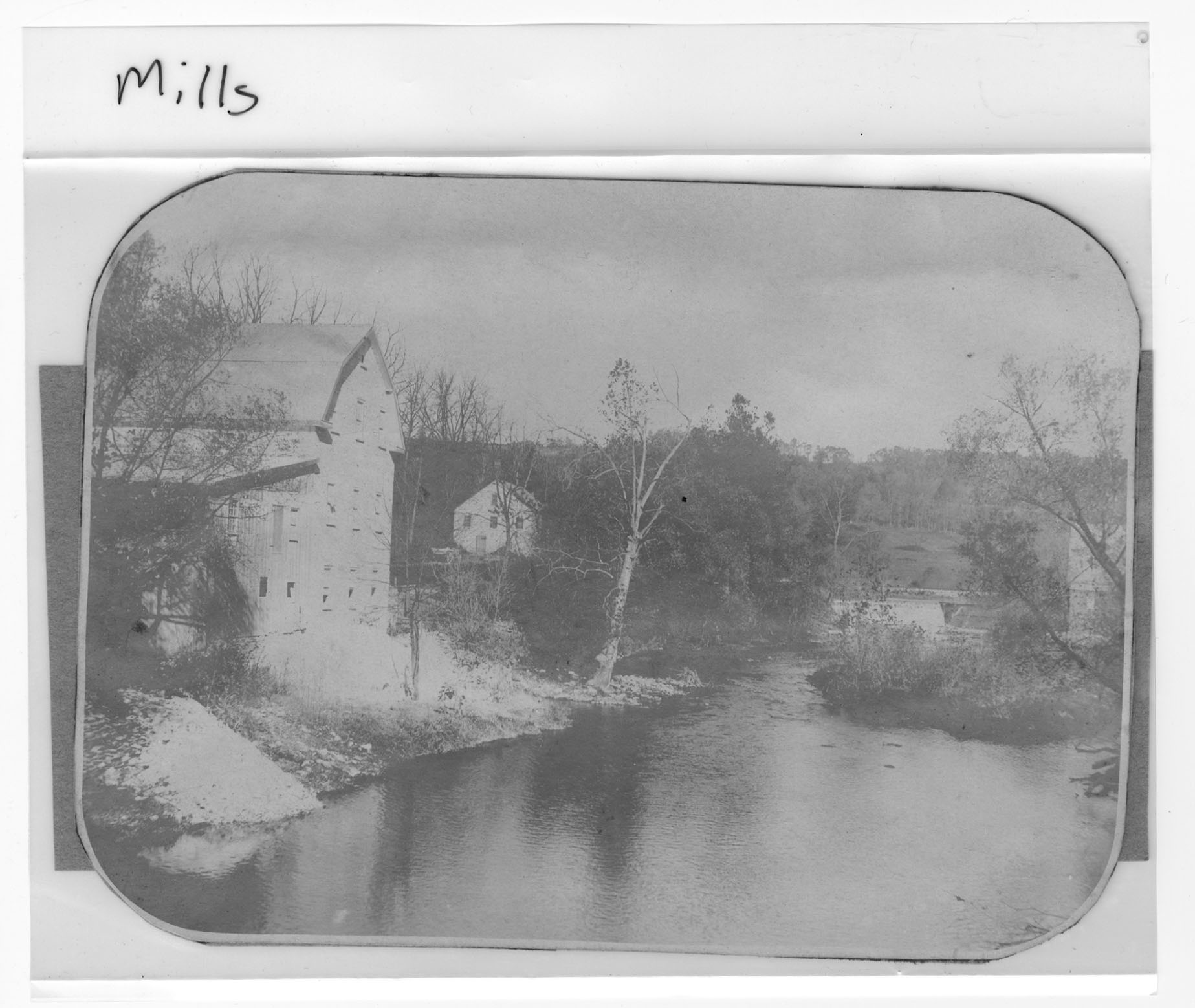
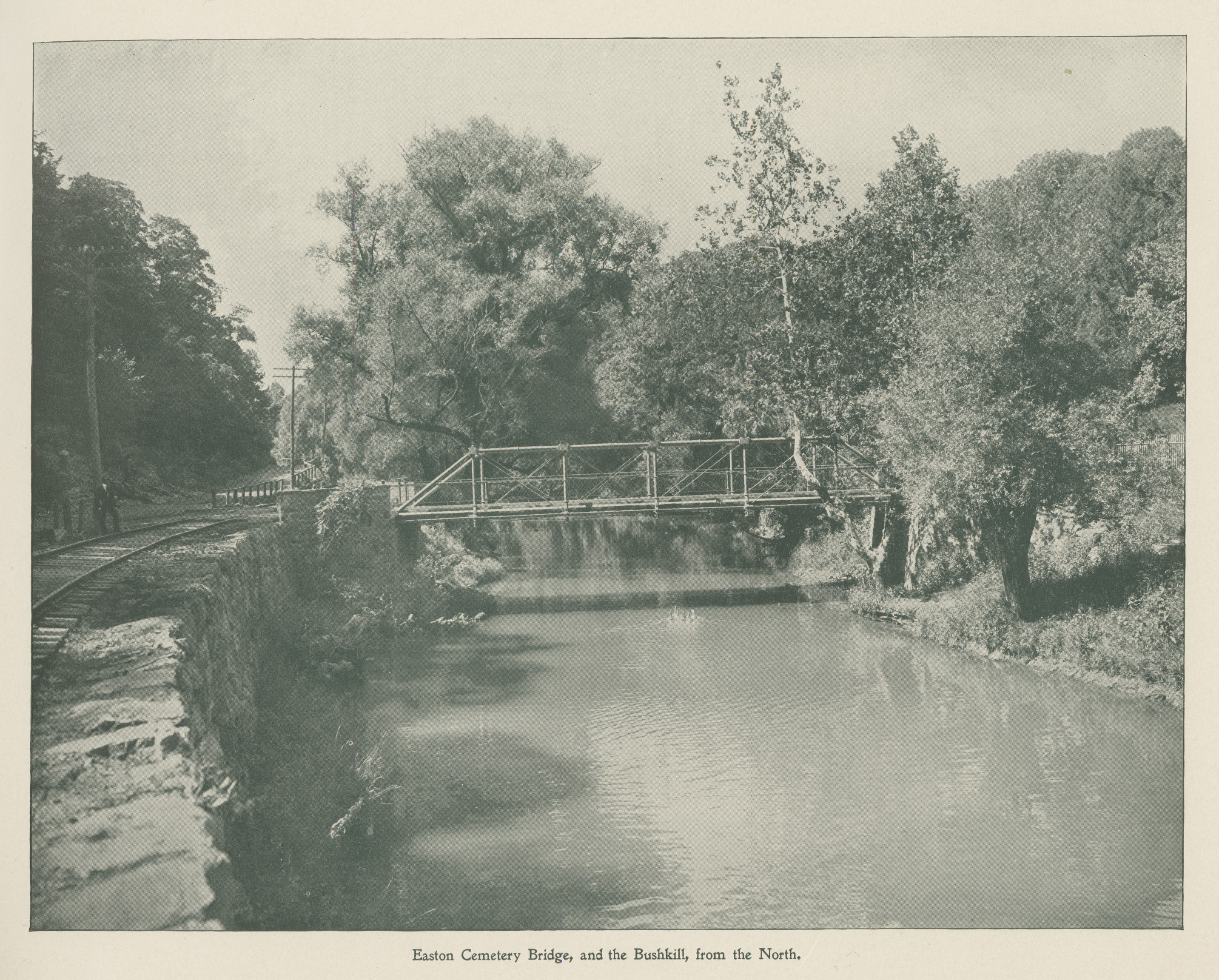
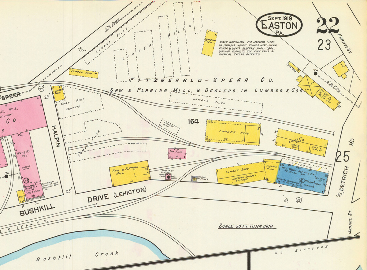
One contact that will be essential to this process is Dick McAteer, Chair of the Easton Redevelopment Authority. He will be able to provide information the development of the Arts trail, past uses of this site (including the silk mill and the railway that once ran through this area). Dick will also be able to tell us more about the future of the site as the mill is redeveloped through Project Silk. Jim Toia and Paul Dearing will be two more important contacts relating more specifically to the Arts Trail and this important aspect of the site’s development. Toia works at the arts campus at Lafayette and was an important player in the created of the Karl Stirner Arts Trail. Dearing, a local landscaper, recently won the contest to design a new piece of art for the trail that will serve to further connect trail users to the creek. It would be interesting to hear why this location is significant to each of them with their own words and perspectives.

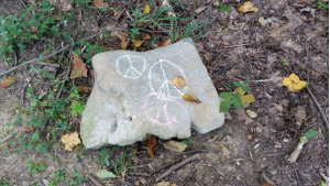
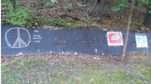
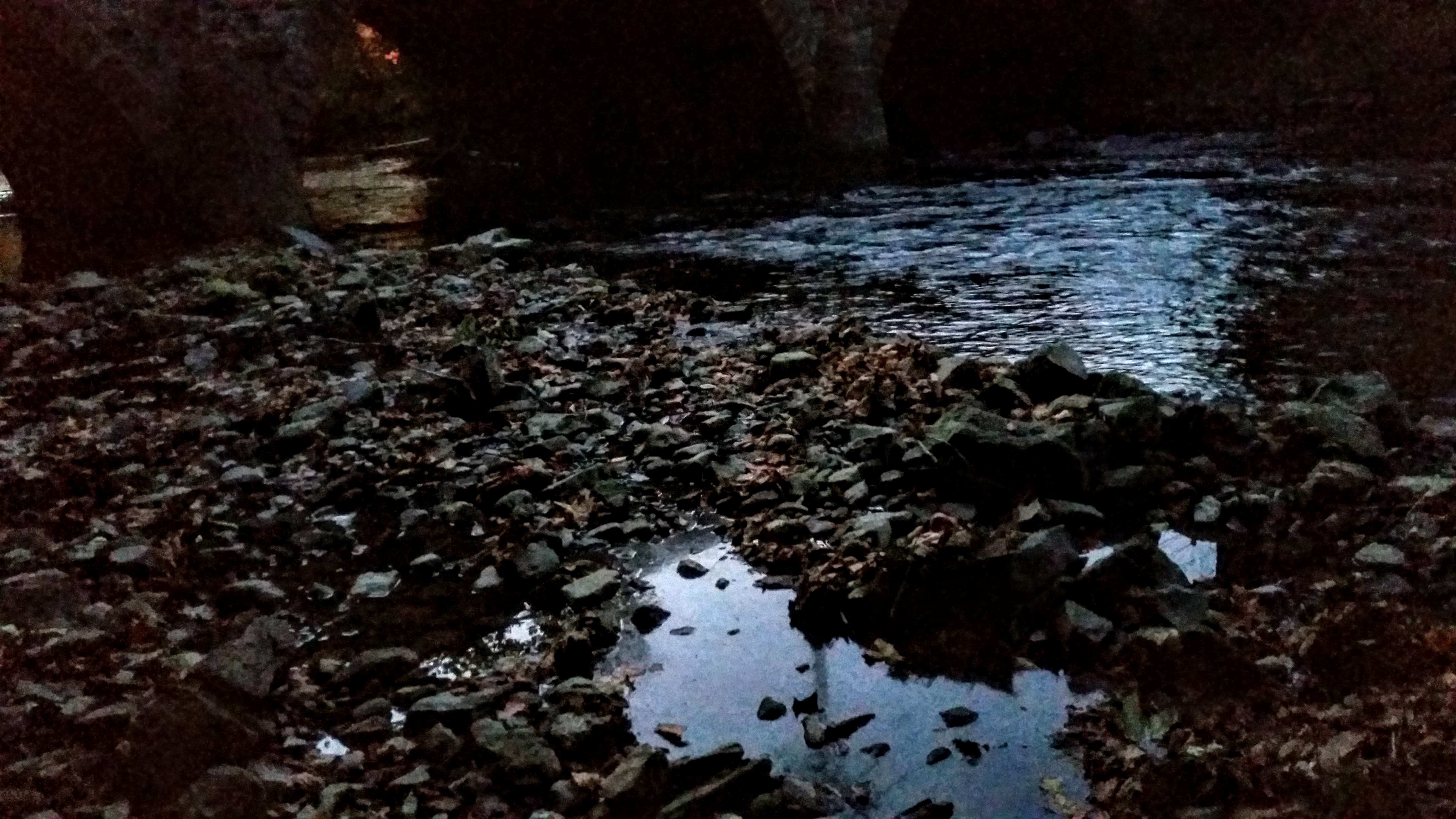
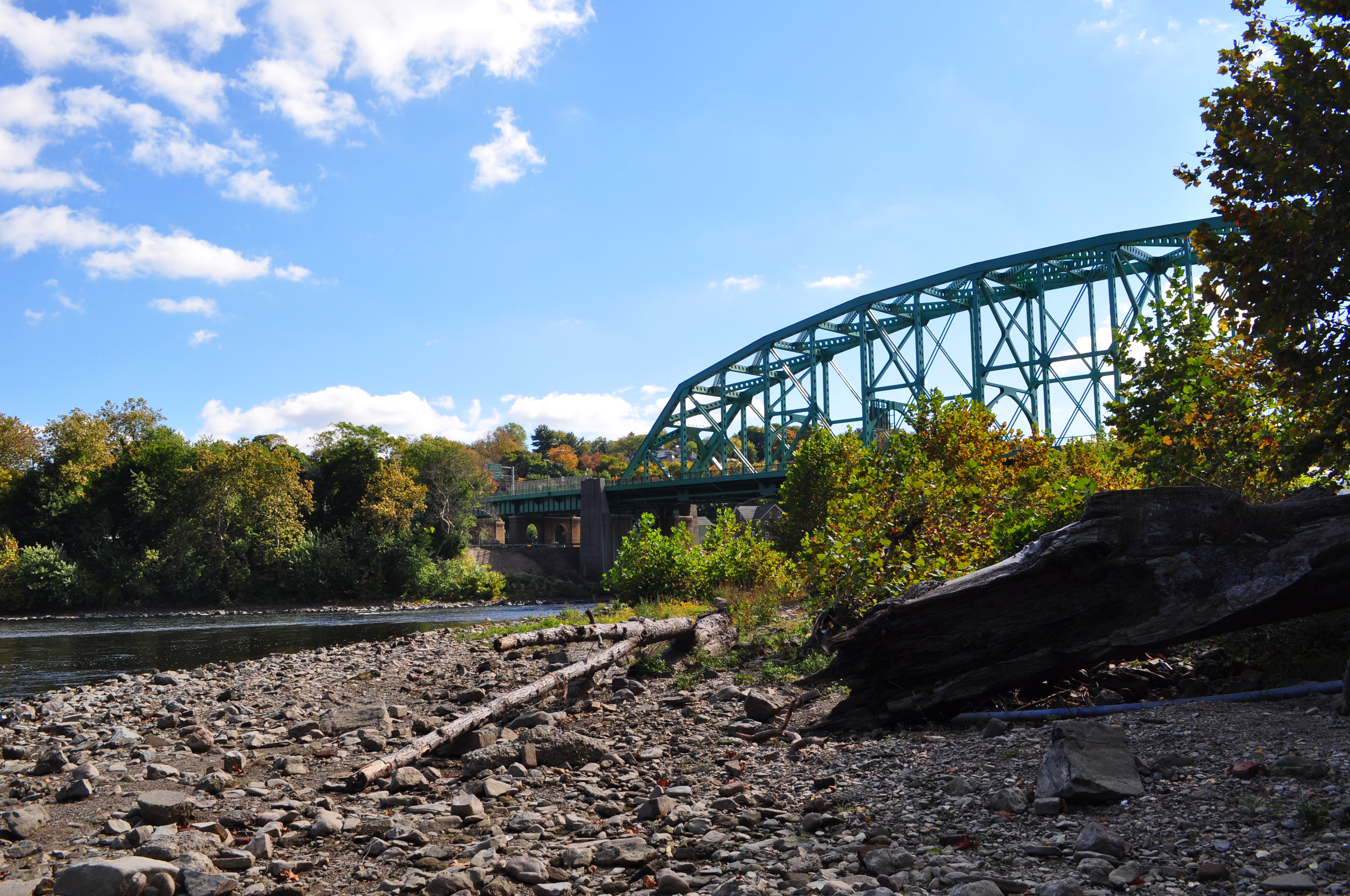
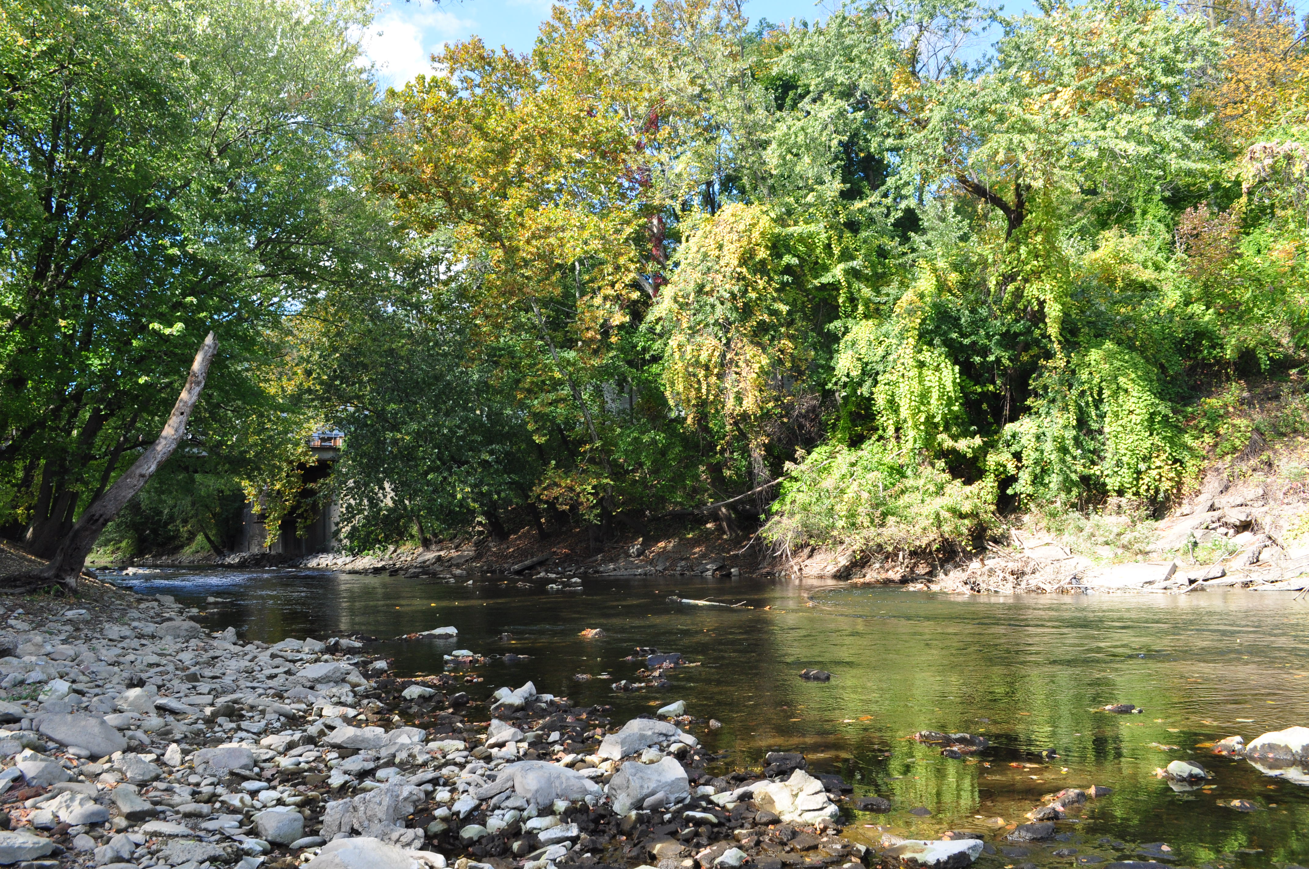
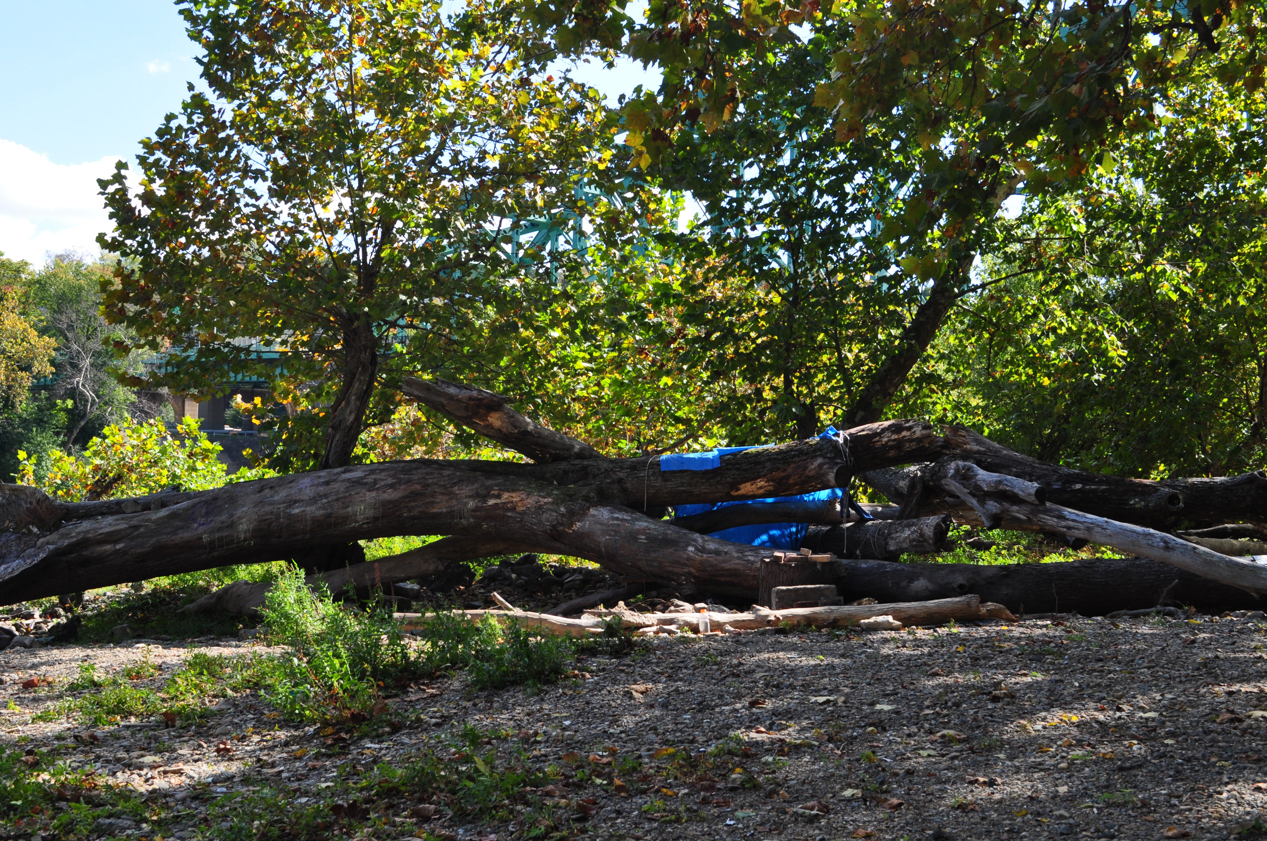
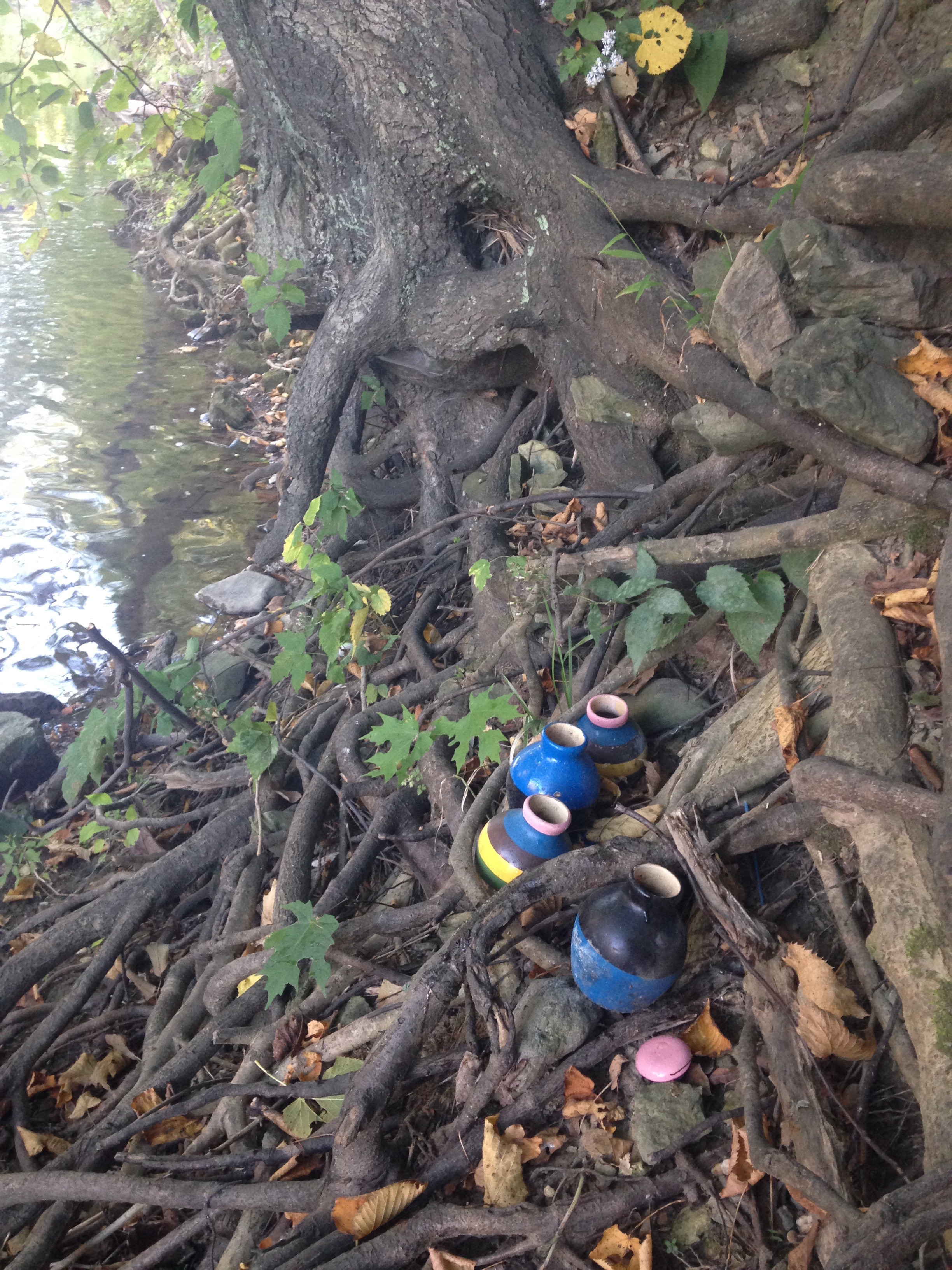
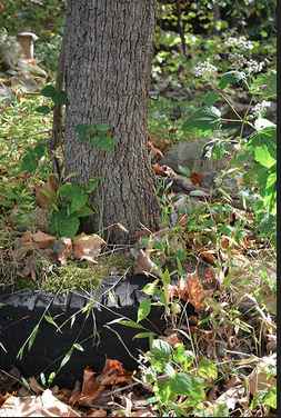
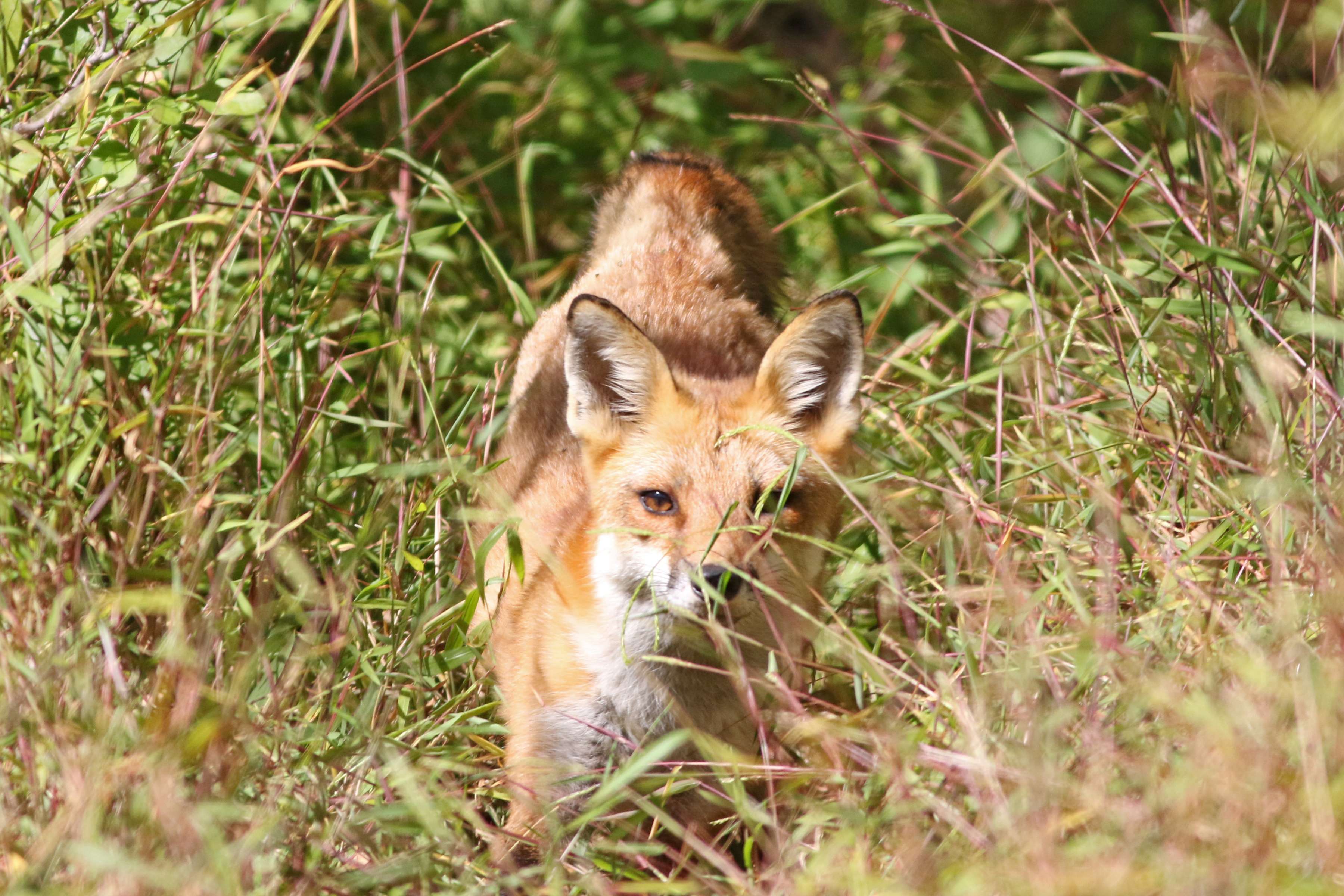
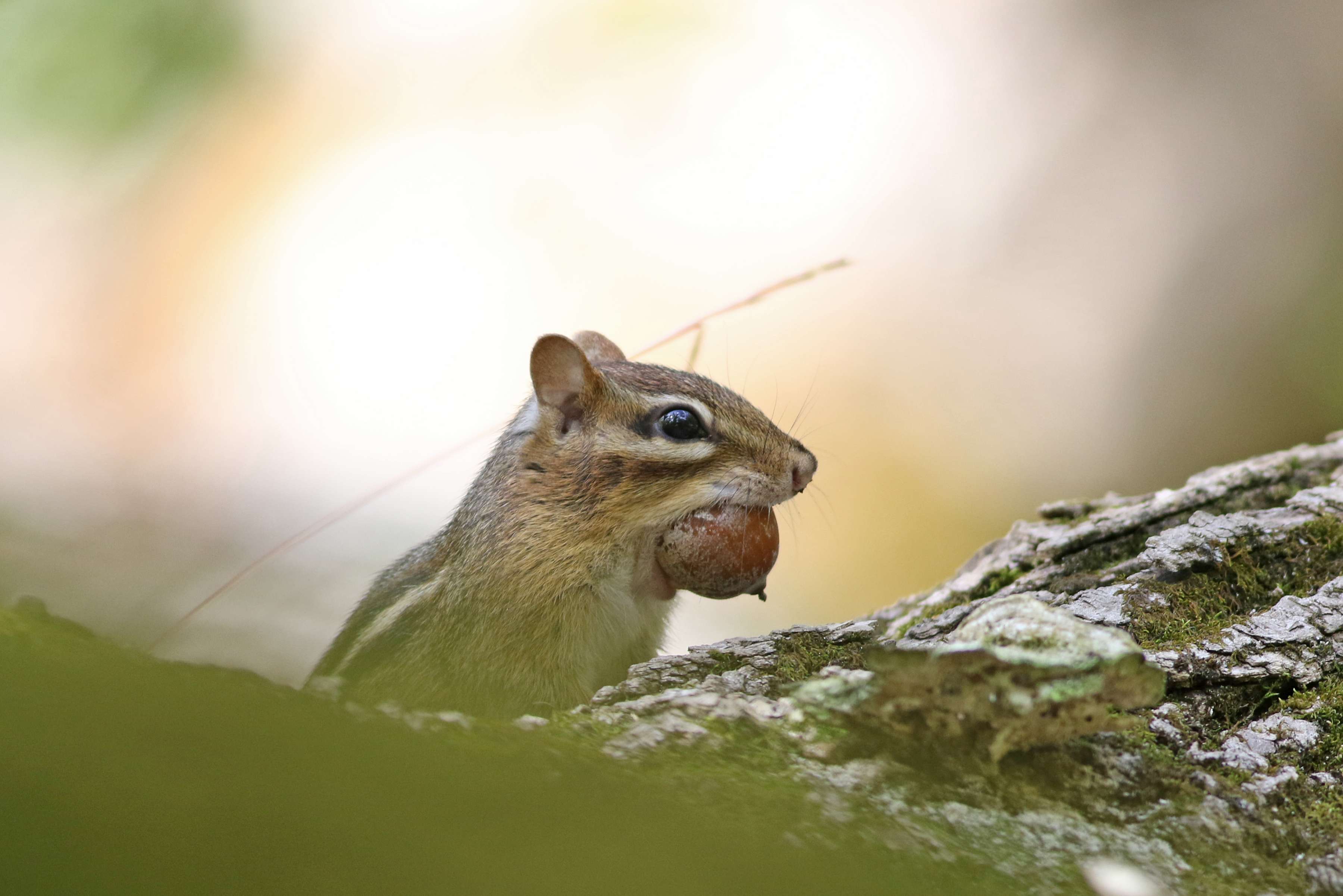
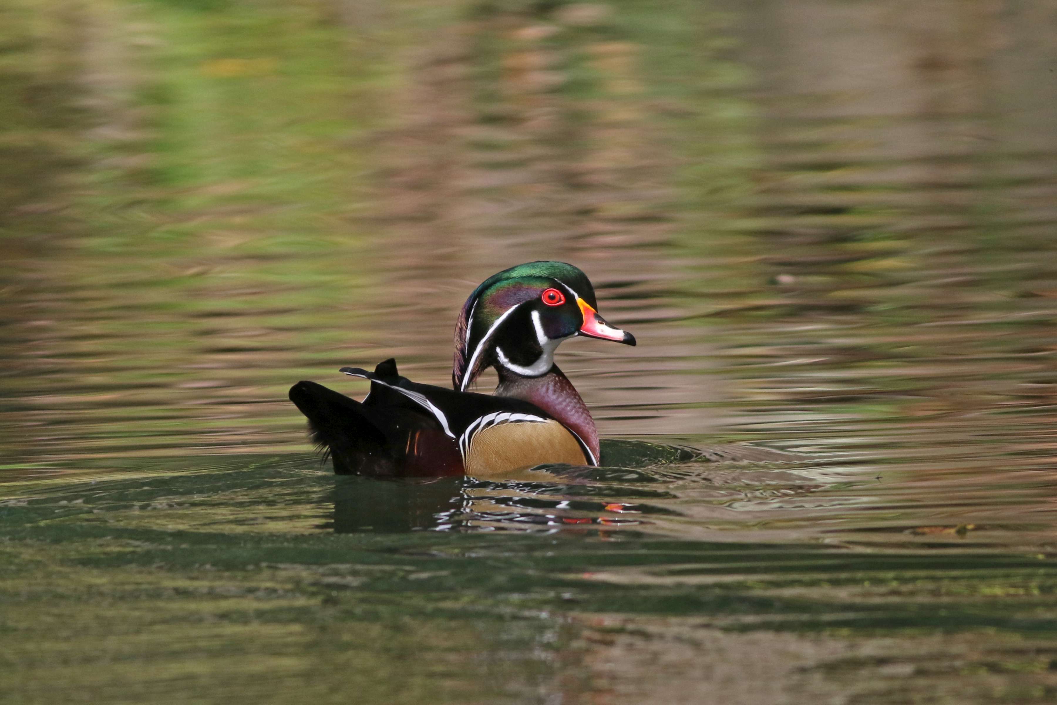
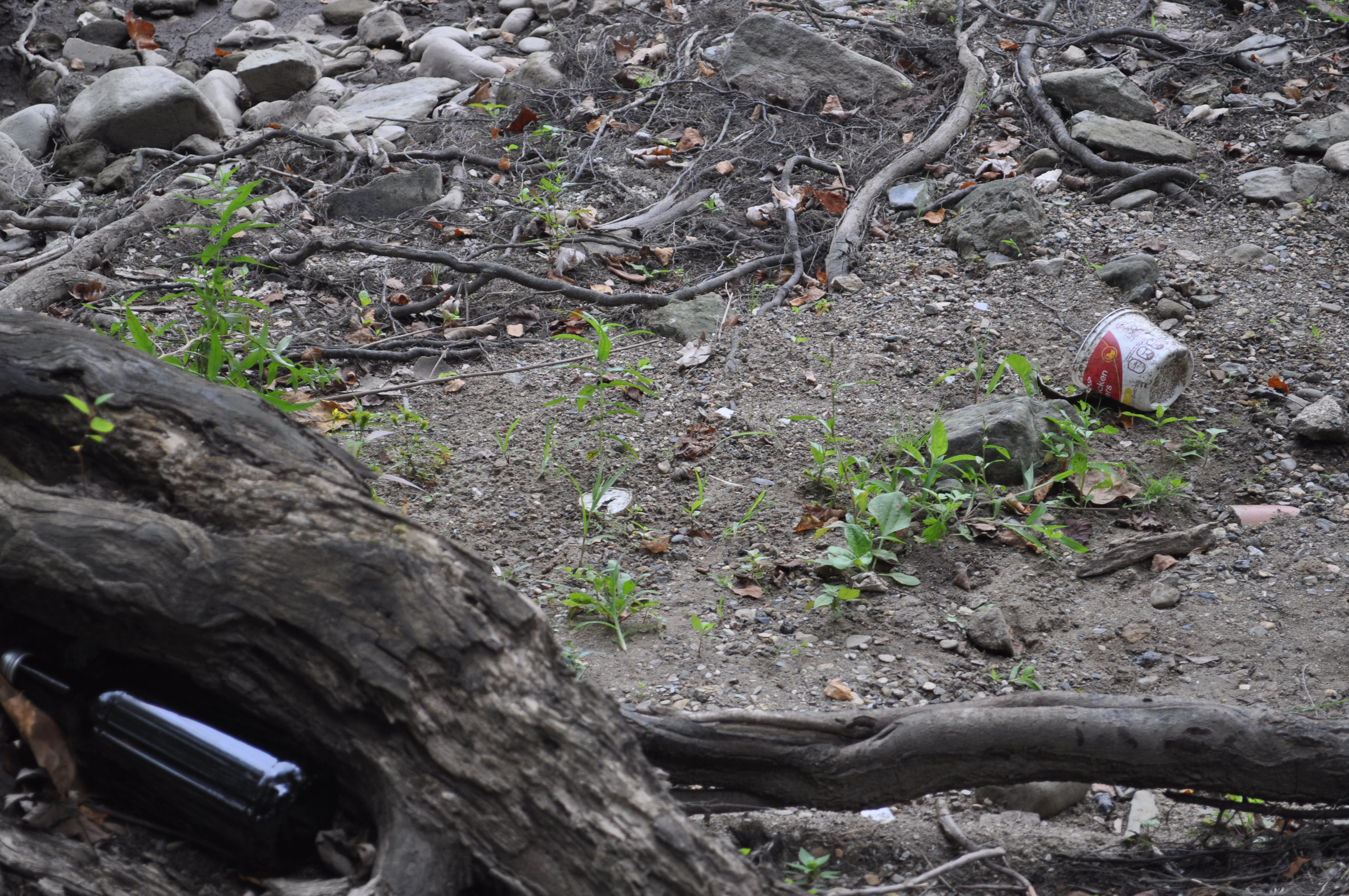
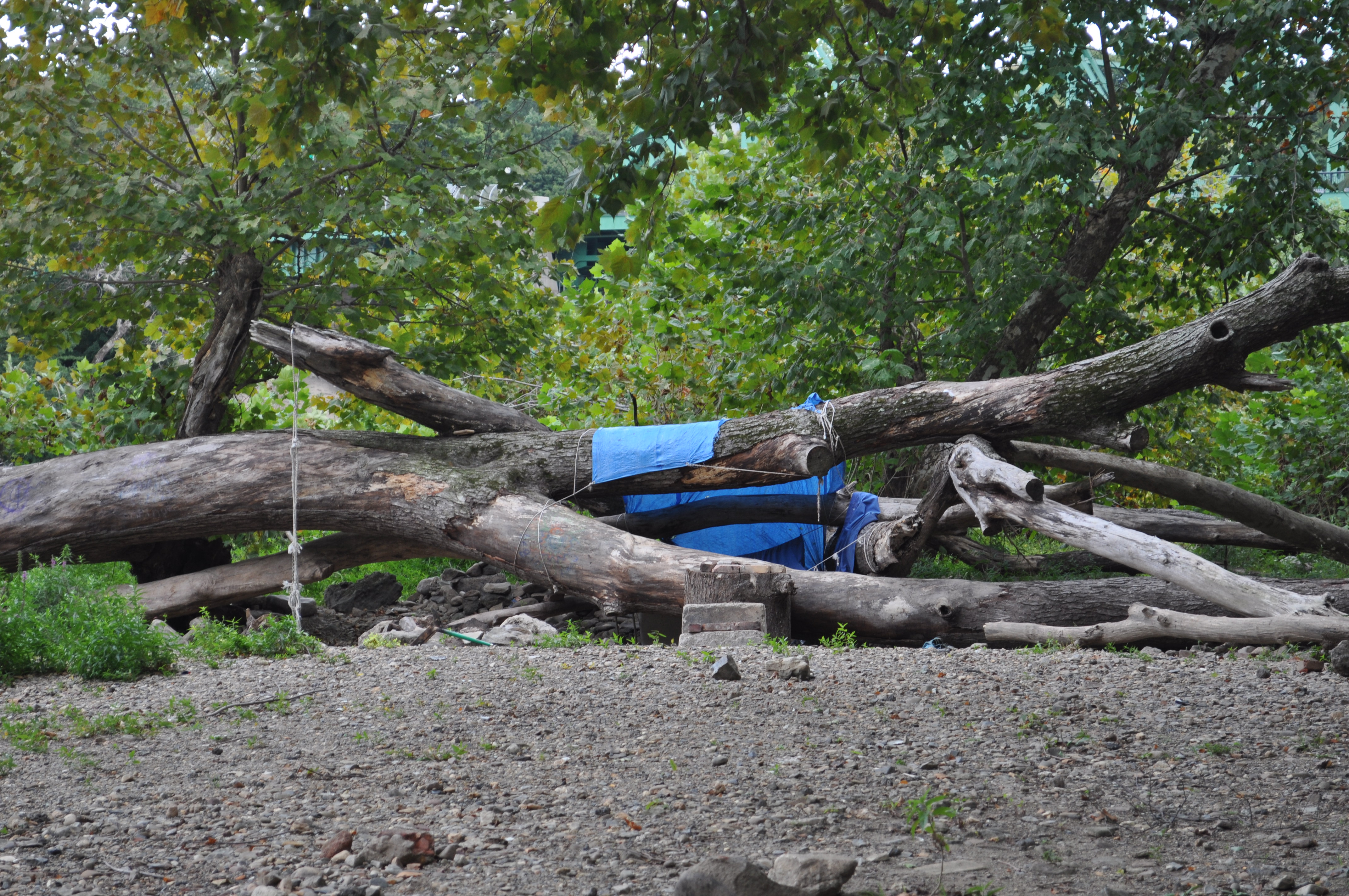
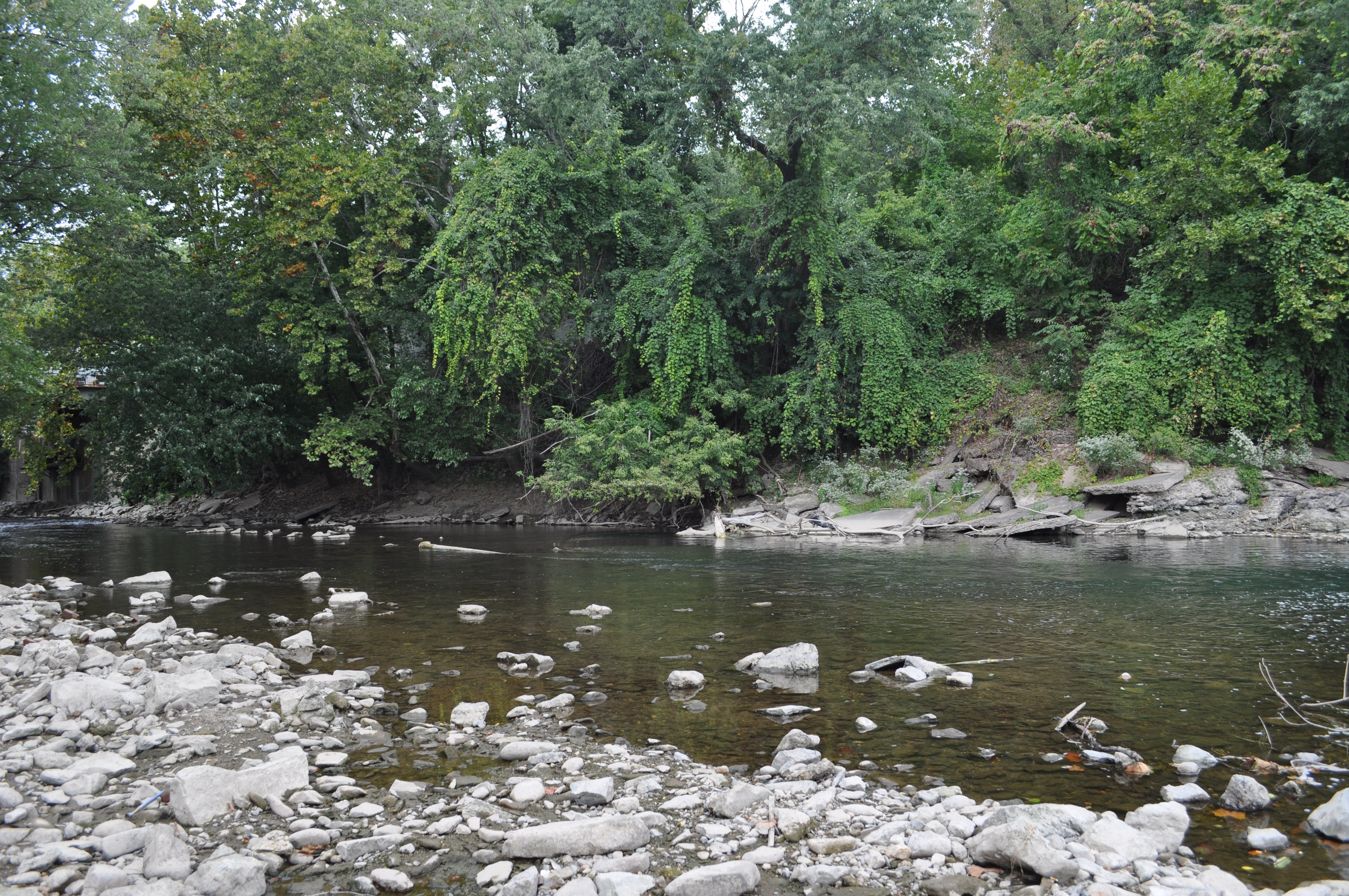
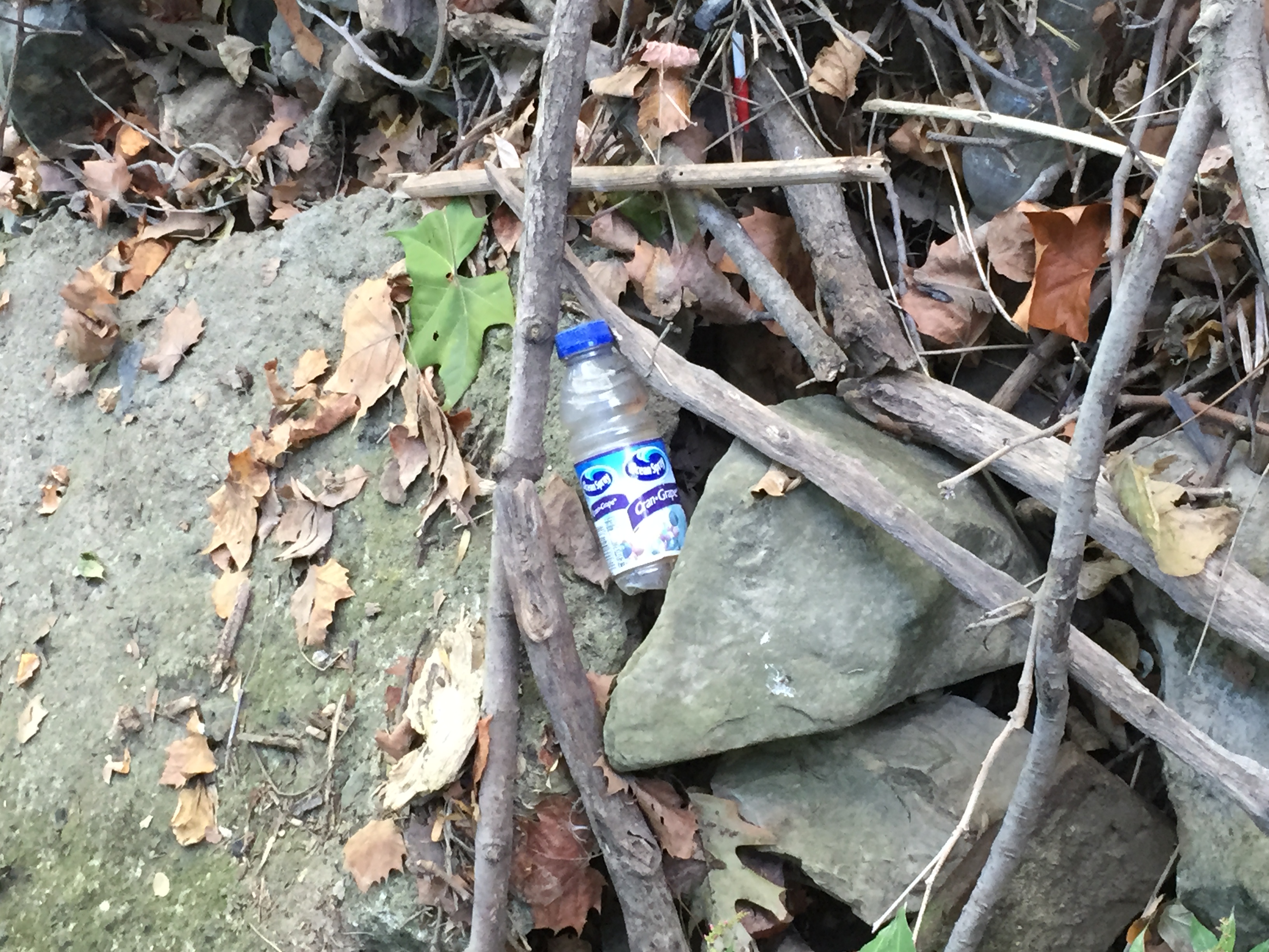
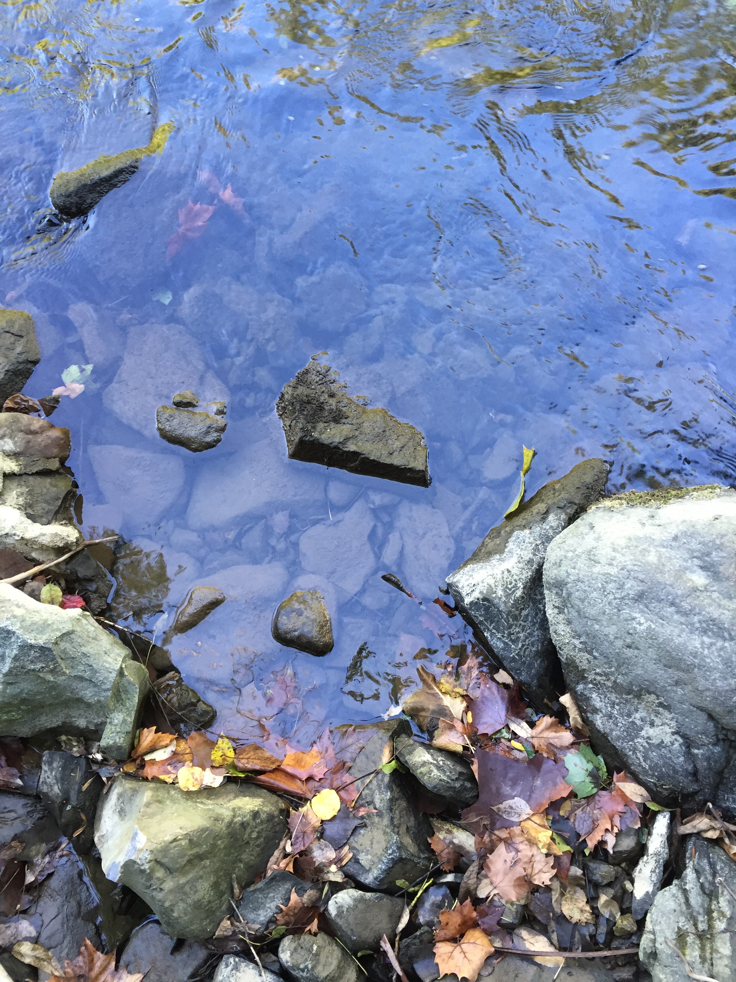
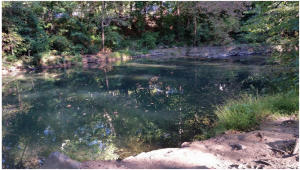
This visit, we focused more on the connections and layers at the site. There is a balance between nature and art, which is something made by man, yet it still enhances the area. The end of the Karl Stirner Arts trail has sounds of construction at the silk mill on one side and sounds of the busy highway on the other, which drowns out the sounds of water and animals. The art along the trail presents a contrast between these built elements and the natural state of the creek and trail. Other additions to the site include words or images in chalk on pavement, rocks, and walls. These are examples of organic (or “vernacular”) art by common people who use this space regularly. We noticed a lot of chalk writing (with social and political messages) and objects left behind along the creek (For example, a row of three matching pottery pieces were left in the roots of a tree). In our video we also plan to show how activity changes throughout the day. It became apparent that we should include elements to the project that will reflect the people using the trail, so we hope to bike through the area with a camera to capture the human element here.

IMG_5656

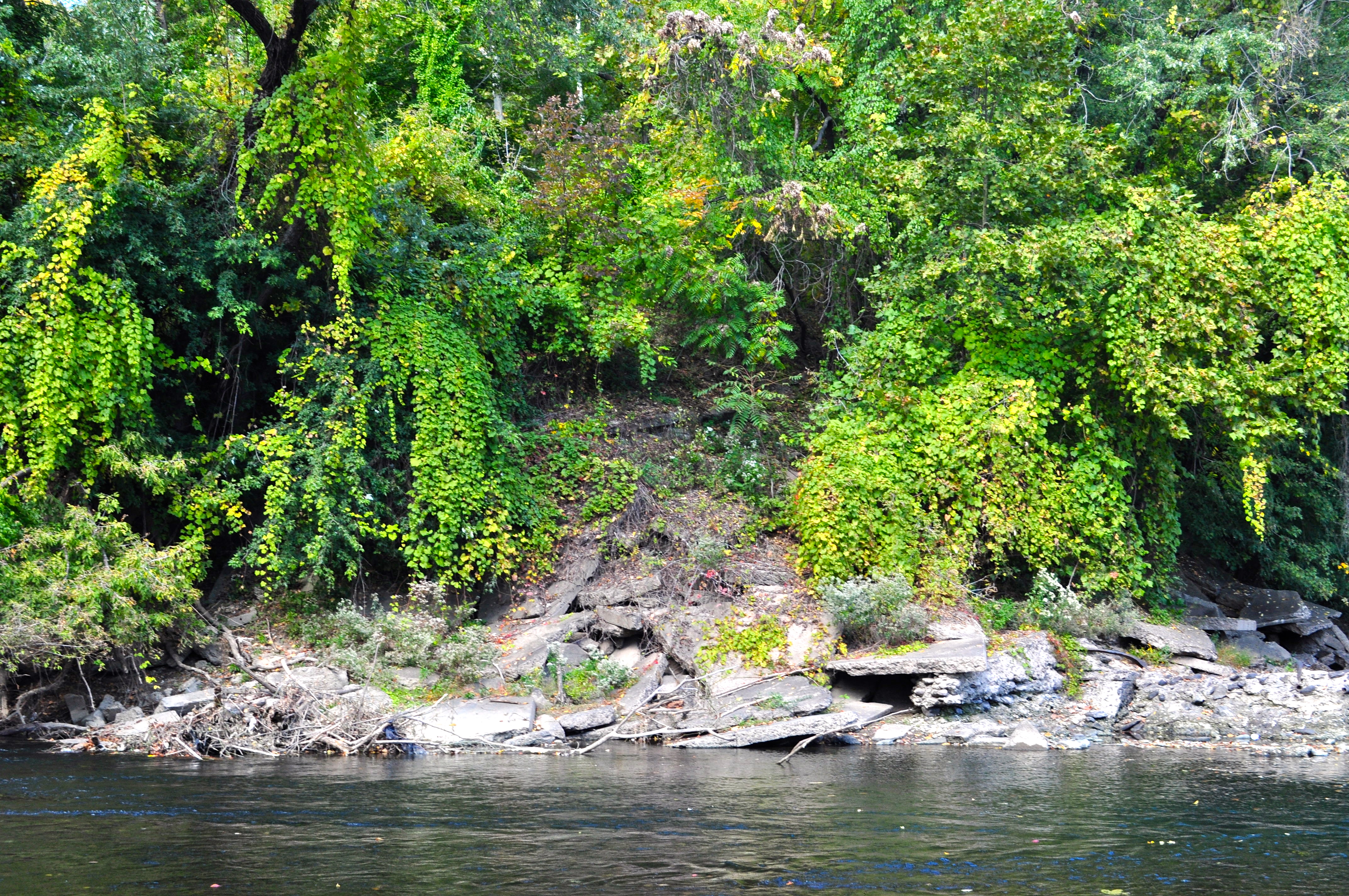
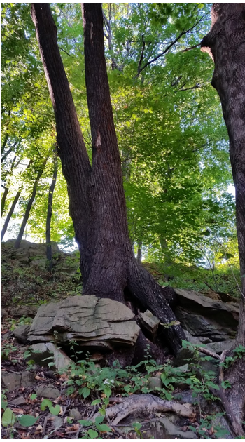
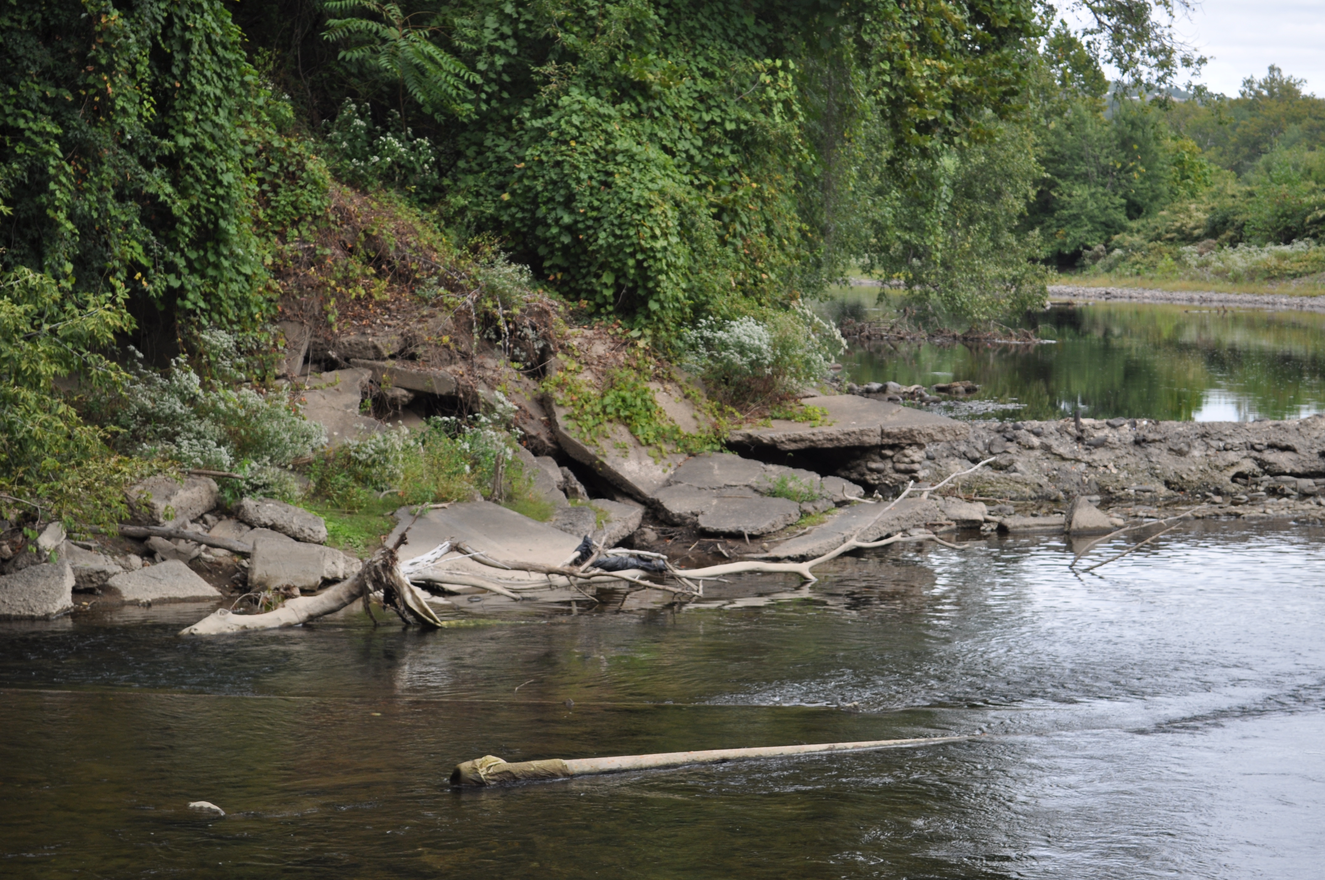
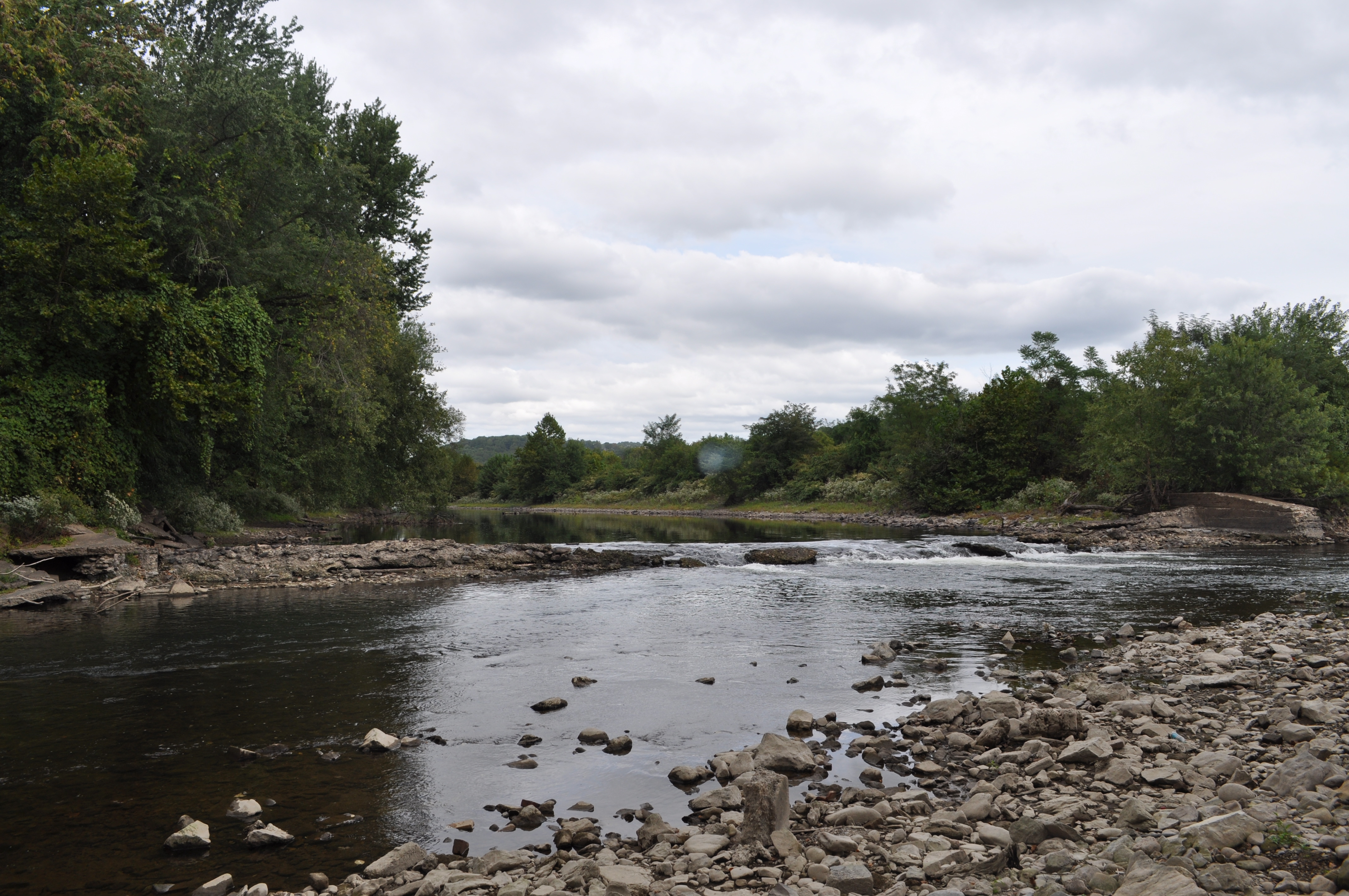
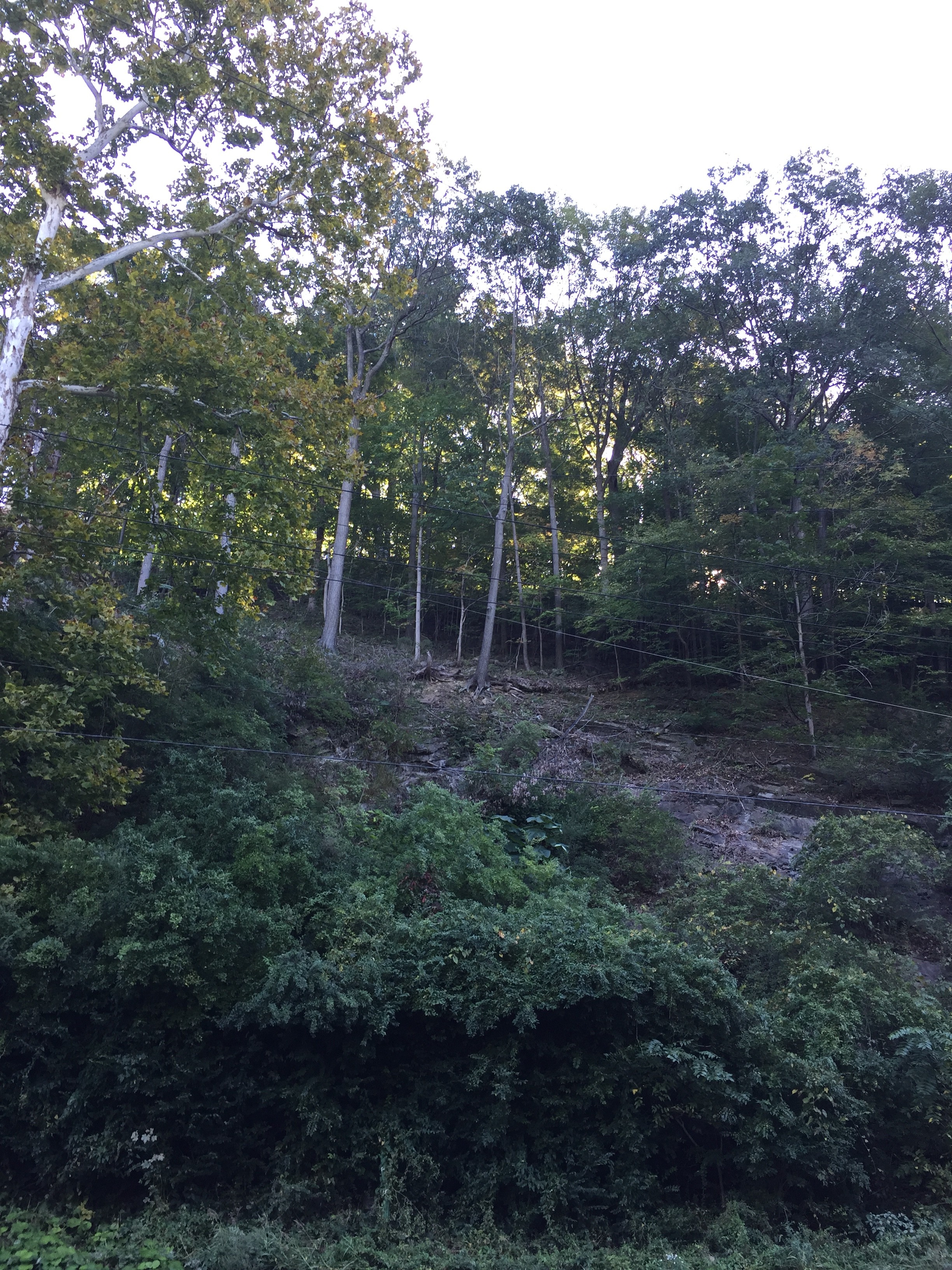
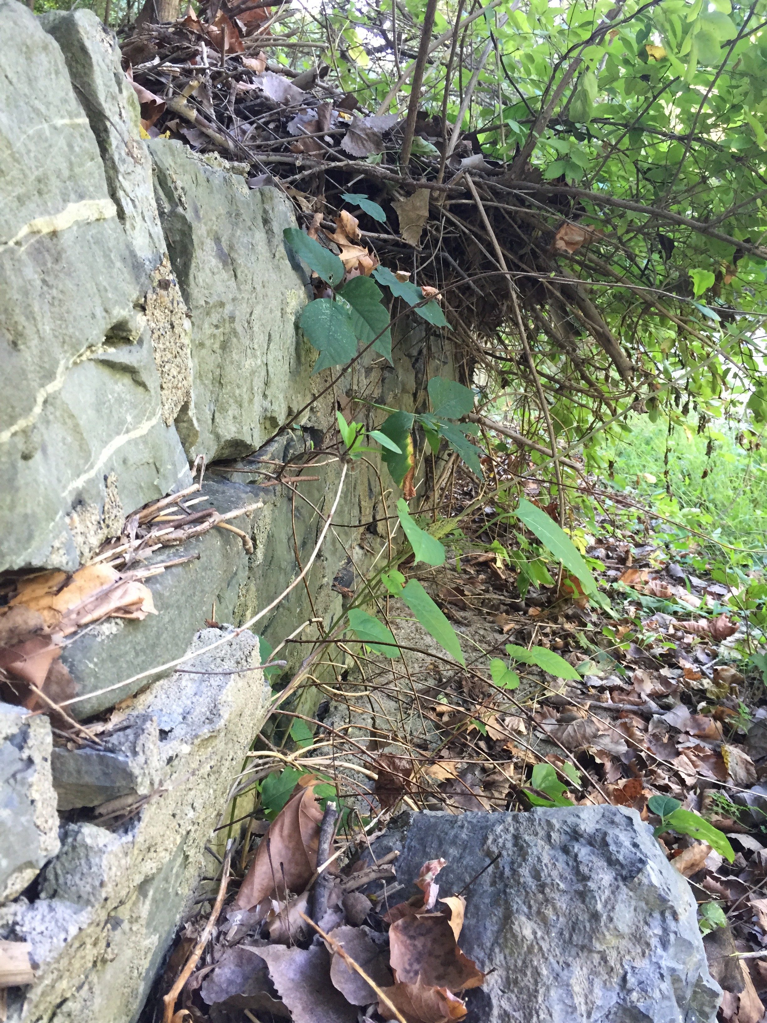
The development of layers over time has sparked our interest as an avenue to explore in our story. There are layers of art, industry, development, nature, history, and time. We hope to reflect the layers we have observed through additional various layers of images, video, and sound in our media production. The historical element incorporates how the land use has changed over time, including the trail as a former railroad track and the establishment of the mill. Some of the trees in the area might even be of similar ages to the mill. Numerous rocky outcroppings along the trail on opposite side from the water might represent these changes over time, as there is evidence of nature reclaiming old spots (such as a former dam area). There is a sense of time somewhere between the generation time that we perceive and geologic time.

Screen Shot 2015-09-28 at 8.49.48 PM Screen Shot 2015-09-28 at 8.50.06 PM

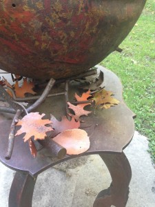
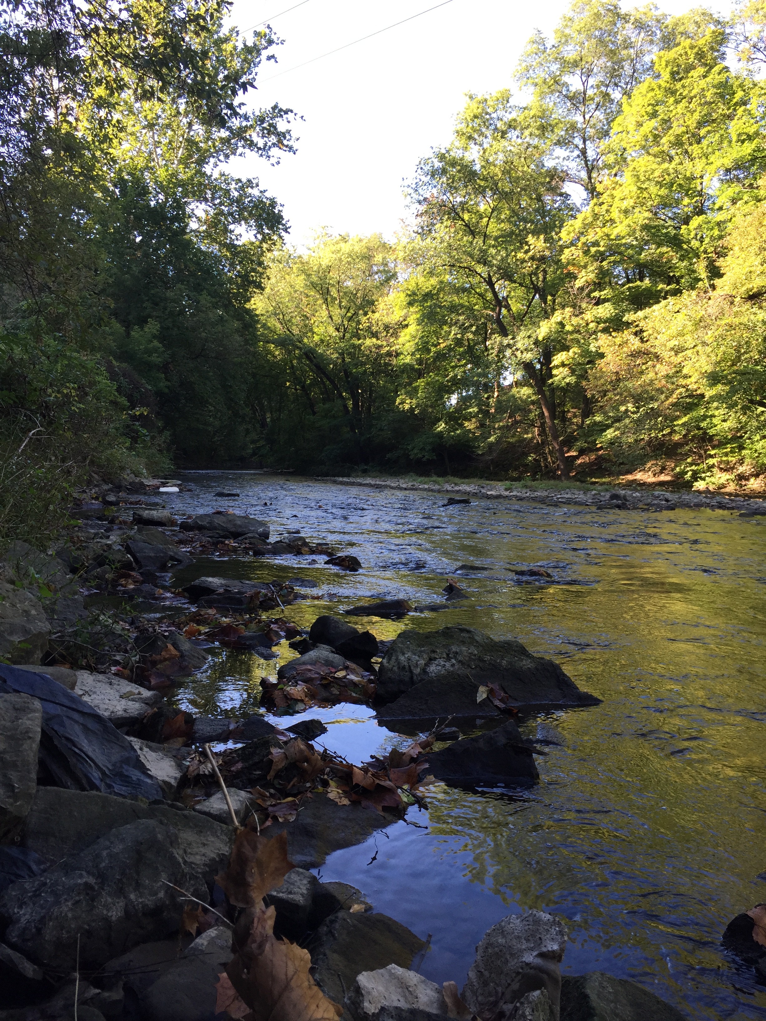
All of the elements and layers are connected in this relatively small area. Water bars drain from the highway down toward the trail and creek, connecting these distinctly different spots. An art piece that includes leaves in the sculpture had a real leaf sitting amongst the constructed ones. A tree has grown around and through rock. People use the trail regularly. New construction is bringing life back to the old mill, connecting the times. The creek purposefully runs parallel to the trail. The layers create such a rich environment.

Screen Shot 2015-09-28 at 8.50.12 PM Screen Shot 2015-09-28 at 8.50.20 PM Screen Shot 2015-09-28 at 8.50.35 PM IMG_5654

Bushkill Park Update

On Friday Jeremy, Lori and I went to our site, Bushkill Park, and met up with Professor Brandis. The first time we had ever gone to our site we were pretty intimidated because there were signs all over the place that said “private property” and signs stating the the fine for trespassing on the property. Unfortunately on our last trip we didn’t get to explore as much as we had hoped we would. So compared to our last trip this trip was much more successful. When we arrived at the site Professor Brandis was already there and met the groundskeeper of the park- he is actually a man who used to work in dining services at Lafayette, but is now retired. He was able to give us a little information about the history of the park and told us that it was fine if we walked along the river on the side of the park. He was also able to give us the name of a guy who has lived near the park for a very long time, and he said he thinks the guy would be very interested in talking to us about our site. We are really excited to reach out to him and hear his story!

Our site is really interesting because it used to be an amusement park that was closed down due to damage from a huge flood in 2004 (from Hurricane Ivan. It was a 100-year flood). Our site is surrounded by the Bushkill River, and even though we weren’t able to enter the park grounds we were able to walk along the river and see a lot of our site. We learned while we were there that at one point was a dam on the river and also an old mill that used to be right on the river! We are really interested in both of these and looking forward to finding out more about them. We also can across an open field (meadow like) and we are really interested in looking into what it was used for. We are hoping to try and take a trip to the Easton Public Library to look at some archives to see if we can find any new information.

We came across some wildlife at the park- we saw deer tracks, we saw a bunch of ducks on the river, we saw a groundhog and we also saw a red fox. Professor Brandis was climbing up one of the banks of the river and the red fox was right at the top of the bank, by the time I had gotten up the bank the red fox was on the move, running across the field and I only saw it for a quick second as it ran underneath a building.

Screen Shot 2015-09-27 at 8.15.28 PMThis a photo of the main buildings at the park. The blue building is the fun house.

Screen Shot 2015-09-27 at 8.15.51 PMWe came across this building on the back of the property. It was really interesting because on the side of it is a painting of a mill- we are wondering if it has anything to do with the mill that used to be on the river! On the other side of the building is a door frame and if you look you can see grass that is growing inside the building.

Screen Shot 2015-09-27 at 8.16.35 PMHere are some of the ducks we saw on a section of the river. If you look closely you can see some people sitting on the rocks.Screen Shot 2015-09-27 at 8.16.50 PM This is a picture Lori took with her back toward the river looking at the side of the park.Screen Shot 2015-09-27 at 8.17.28 PMScreen Shot 2015-09-27 at 8.17.43 PM These are some views looking down the river.

Screen Shot 2015-09-27 at 8.18.02 PMWe followed the river all the way back behind the park and we found a tree that had grown through a tire.

Vulpes vulpes!

On Friday morning while visiting the former Bushkill Park site (with Jackie, Lori, and Jeremy), we saw a red fox run dash across the back meadow and scoot under an old building. Today I decided to take a break from grading papers and sit by Bushkill Creek with my camera for a while. This was on a patch of preserved land a little downstream of the Park. Had some nice views of nature, and none other than Vulpes vulpes himself as I headed back to my car. He turned tail quickly and melted into the woods.

JS1A4157v2-3600

JS1A4134v2-3600

JS1A4009v2-3600

Story of Place with Bethany, Erik and Tessa


When we returned to our spot this week as our second visit, we all felt more comfortable. Part of that we attributed to having been here before and knowing what to expect. We were all surprised by how little seemed to have changed in the week between our visits. The biggest difference we observed was the weather and how it seemed a bit less friendly on an overcast day than when the sun is out in full force. The water level ran at about the same height, having not had any rain in the past week. We did encounter the same man up by the road. He was standing in the same place and was, oddly enough, changing his shirt, the same action we witnessed last week. We saw him as we drove by but by the time we had parked and come back, he was gone. If he is there during our next visit, we hope to have a conversation with him and find out what he does at the corner.DSC_0108 DSC_0110 There is lots of litter here. It is probably a combination of what has been washed up on shore from deposition further up the river and litter from people who may come here to hang out.DSC_0112 The campsite of a homeless person was still there, although with a few modifications. We noticed that the target had been removed so we know that someone is living there now and it’s not from a long time ago.DSC_0114 Underneath the bridge that we cross over to reach our spot.

DSC_0116 A few shots of the two rivers meeting. The island is  visible to the right, as well as the remains of the dam, where the white water flows.

DSC_0127 DSC_0128The whiter rocks are the same rocks that are submerged in the water, so this area would be underwater if the river was higher.

Story of Place II

For today, I tried to gain a better understanding of the history behind the buildings that line Bushkill Drive around the bend of the Creek. I called on one location with local business contacts called International Dye and Chemical. There was no answer, but I decided to leave a vague voicemail. The second location researched was the Fitzgerald Speer Lumber Company that resides next to the current Lafayette parking lot. (The location is seen in historical map from 1919). I e-mailed their contact for more information regarding their history along the Bushkill.

Joe went down to the Creek again this morning while we were researching to try and emulate the pictures that were put up on Moodle of the old mills. He realized after a few minutes of taking pictures that he was standing on the remnants of the stone retaining wall that is featured in one of the snowy photographs. Also, he may have sighted the ruins of one of the mill buildings itself along the Creekside.

Emily contacted the Archives and went through the photos we were given access to on the Google Drive. After looking at Joe’s photos from the Creek she was able to find some matches between his photos and those on the Google Drive. Meeting with Archives tomorrow to research location.

Retaining Wall and Power Lines

Retaining Wall and Power Lines

Wagner Mill

Wagner Mill

NCHGS_A_05_a_recto

Back side of Wagner Mill

Back side of Wagner Mill

FOD_CemetaryBridgefromN_p65v2

Map of Location from 1919

Map of Location from 1919

IMG_2387

Remains on right side of Creek- Wagner Mill

Remains on right side of Creek- Wagner Mill

Power Lines-see snowy picture

Power Lines-see snowy picture

~artsy~ by Joe R.

~artsy~ by Joe R.

IMG_2375IMG_2374

Retaining Wall from Snowy Picture

Retaining Wall from Snowy Picture