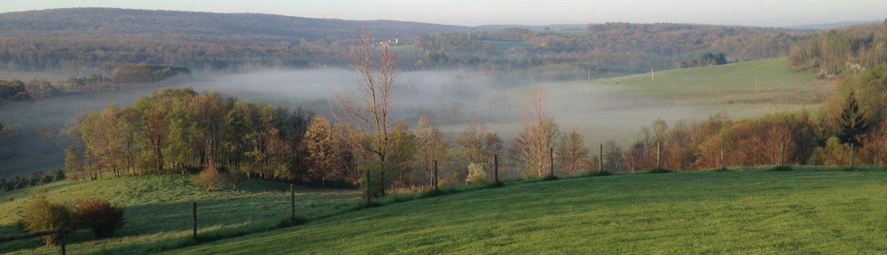

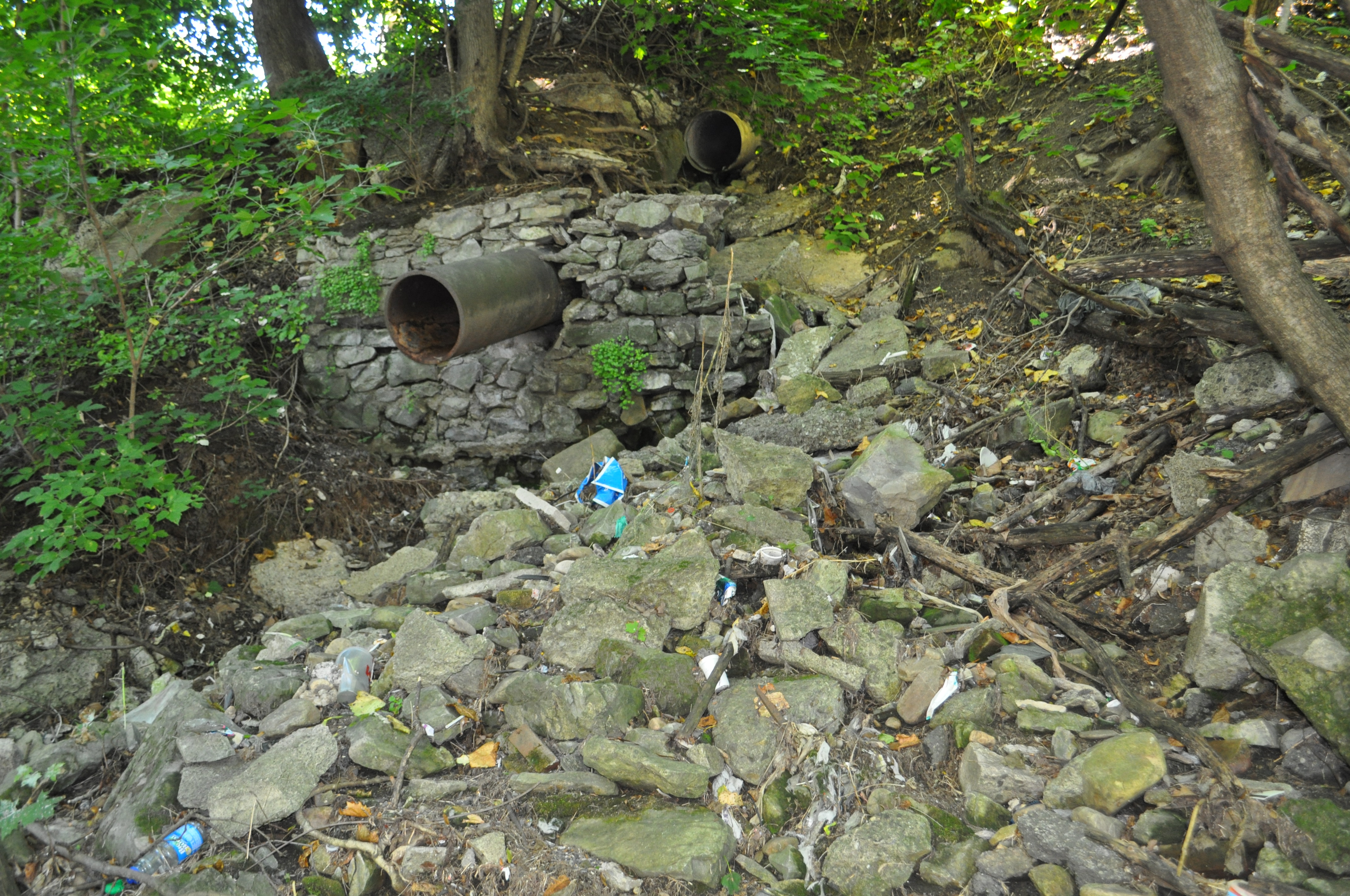
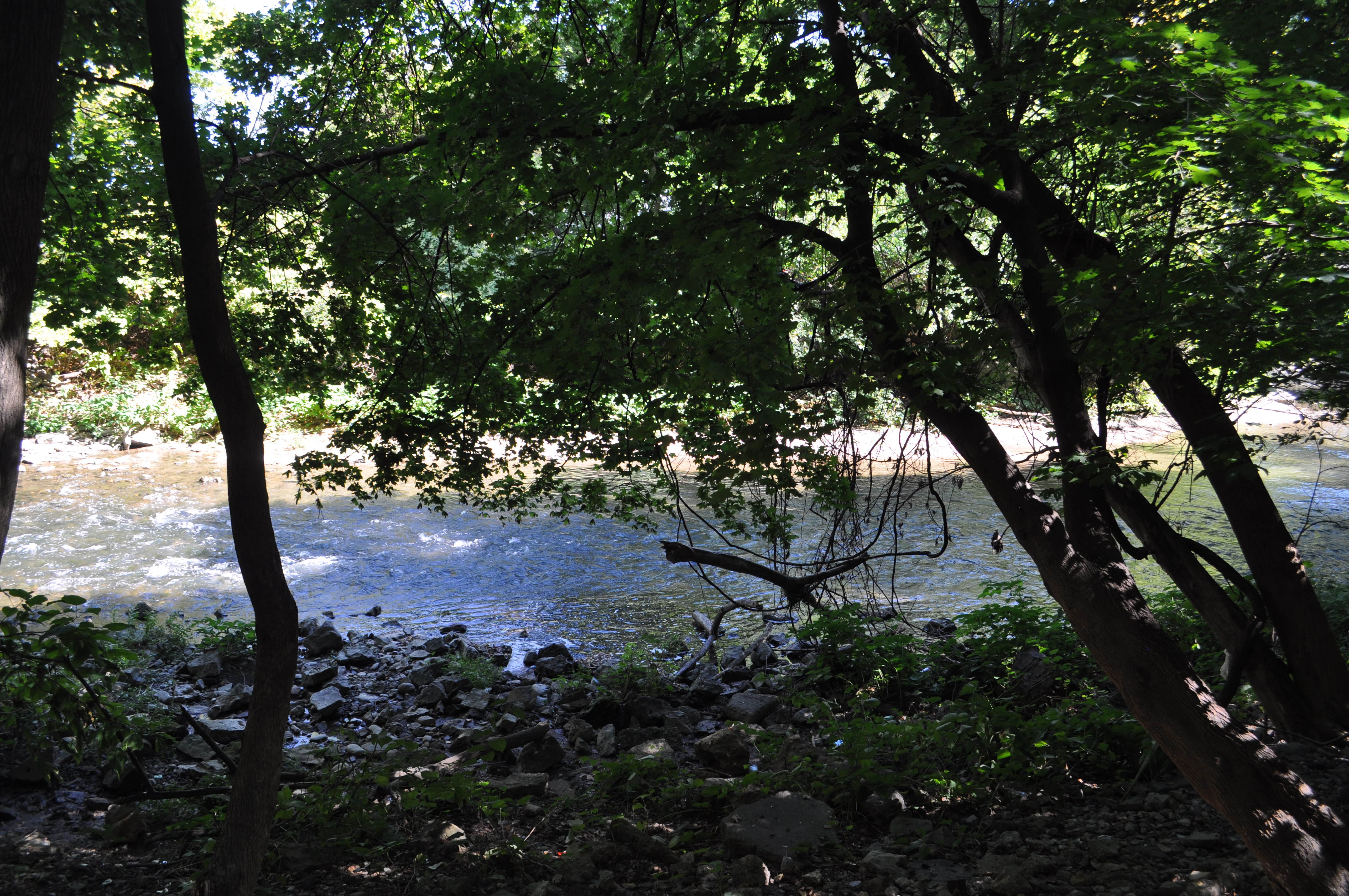
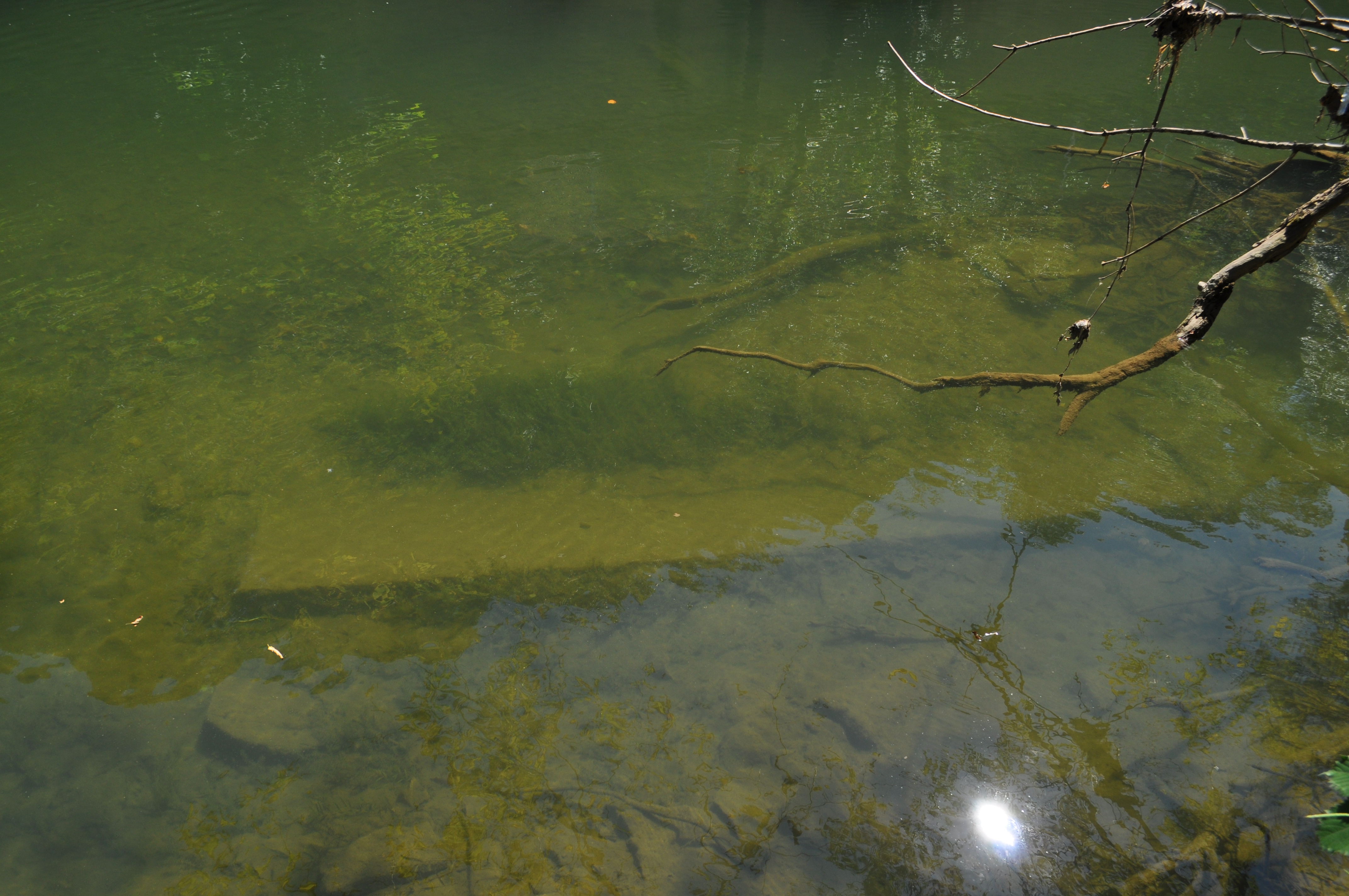
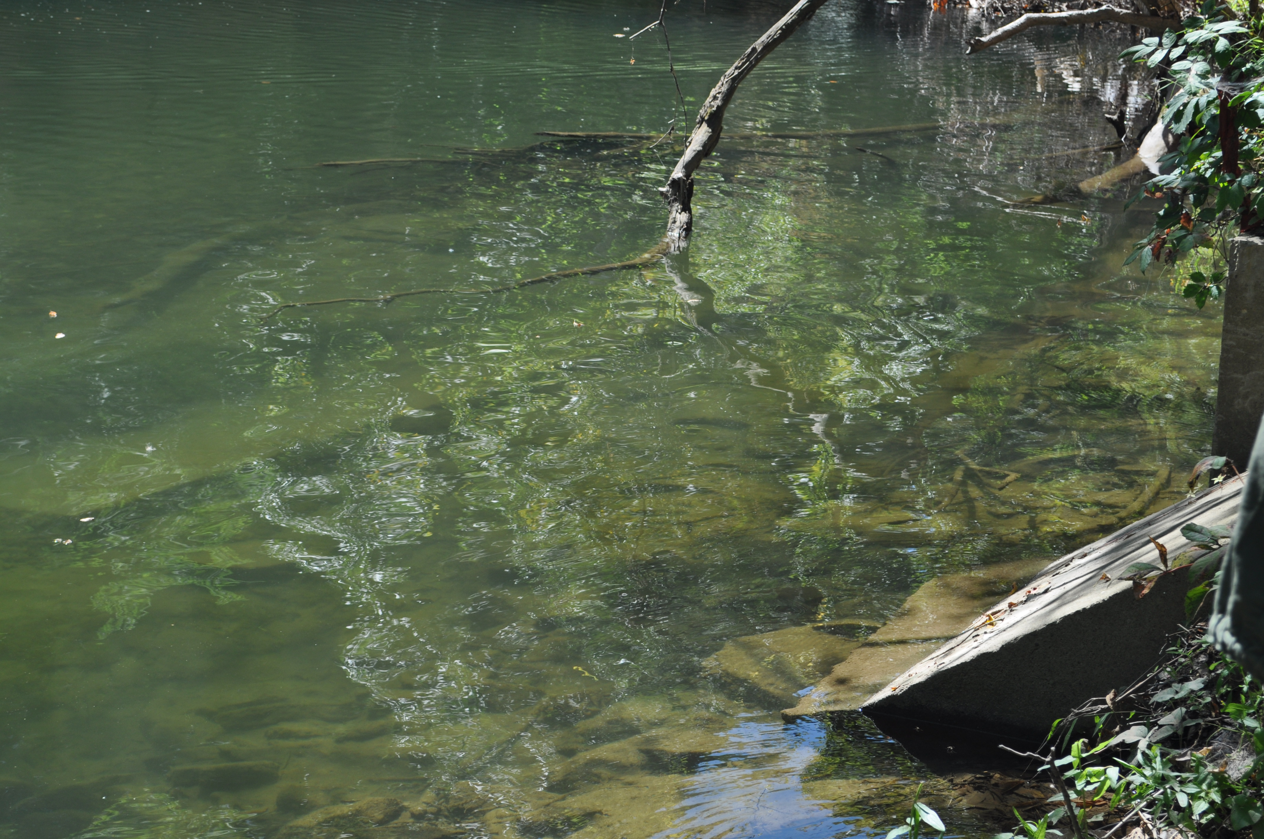
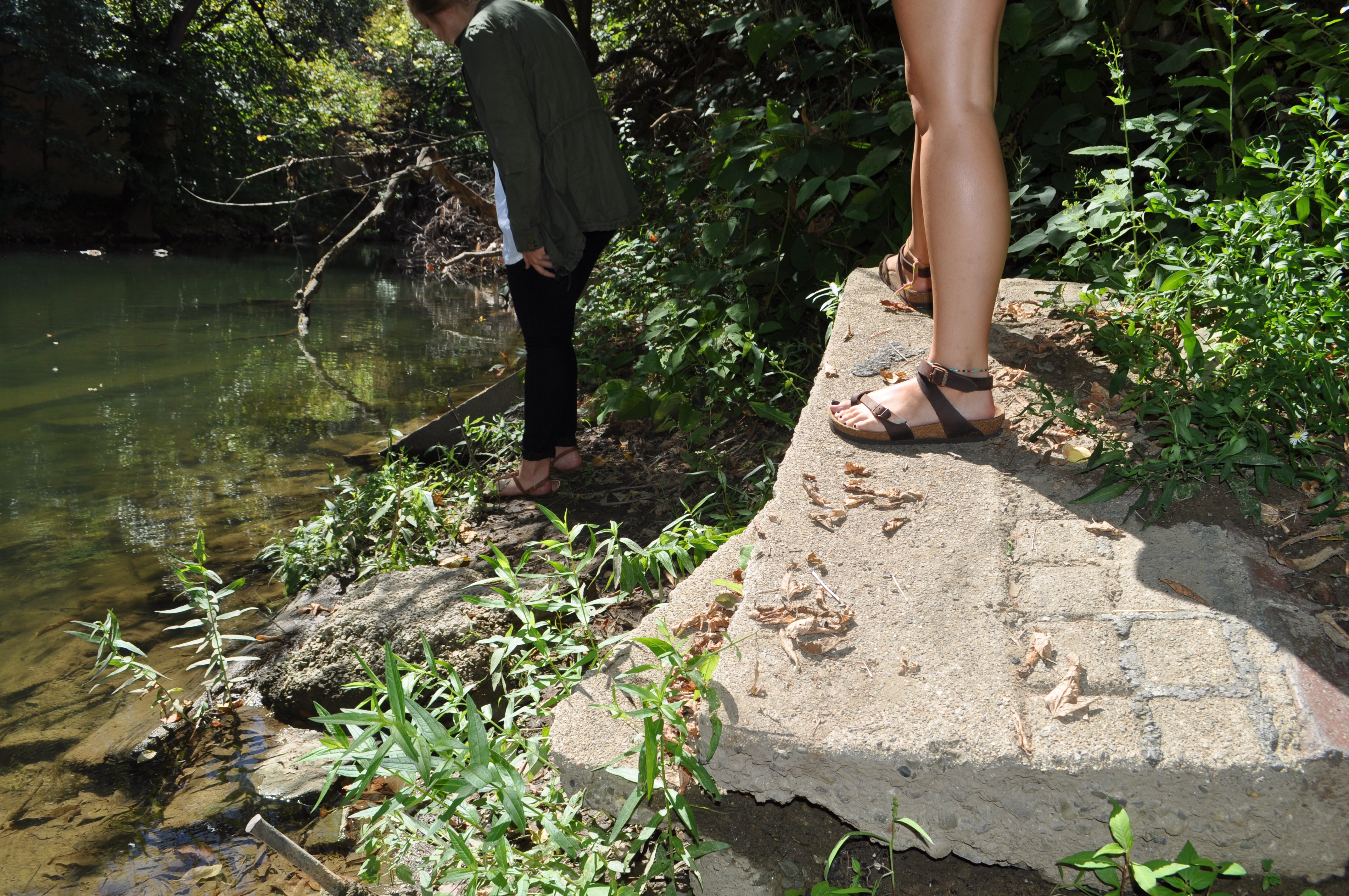
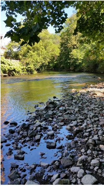
 This piece of the Bushkill creek has changed immensely from the pictures of yesteryear. The intense and jarring juxtaposition of natural beauty with disrespectful littering is the most noticeable part of this space. The three of us first walked down to the creek from the arts trail parking lot, right to the left of the public works building. A few workers in the building chatted in the distance as we climbed down towards the water’s edge. We immediately noticed the huge blocks of concrete, broken in places, that were in and around the edge of the creek. They’re certainly leftovers from a building or man-made structure that has been since forgotten. This particular part of our site was not as littered as what we discovered further north. As we were crossing the bridge to begin to walk towards the dam, Ginny pointed out a heron. We deduced that its presence could indicate cleaner water than we may have guessed. As we walked along the sidewalk, with fence on one side and Pearl street on the other, Shawn turned around and held up the picture of a postcard of the site with the brewery on the left and Jefferson mountain on the right. Jefferson mountain now is home to a billboard and scraps which were surely thrown out of car windows. It’s also impossible to see the same scene that the postcard shows since a fence and overgrown trees/shrubs cut the scene directly in half. Once we came close to Safe Harbor, Ginny had to leave for class, so Maggie and Shawn continued around the bend and the building with the address 661 Pearl Street. We followed the edge of the road closely, looking down past the shrubs and trees to try to keep the creek in sight. Directly across from an apartment building called the Bushkill House, we found a small opening in the brush. We started to see litter trailing down a steep, yet still navigable path down to the creek. We climbed/slid down the path, holding on to tree roots on the way down where we found the real meat of this site. Littered with aerosol cans, beer bottles, chip wrappers, gatorade bottles, and all other evidence of human occupation was this fairly large stretch of rocky shore on the west side of the creek. We walked on the rocks up to the dam and back noticing pieces of broken, old-seeming pottery, shells, even more refuse, and yet, a ton of potential. This area is surely a hidden treasure. It wasn’t nearly that difficult to mentally strip the plastic and paper from the scene and picture a clean, natural, beautiful space emerging from under the garbage. We even noticed that above the dam ducks swam, the sun hit the water in a glistening fashion, and not a piece of trash was evident.
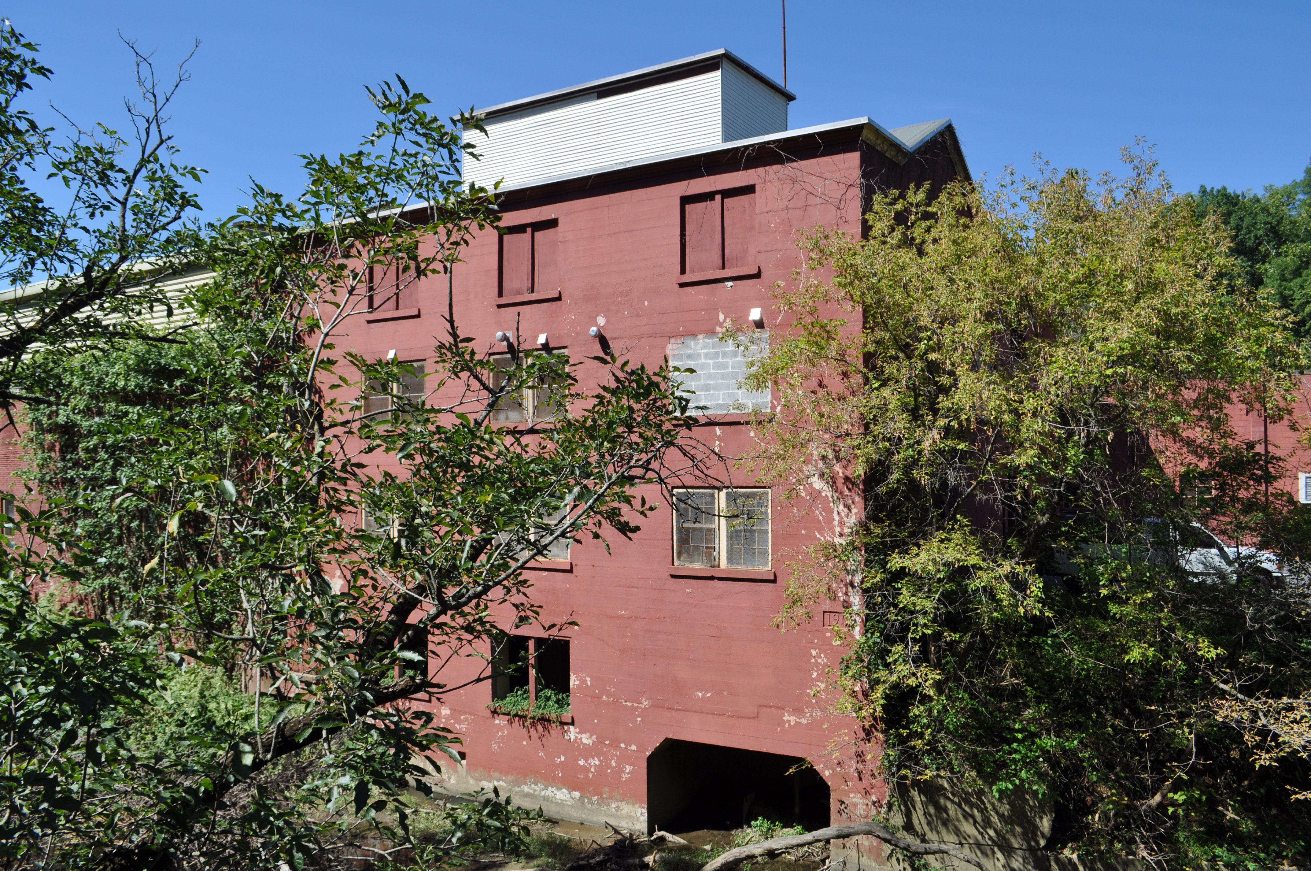
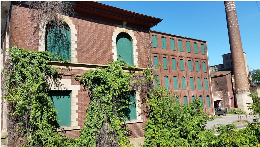
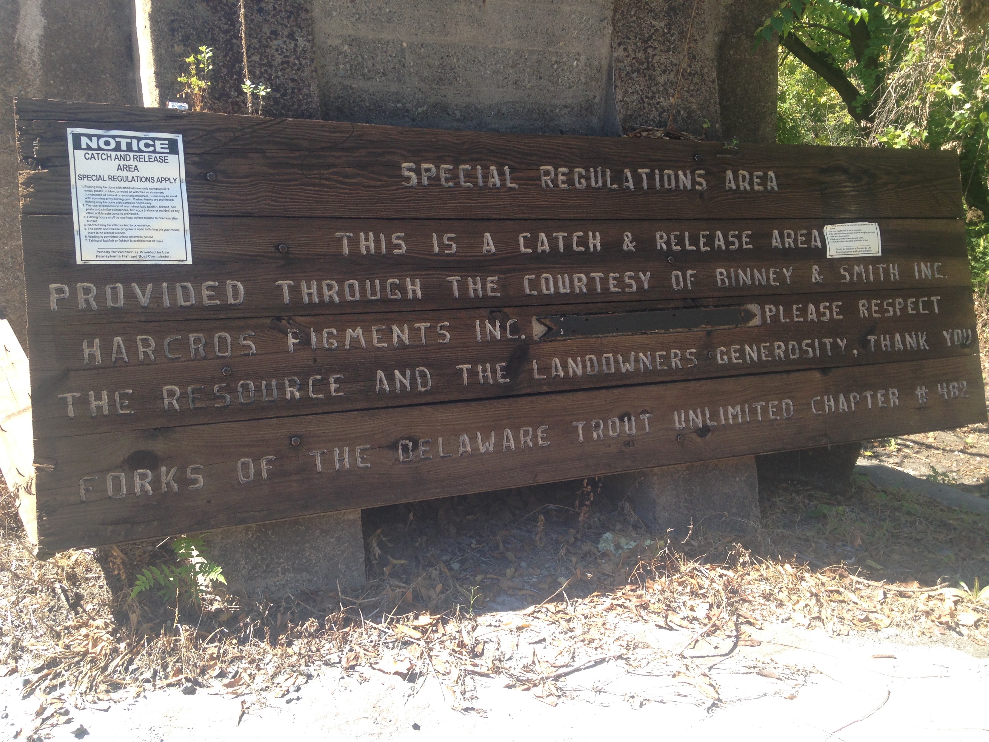
Another observation noted by our group while exploring the area was the state and modification of one of the buildings represented in old photos still present in the area. We believe this building to be the mill. The building appears to be in fairly good shape as it is still used for the public service workers facility, but while scanning the building we took note of how this structure that once utilized the Bushkill system no longer did and imagined how it might have functioned. There was a strange arch carved into the foundation of this building along the Bushkill and we began to imagine the mill’s water wheel in this abandoned nook. We took note of a pulley at the apex of the roof that must have been used to drag things up to higher floors. We considered the mill pond present in photos, and its absence in this place today. This place provoked our curiosity as we wondered how its interaction with the Bushkill has changed with time.
For further investigation, we would definitely like to get a kayak or if wadeable some waders on this part of the creek to be able to get closer to some of the less accessible parts. We figure that since the shore is right behind Safe Harbor, there’s a good chance this space is used as a hangout for homeless people so we would also like to look into that further and potentially include that in this story. Additionally, we would like to take part in shaping the future of this place by cleaning it up. It is an absolutely beautiful space which would thrive even more if it weren’t covered in garbage.


