DomestiCATed

In class today Professor Brandes brought up pets in nature. I have a cat named Sam and he loves the outdoors more than anything. As soon as my mom gets home from work she lets him outside. If she doesn’t let him out right away, he will cry and scratch at the front or back door until he gets let out. He will venture back in around seven to eat dinner, but will go back out until my mom calls him in around ten. Sam lives a pretty comfortable kitty life indoors. He however would prefer to be outside every day, playing in our gardens and chasing chipmunks.

Hummingbird

IMG_4475

Walking back from class the other day I looked down and saw this hummingbird on the sidewalk. Seeing this bird dead on the sidewalk sparked an interesting conversation between my friend Alex, a fellow bird enthusiast, and I. Hummingbirds are interesting birds. They have one of the highest metabolisms out of all animal and have to be constantly eating in order not to die. Hummingbirds eat so much yet they are always only hours away from death if they do not eat. They can often die out of exhaustion, when they are not in their hibernation state called torpor. Alex and I wondered if this bird died because of a lack of food or if it rammed into the windows of Hugel. Hummingbirds are extremely intelligent birds therefore the food option seemed most likely.

This got me thinking of the habitability of our campus for hummingbirds or animals in general. We have a lot of green on campus, our trees and lawns, yet I feel that there needs to be more flowers and gardens. At home the National Wildlife Federation recognized us as a “Backyard Habitat” for transforming our yard into a habitat for butterflies, bees, birds, and insects. The steps are not hard nor tedious and are clearly laid out on the Federations website:  nwf.org.

I wonder if there was any way we could start an initiative to make our campus more habitable for animals, especially the pollinating birds and insects.

Morning Glory

I live in an off campus house with two of my closest friends, Camila and Kannie. Every morning when we leave there is a beautiful Morning Glory Vine that wraps around our front porch. Most morning glory flowers unravel into full bloom in the early morning. The flowers usually start to fade a few hours before the “petals” start showing visible curling. By the time we come back from our afternoon classes, the flowers have faded. The petals fall off and collect on our front porch. This magical vine overtakes the man-made structure that is our house.

FullSizeRender

(taken on an iPhone 6)

Story of Place with Bethany, Erik and Tessa


When we returned to our spot this week as our second visit, we all felt more comfortable. Part of that we attributed to having been here before and knowing what to expect. We were all surprised by how little seemed to have changed in the week between our visits. The biggest difference we observed was the weather and how it seemed a bit less friendly on an overcast day than when the sun is out in full force. The water level ran at about the same height, having not had any rain in the past week. We did encounter the same man up by the road. He was standing in the same place and was, oddly enough, changing his shirt, the same action we witnessed last week. We saw him as we drove by but by the time we had parked and come back, he was gone. If he is there during our next visit, we hope to have a conversation with him and find out what he does at the corner.DSC_0108 DSC_0110 There is lots of litter here. It is probably a combination of what has been washed up on shore from deposition further up the river and litter from people who may come here to hang out.DSC_0112 The campsite of a homeless person was still there, although with a few modifications. We noticed that the target had been removed so we know that someone is living there now and it’s not from a long time ago.DSC_0114 Underneath the bridge that we cross over to reach our spot.

DSC_0116 A few shots of the two rivers meeting. The island is  visible to the right, as well as the remains of the dam, where the white water flows.

DSC_0127 DSC_0128The whiter rocks are the same rocks that are submerged in the water, so this area would be underwater if the river was higher.

Story of Place : Ginny, Shawn, Maggie – Supplemental Photos

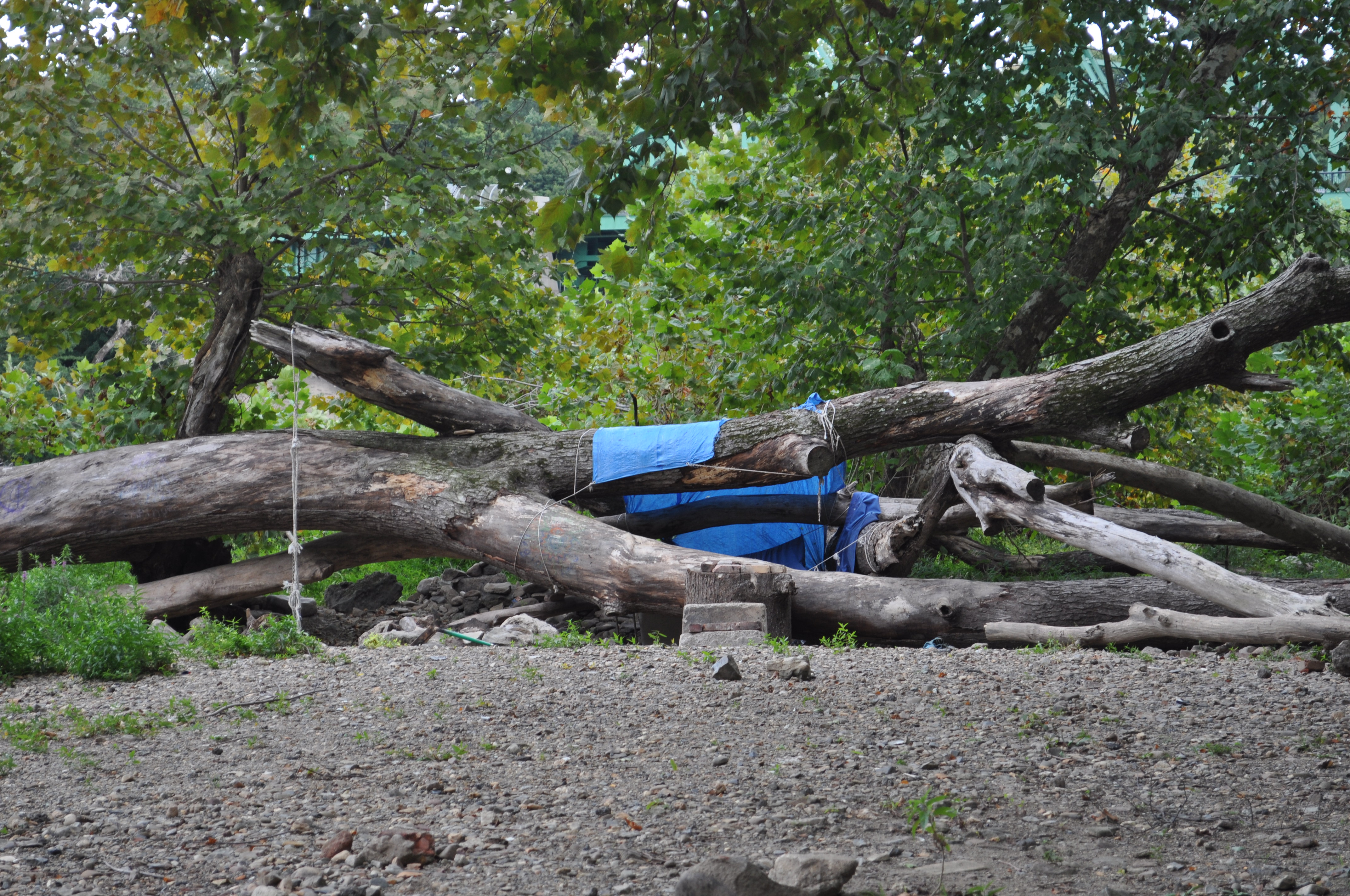
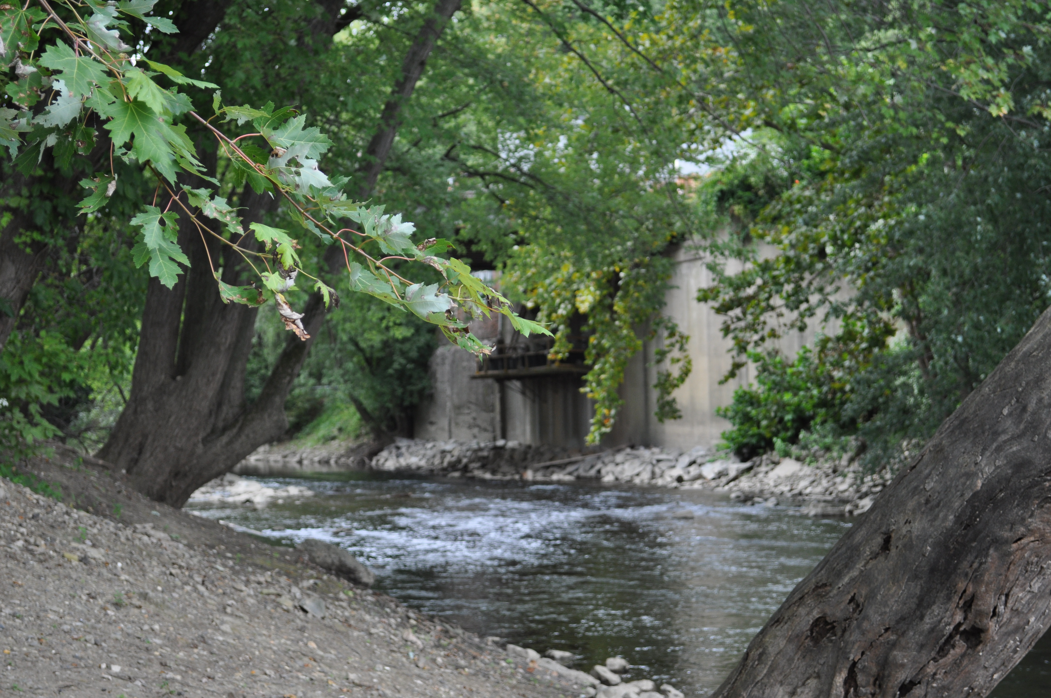
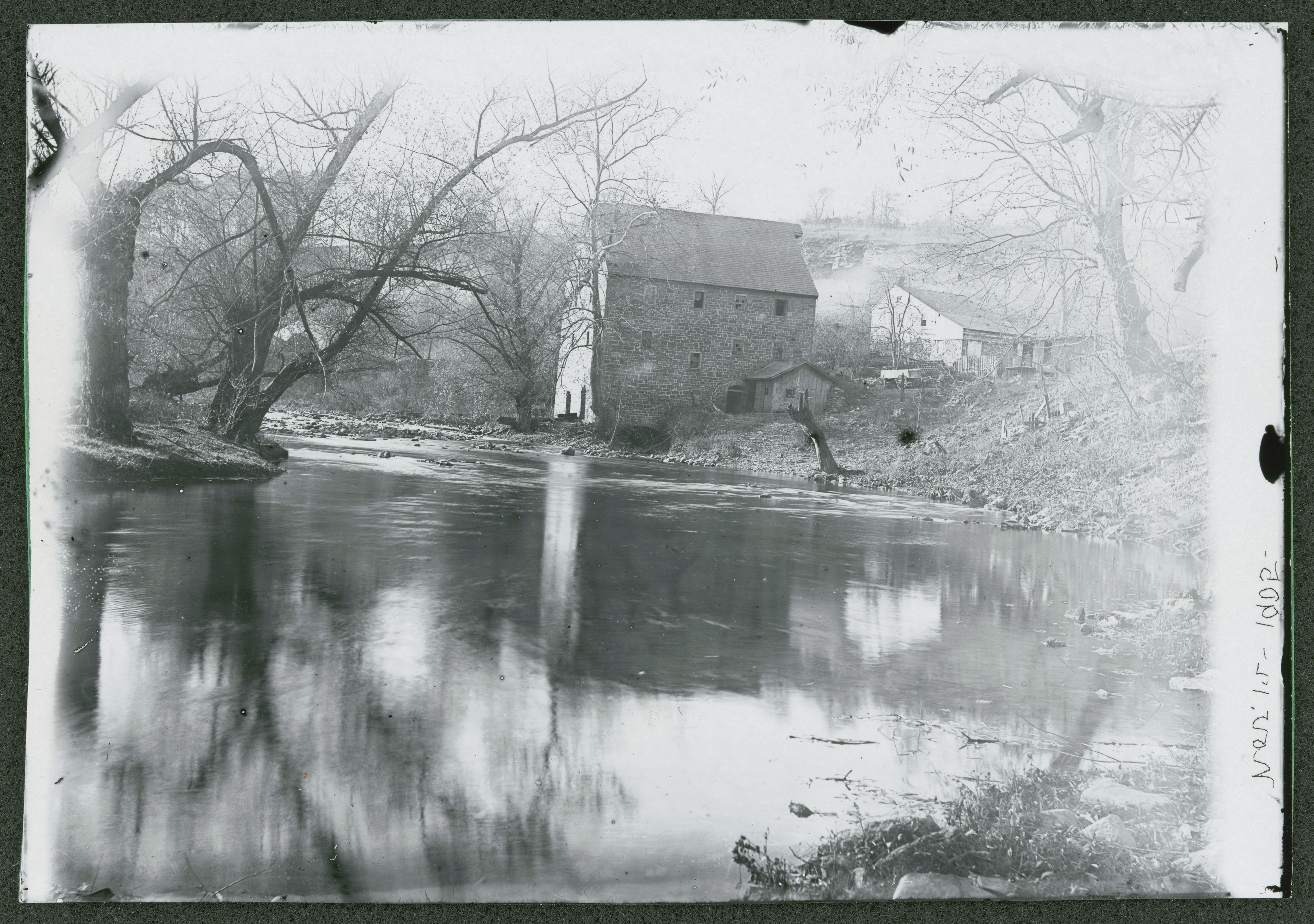
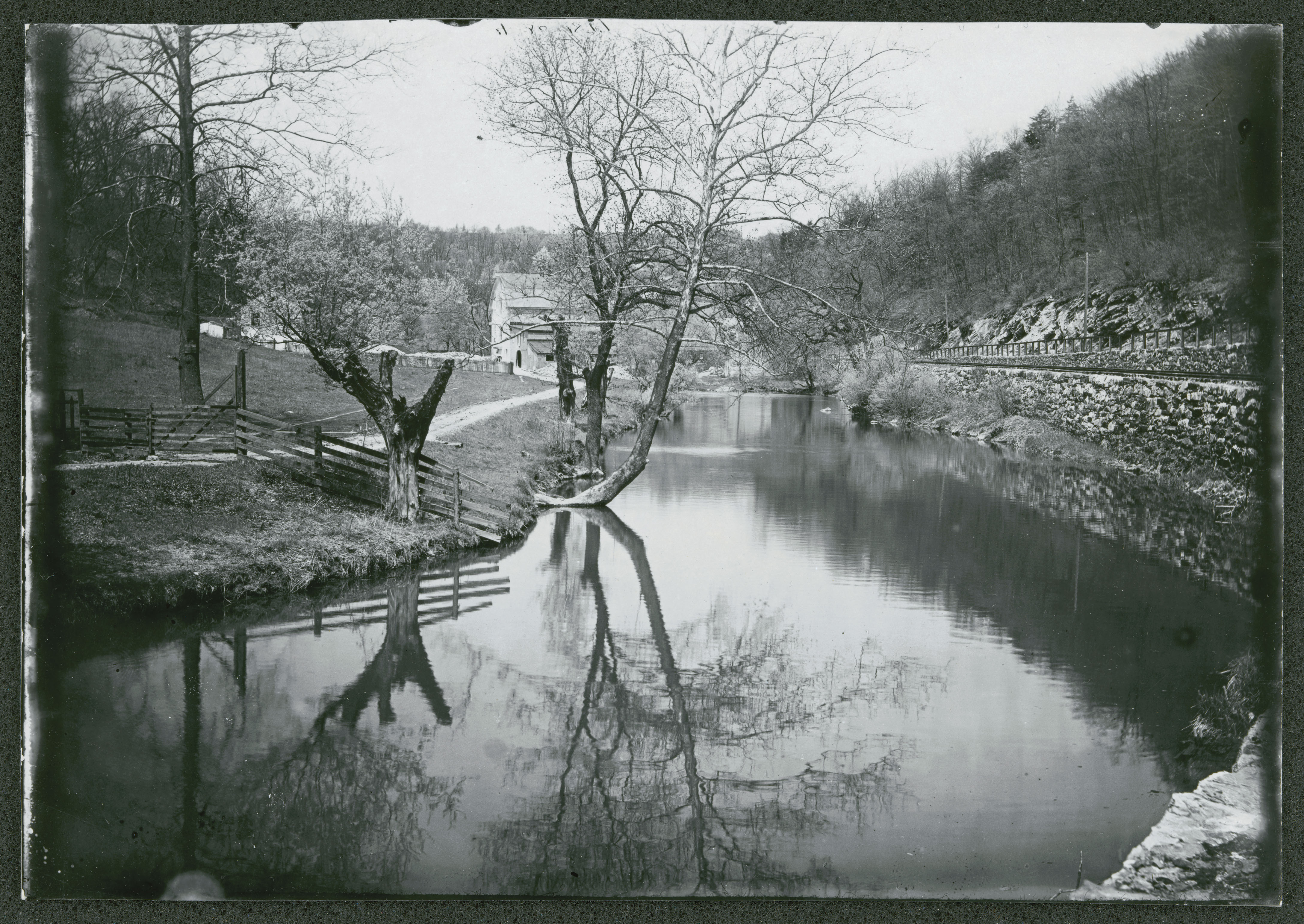
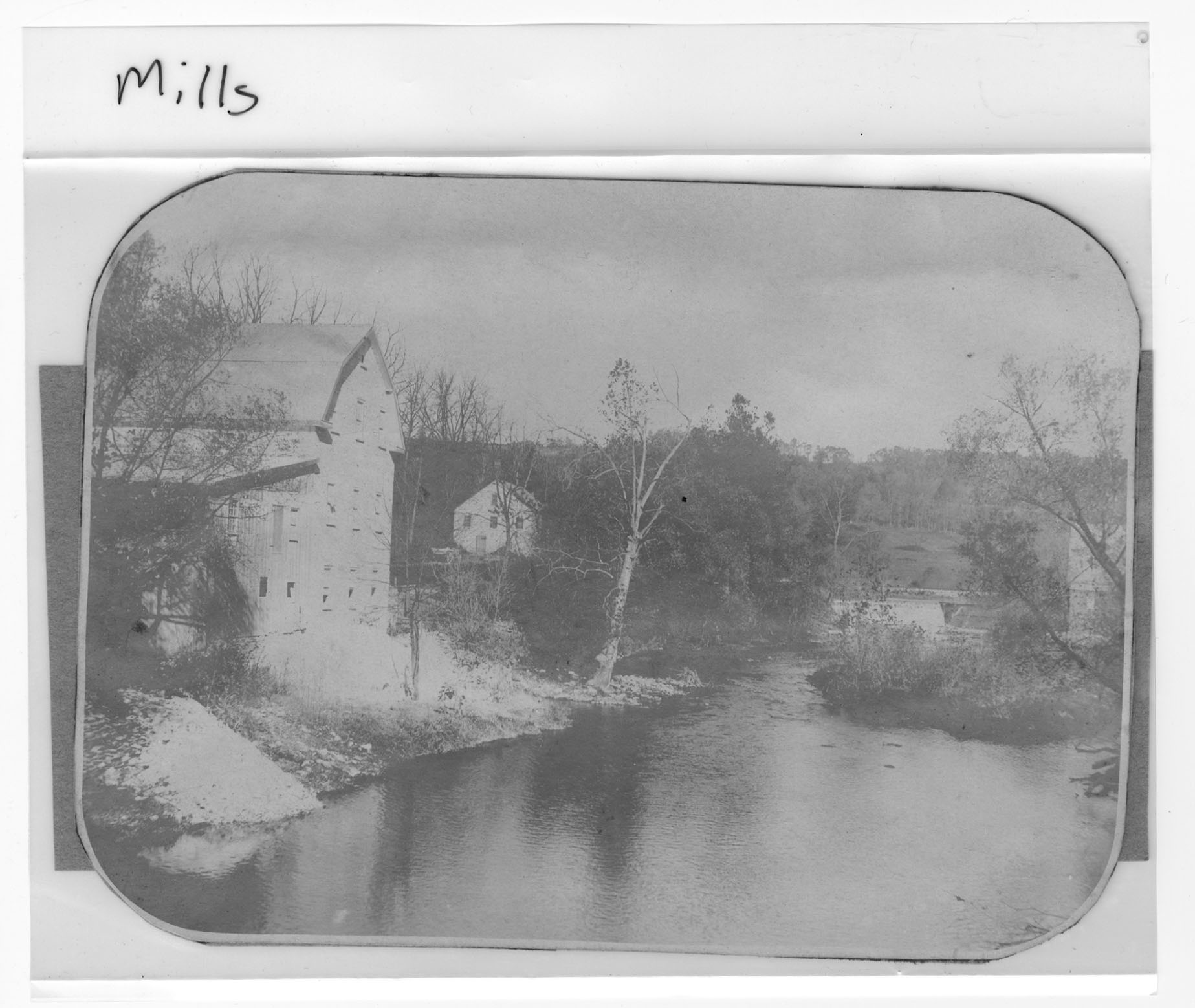
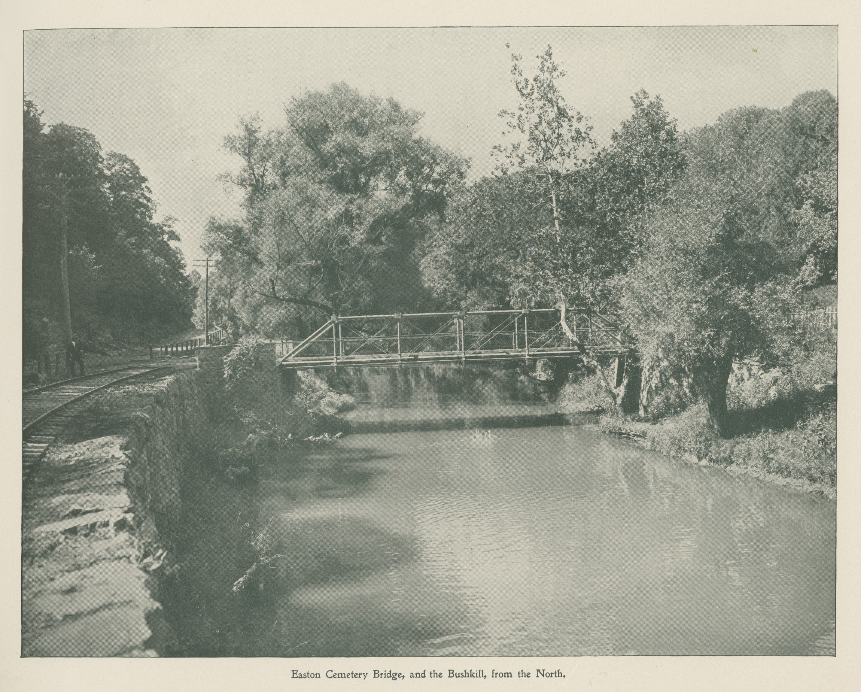
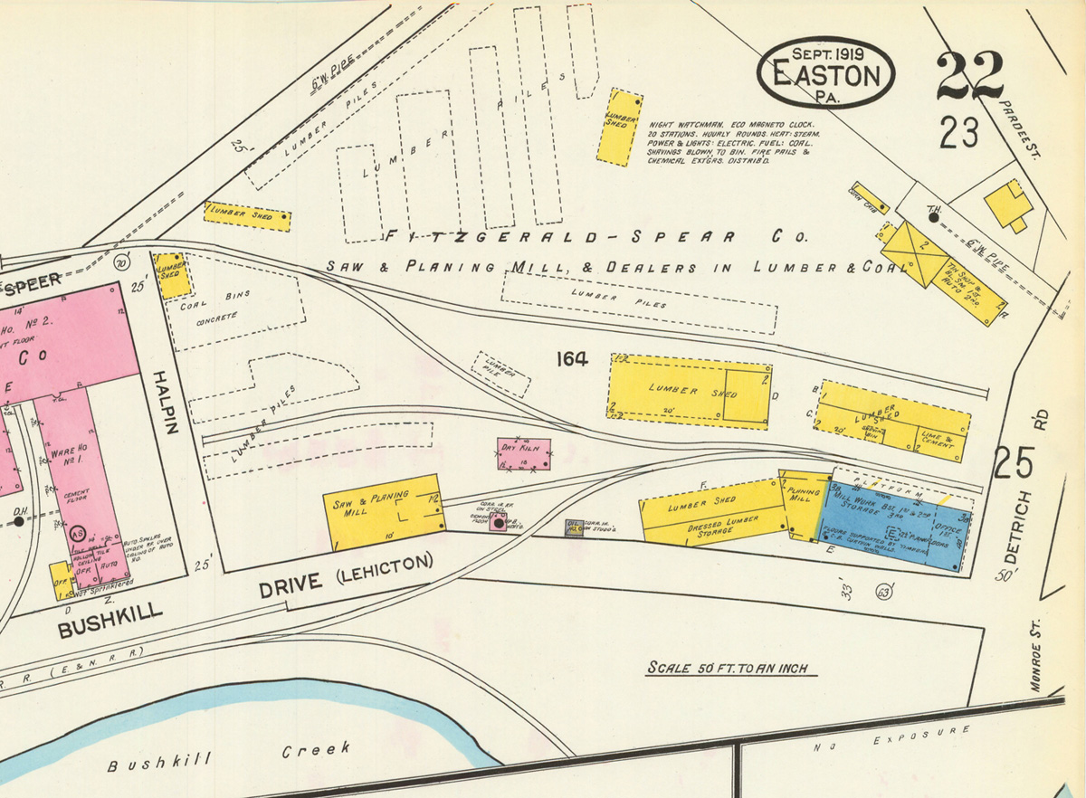
It is possibly hard to imagine why we are all so fascinated with our little Butz Mill river spot without being able to see it for oneself. So here are some photos of our favorite treats so far:

DSC_0902

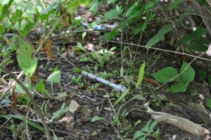
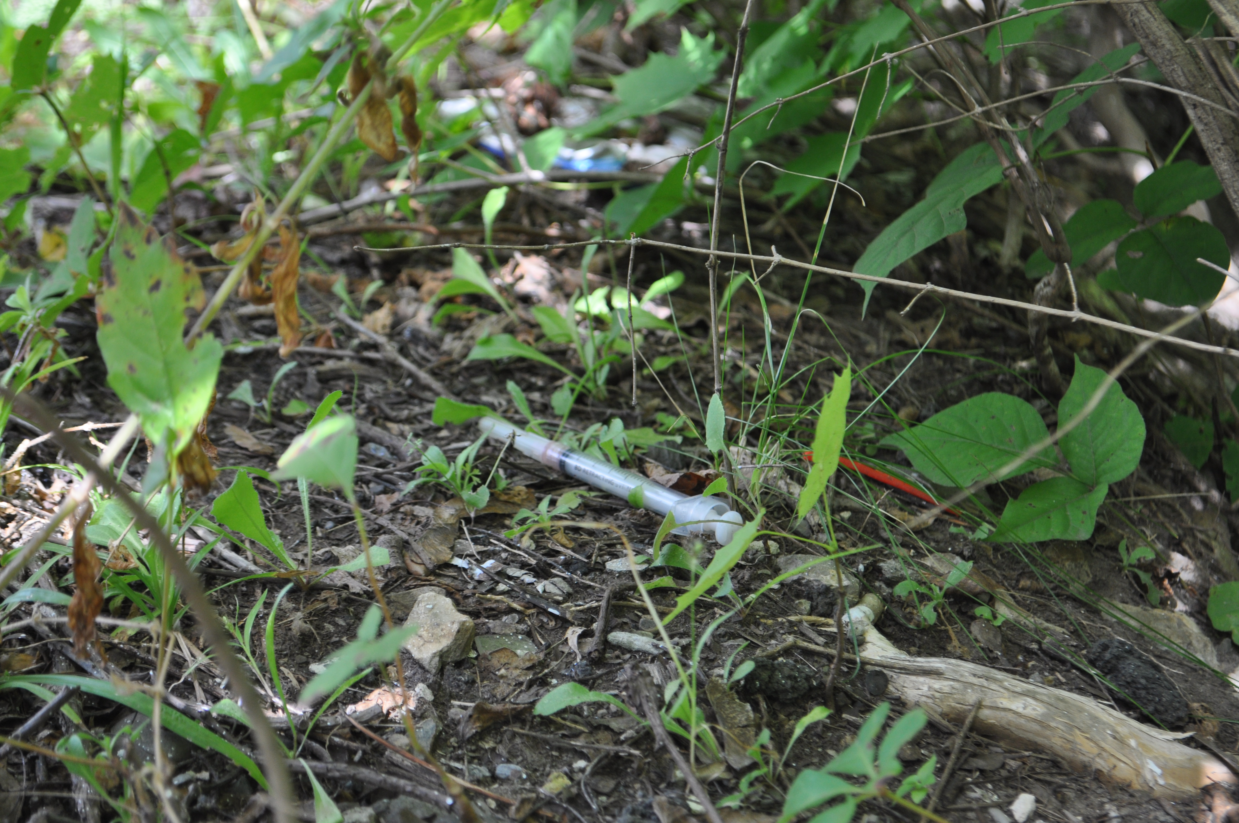
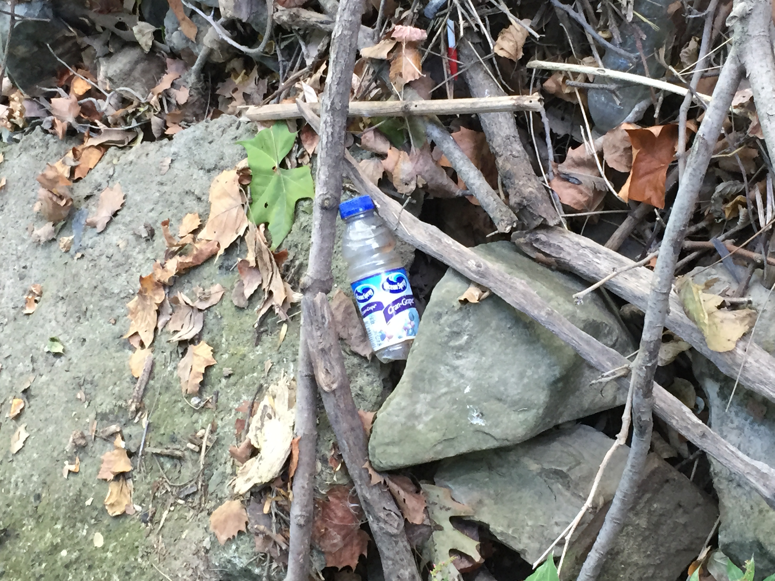
upon arrival of our hillside entry point, we noted a suspicious and alarming needle. we did not find any other needles after the initial sighting but we did notice a number of spoons, leading us to believe more concretely that this is a location frequented by heroin addicts and other drug users.

DSC_0905

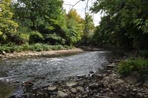
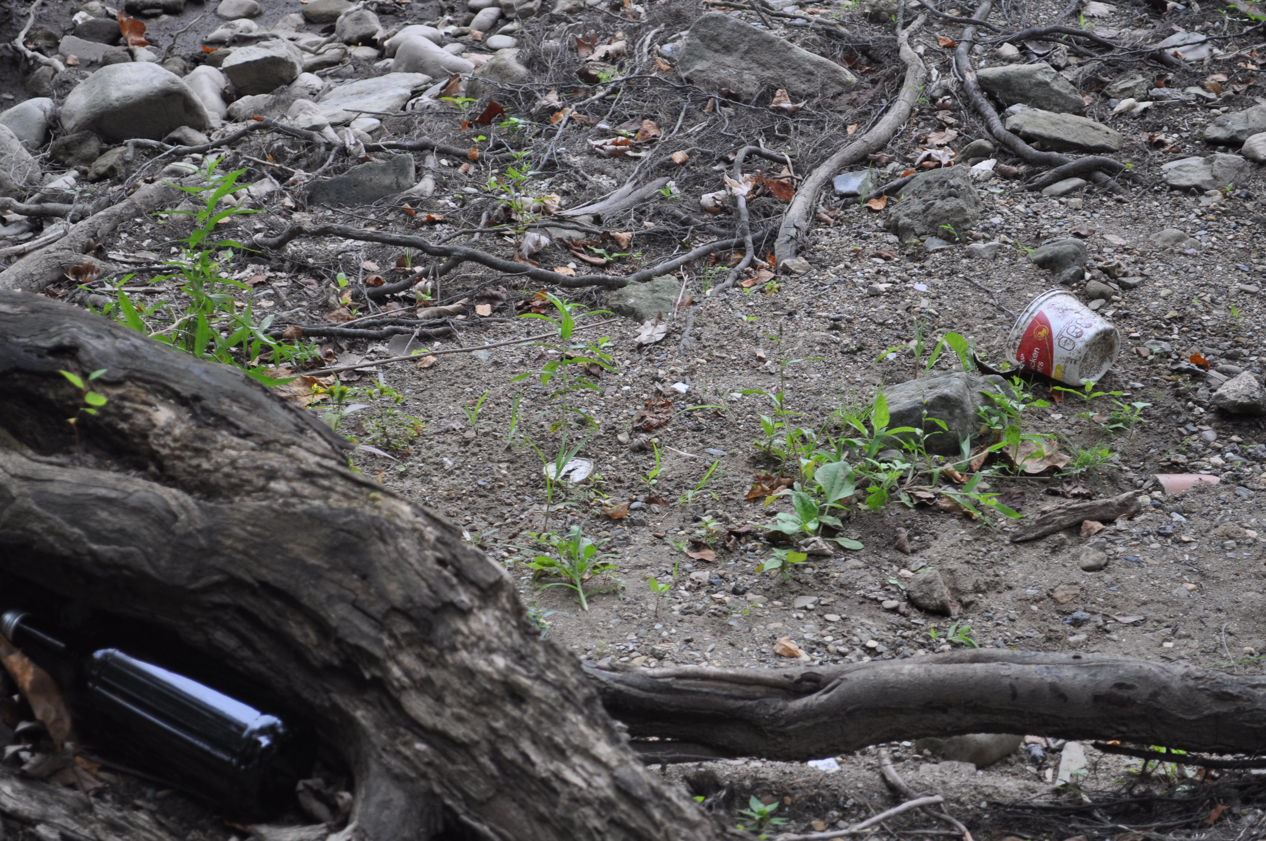
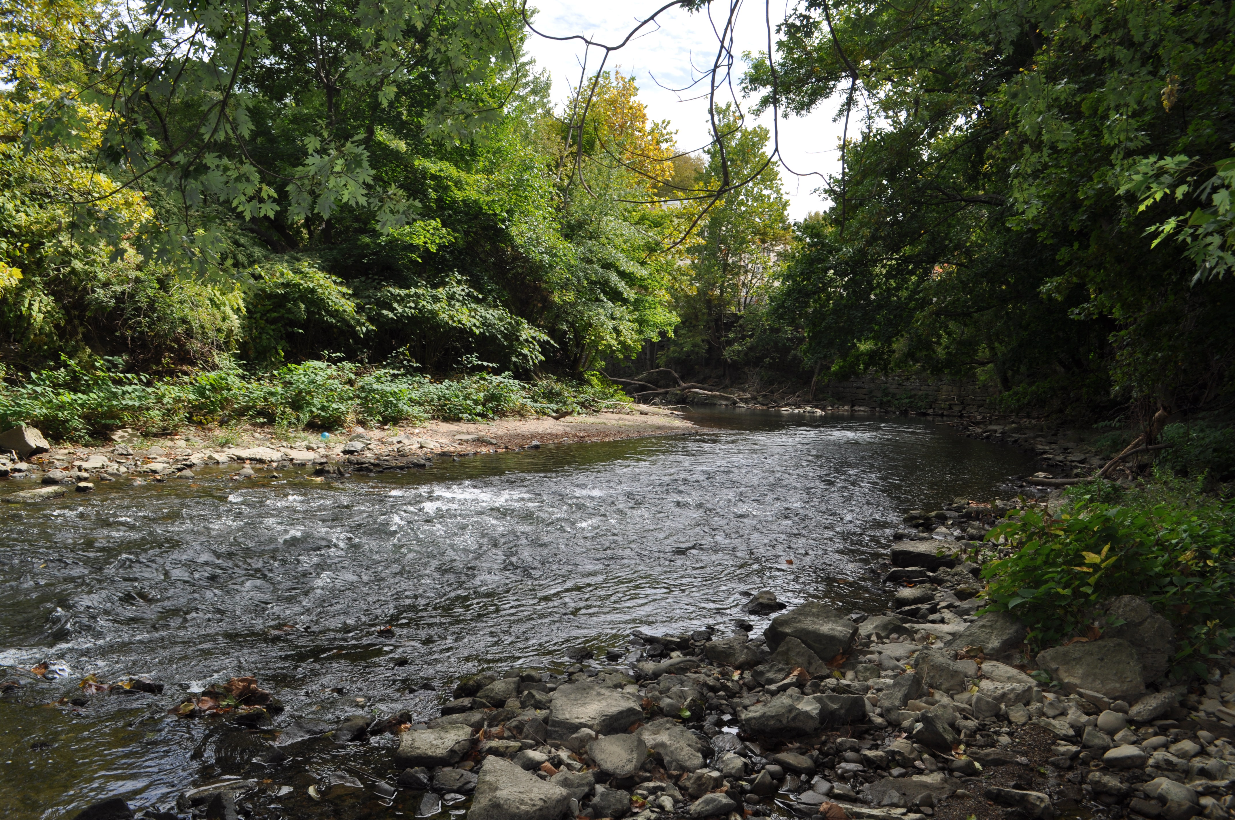
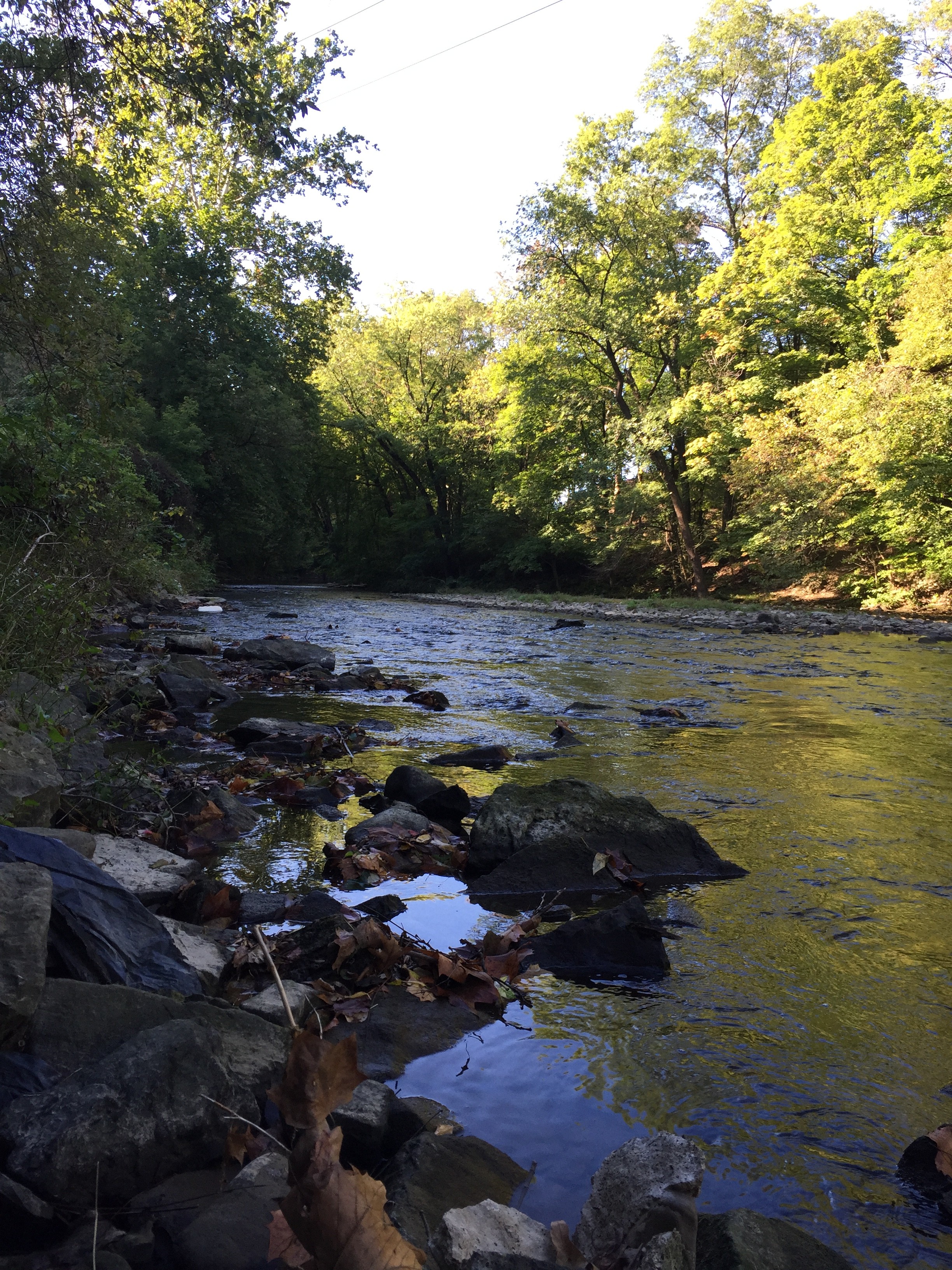
despite the abundant garbage, this place is so lovely.   DSC_0908

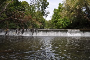
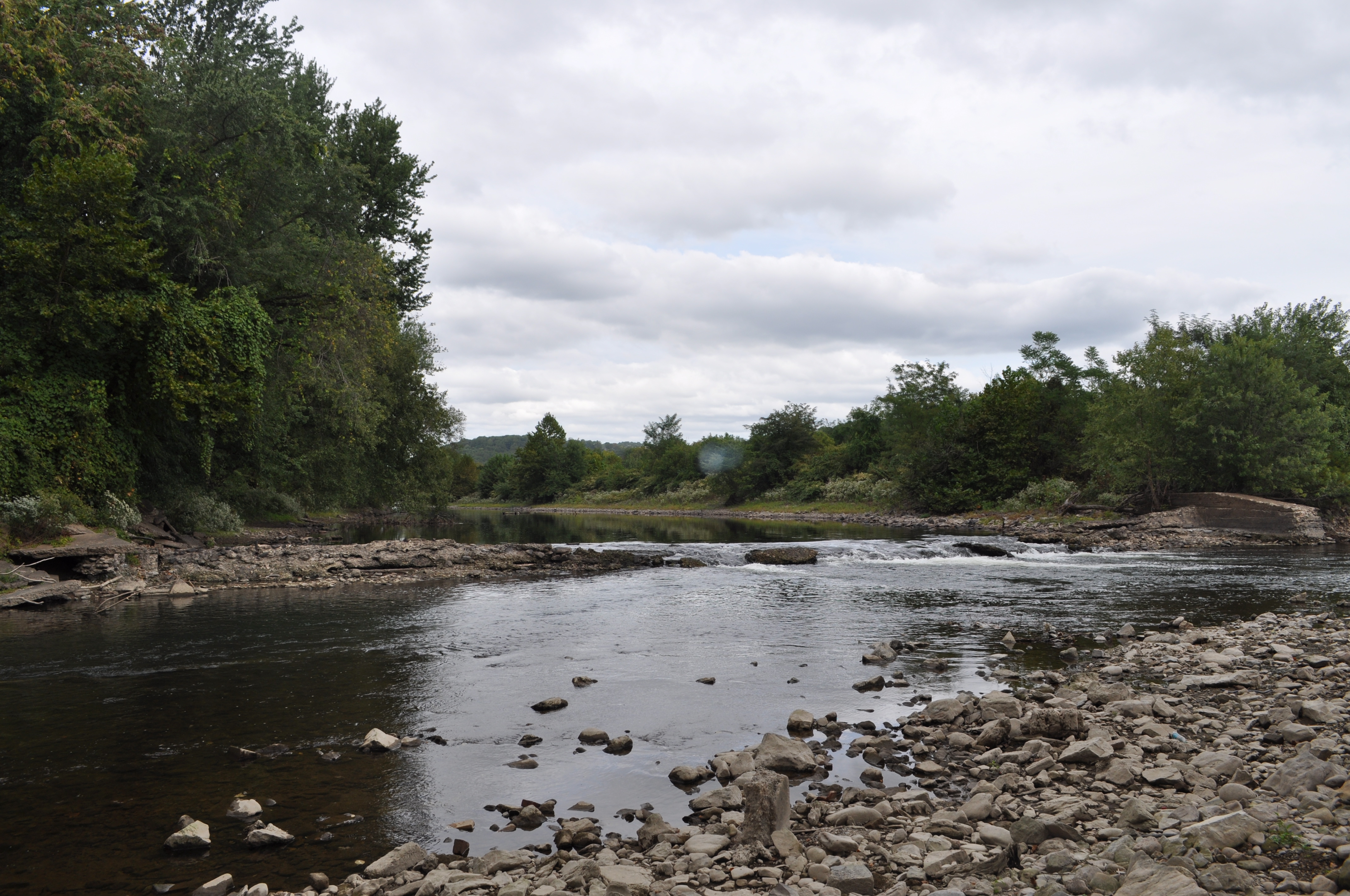
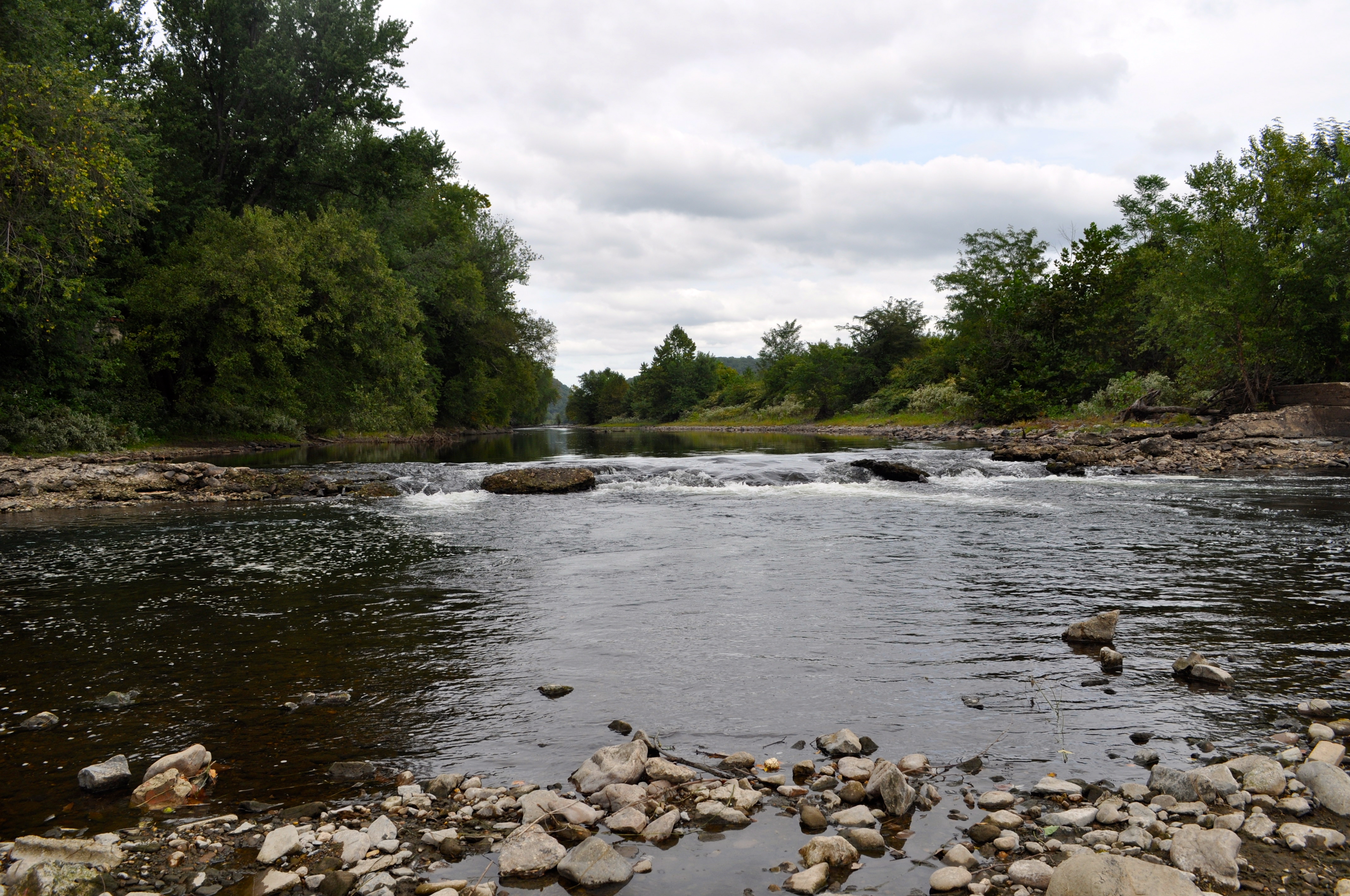
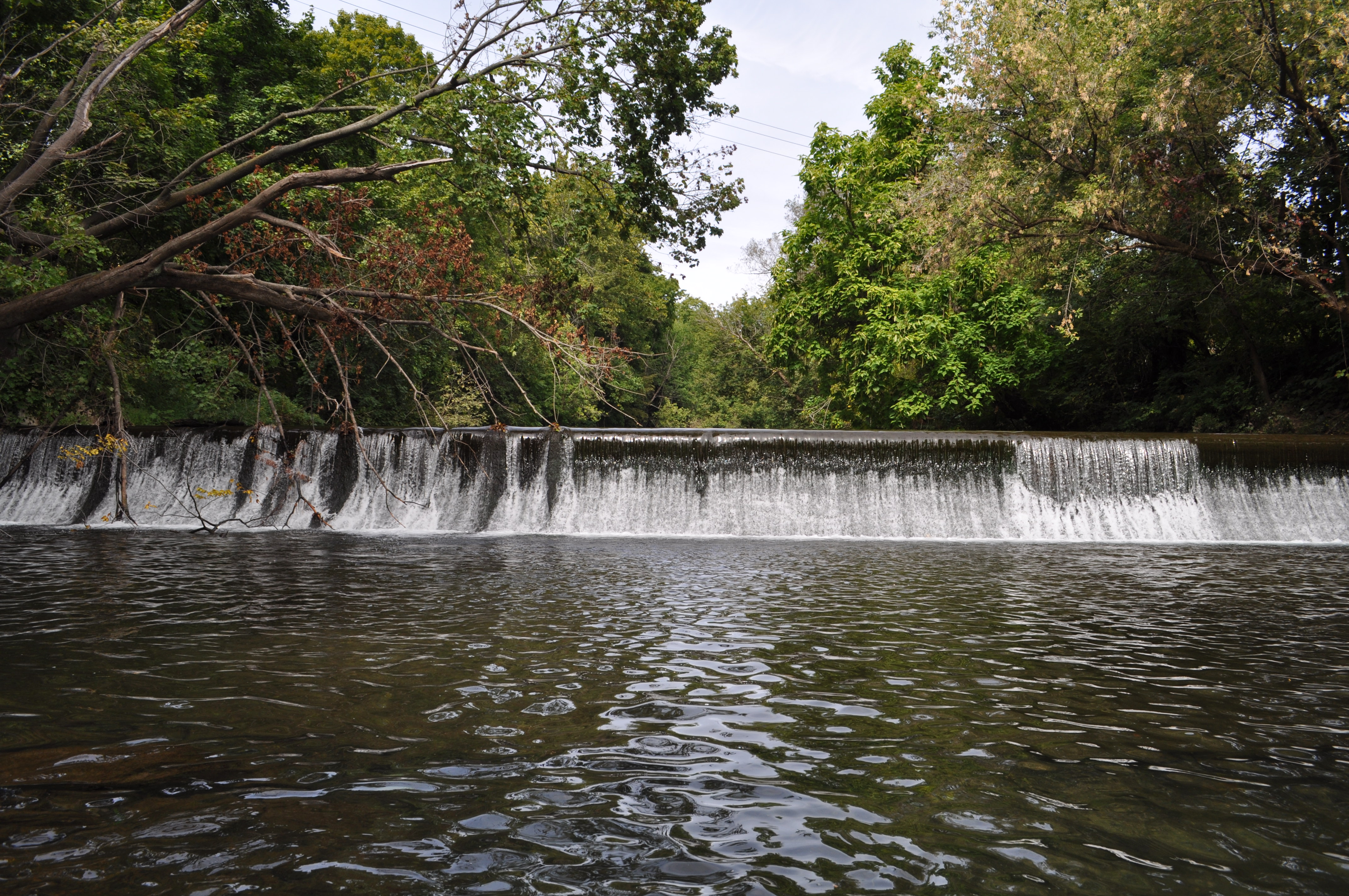
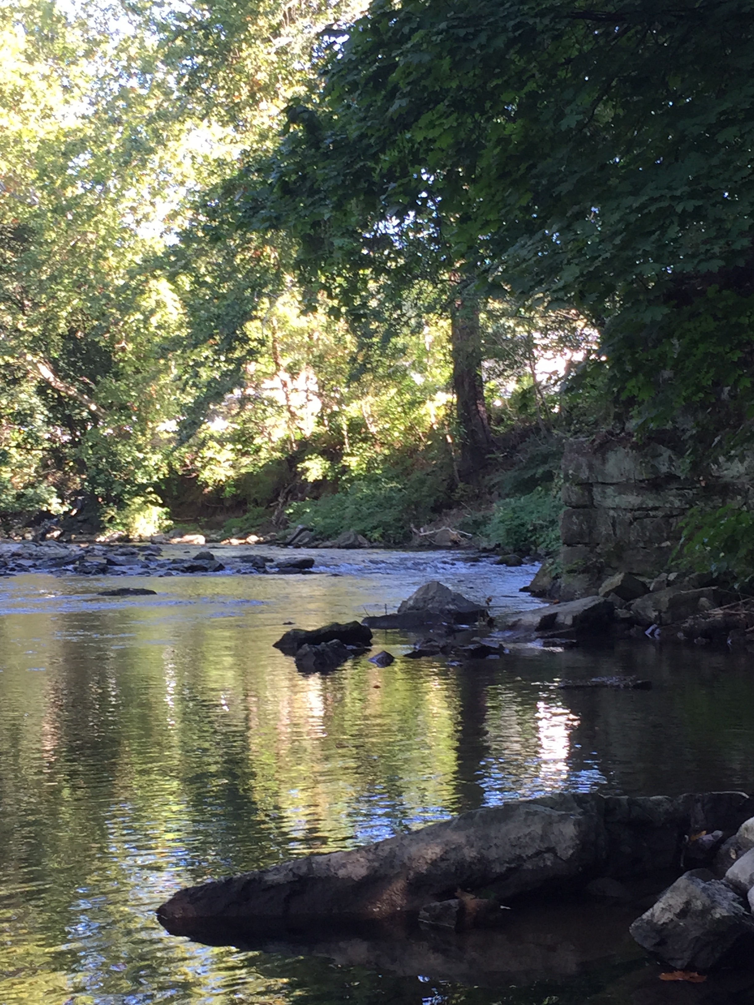
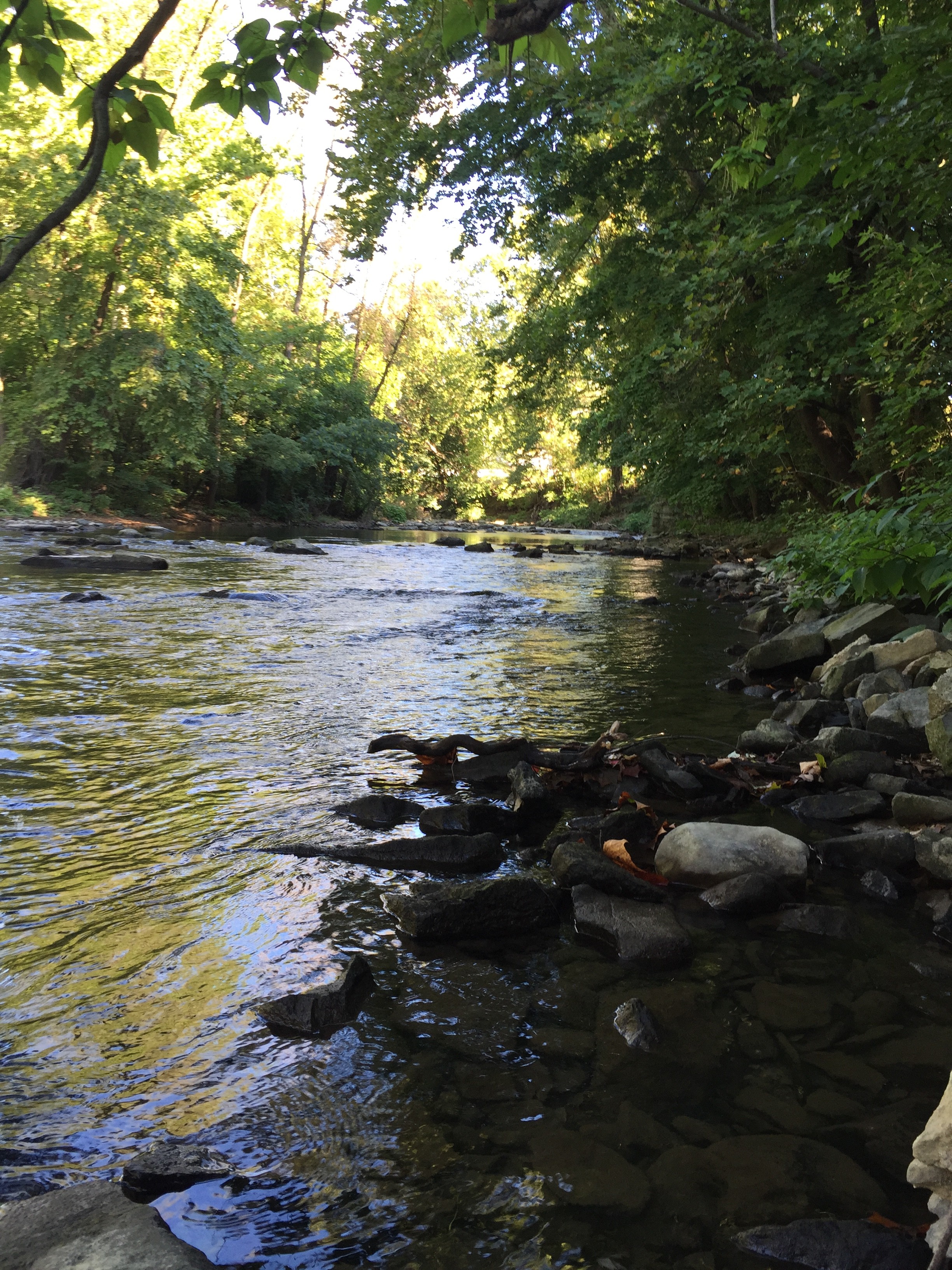
a shot of the whole dam from about halfway across the river (thanks waders).

DSC_0911

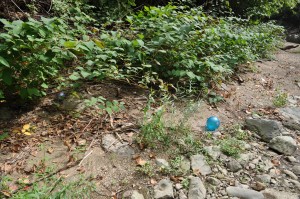
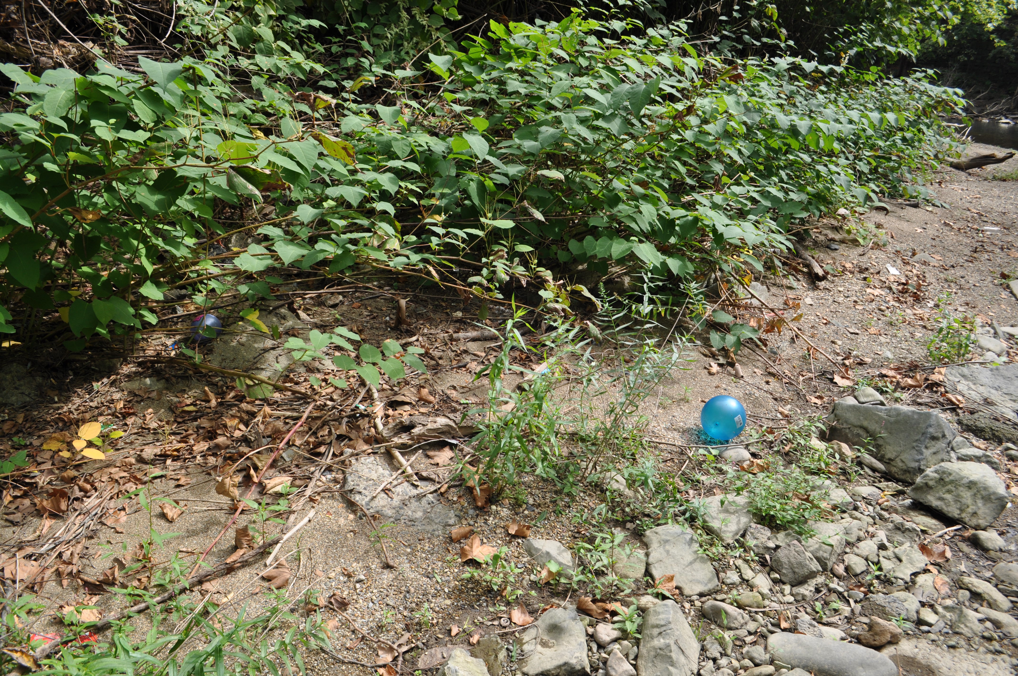
we were intrigued to note some children’s play things on the far shore once we had crossed the creek.

DSC_0915

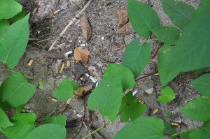
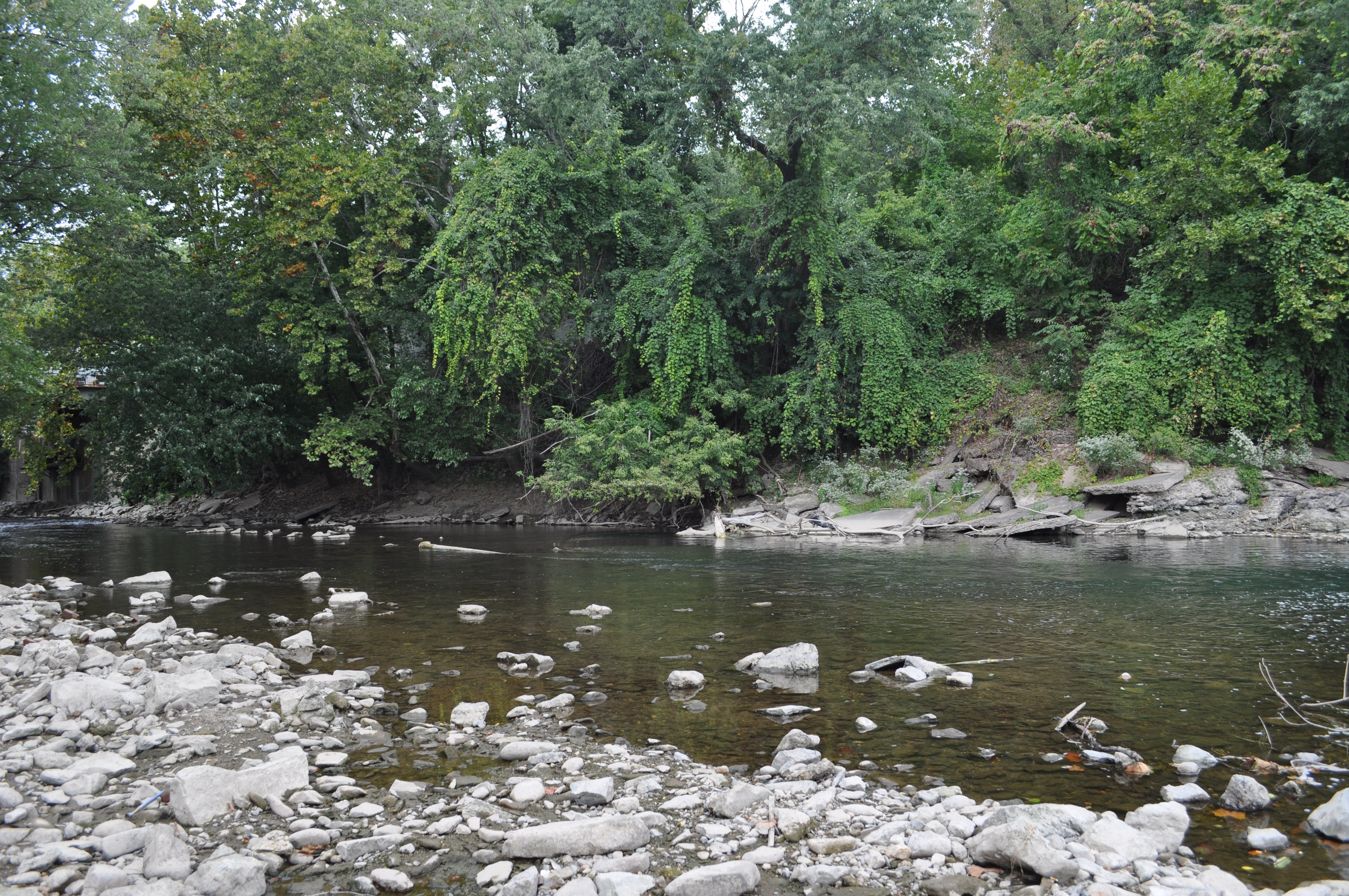
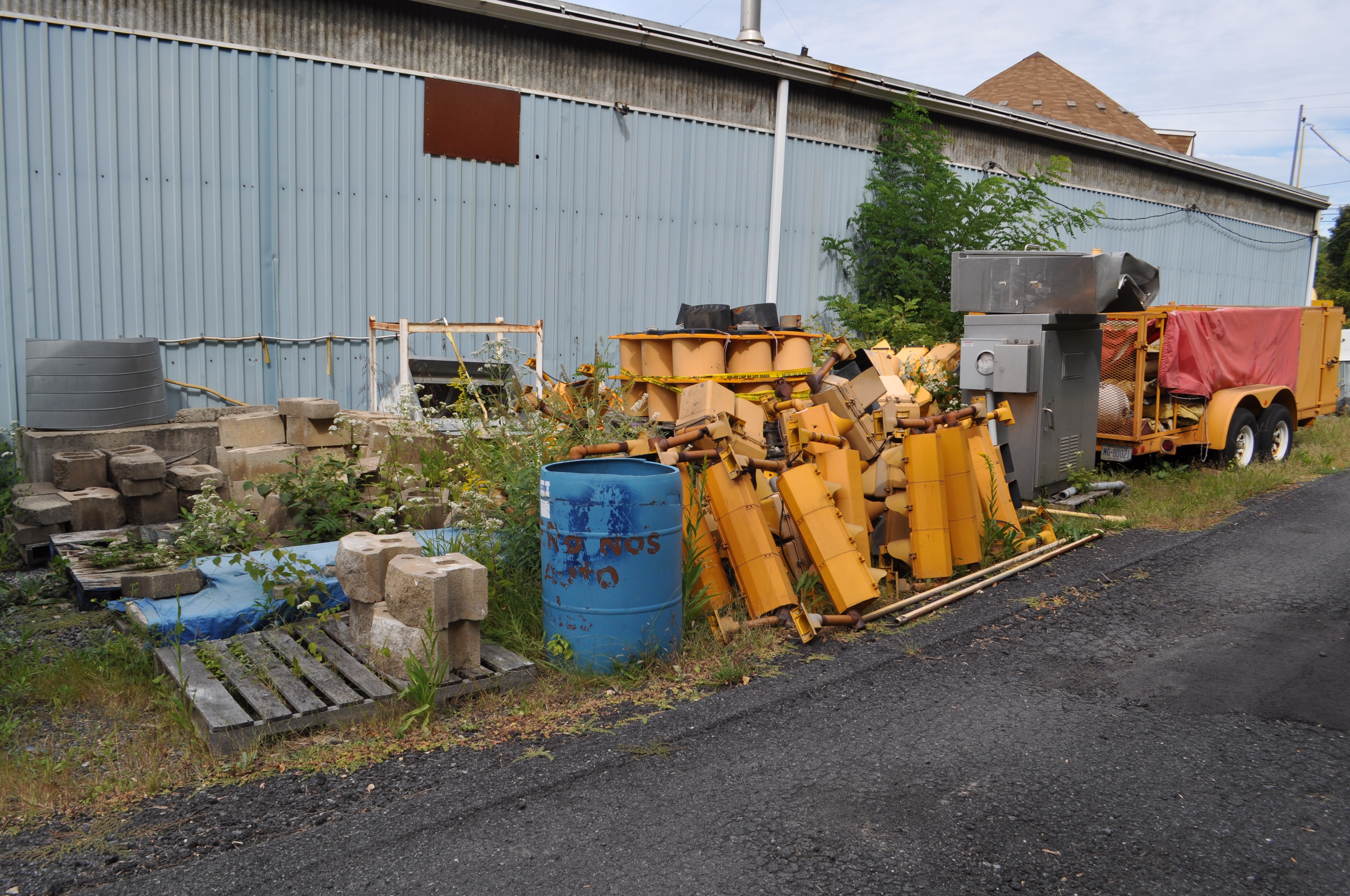
The Easton Public Works building hides just beyond the trees at the lip of the creek, here is a pile of cigarette butts, nearby was an abandoned can of worms and some footprints. Perhaps our lovely little creek hideout is a popular lunch or fishing spot for the workers.   DSC_0919

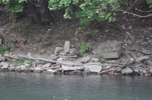
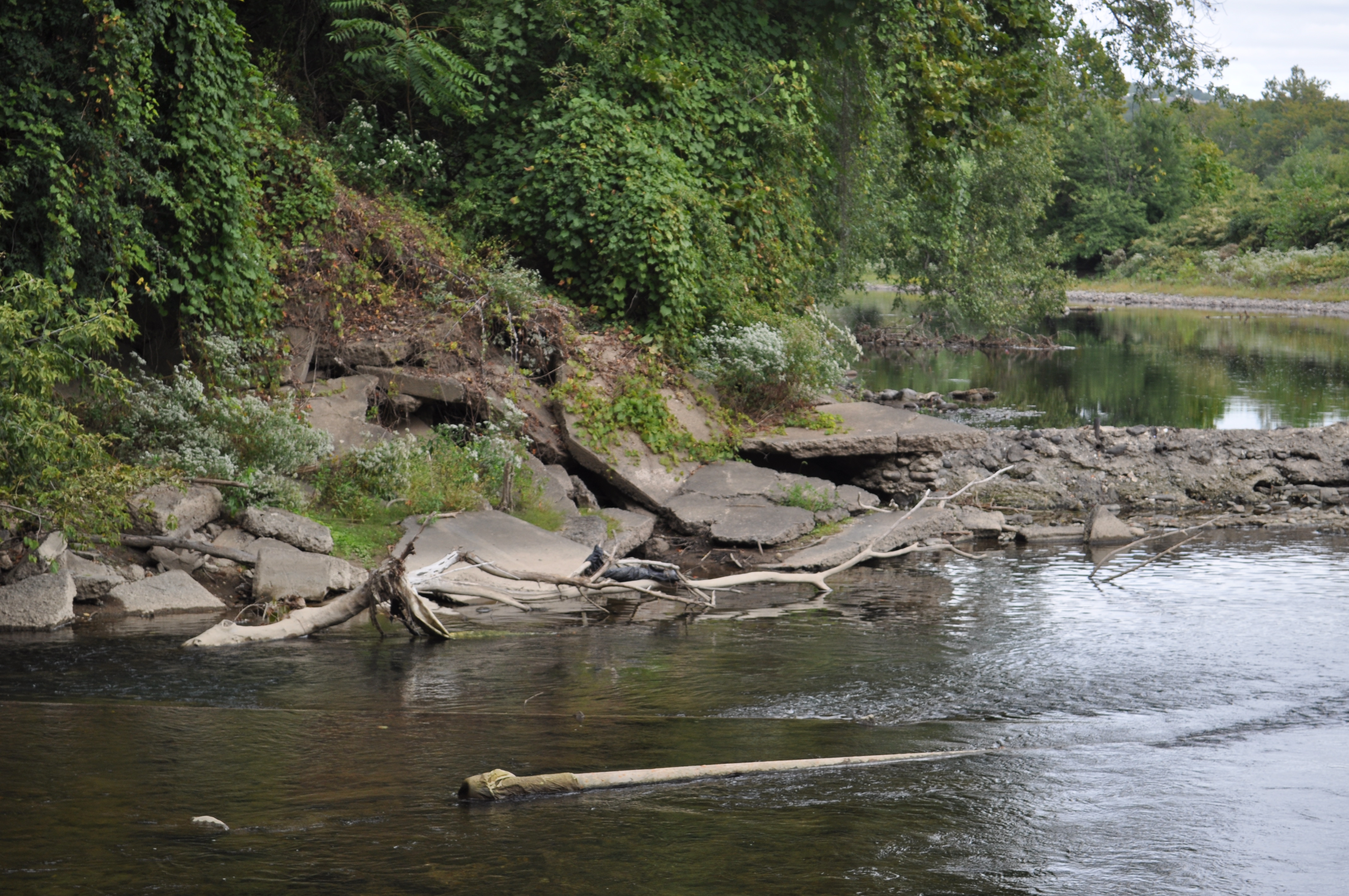
We were very interested in this apparent throne constructed from old stone materials. What was the original use for these stones? And who constructed this current structure? This really began to trigger some of our thoughts about infrastructure and its relation to nature. There is a sort of cyclical use of materials that matches the cyclical nature of an aquatic ecosystem. We will continue to explore these ideas with future findings such as this one.

DSC_0921

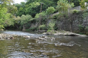
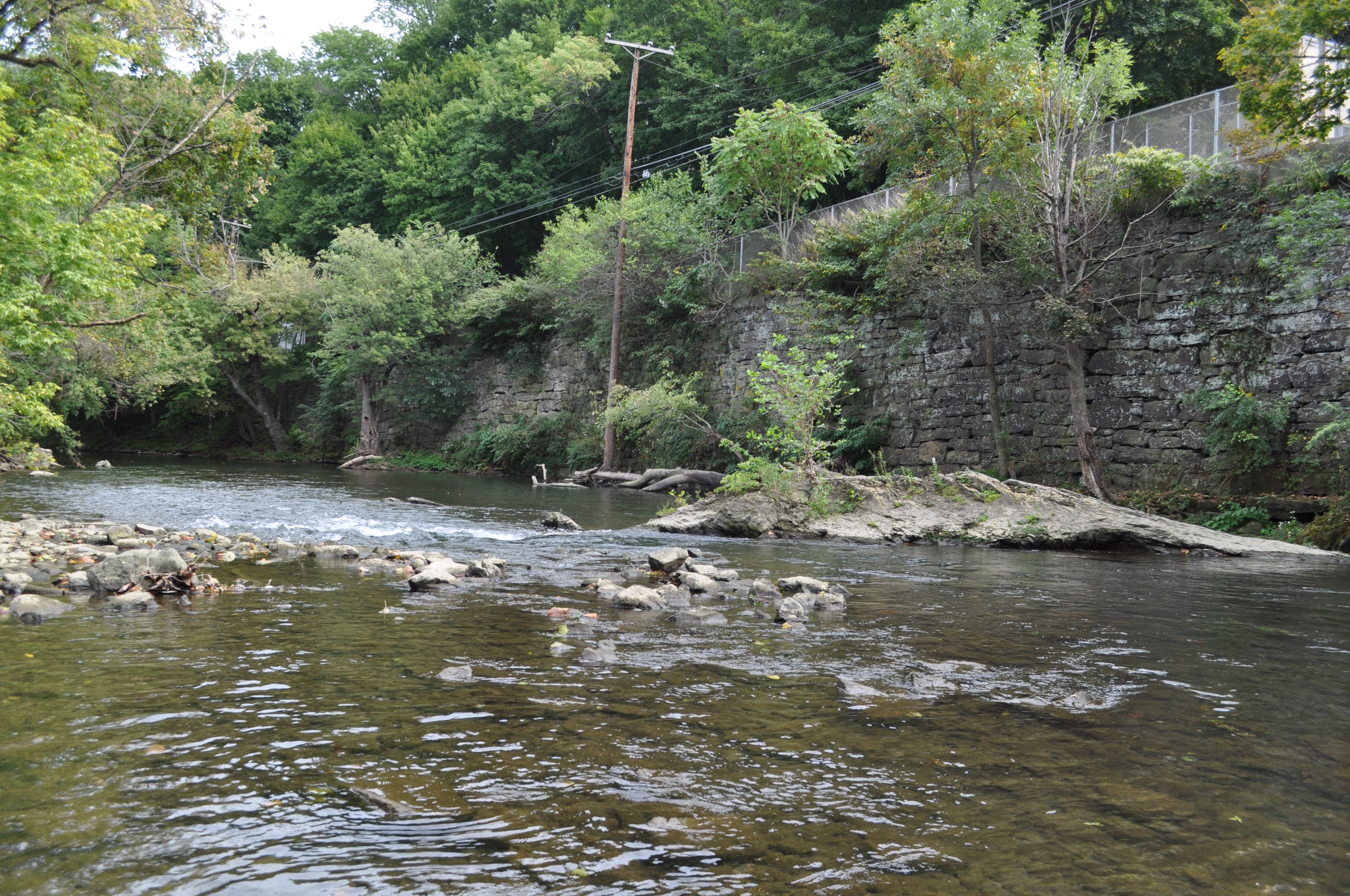
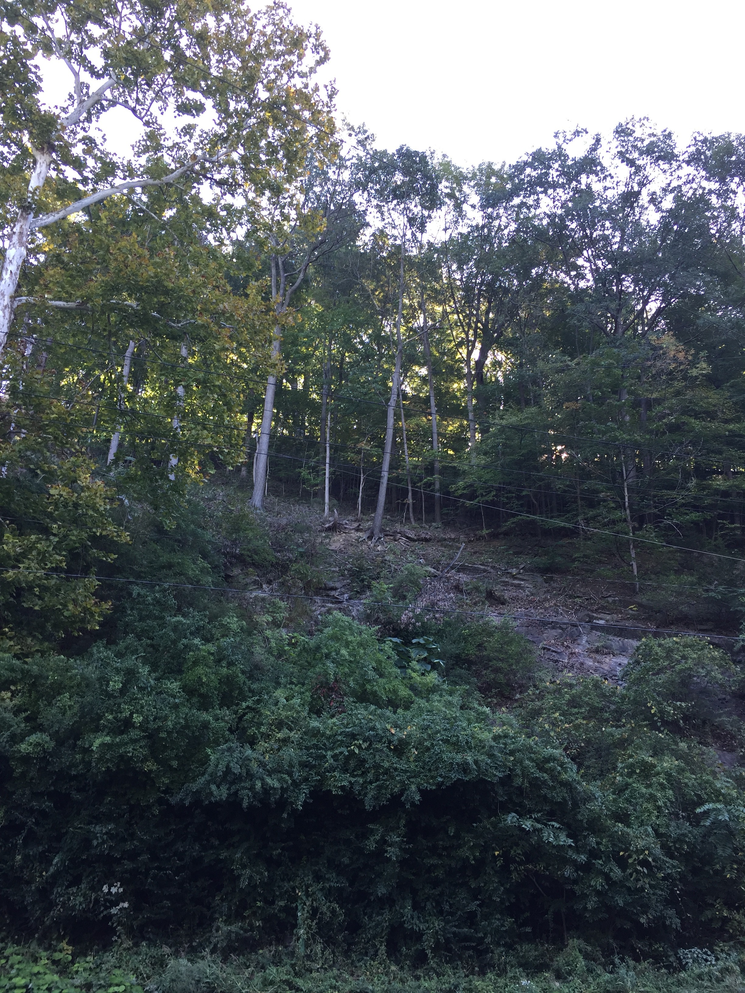
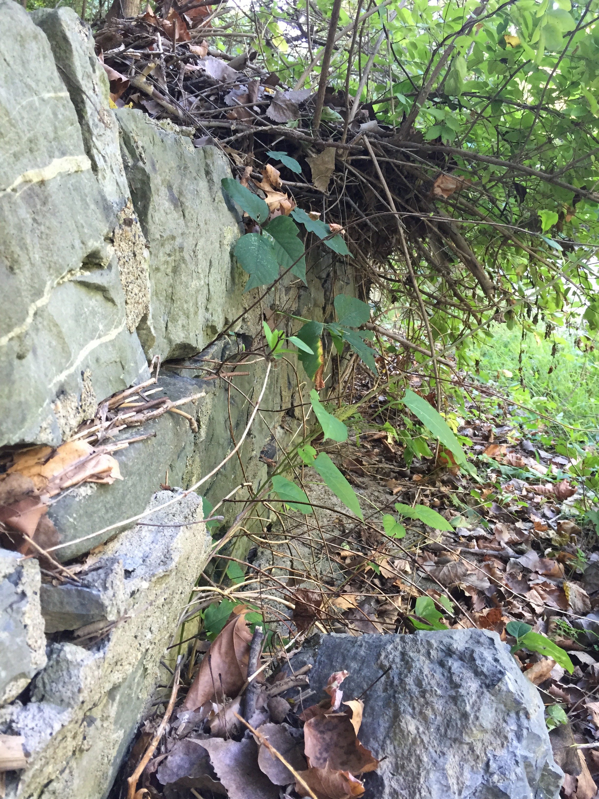
View of the wall from the bottom, above is the road.DSC_0922

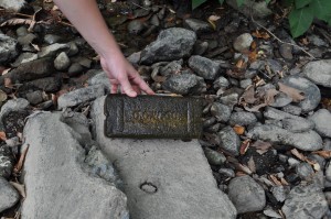
One of many funky bricks we stumbled upon. This one was Ginny’s favorite.    DSC_0927

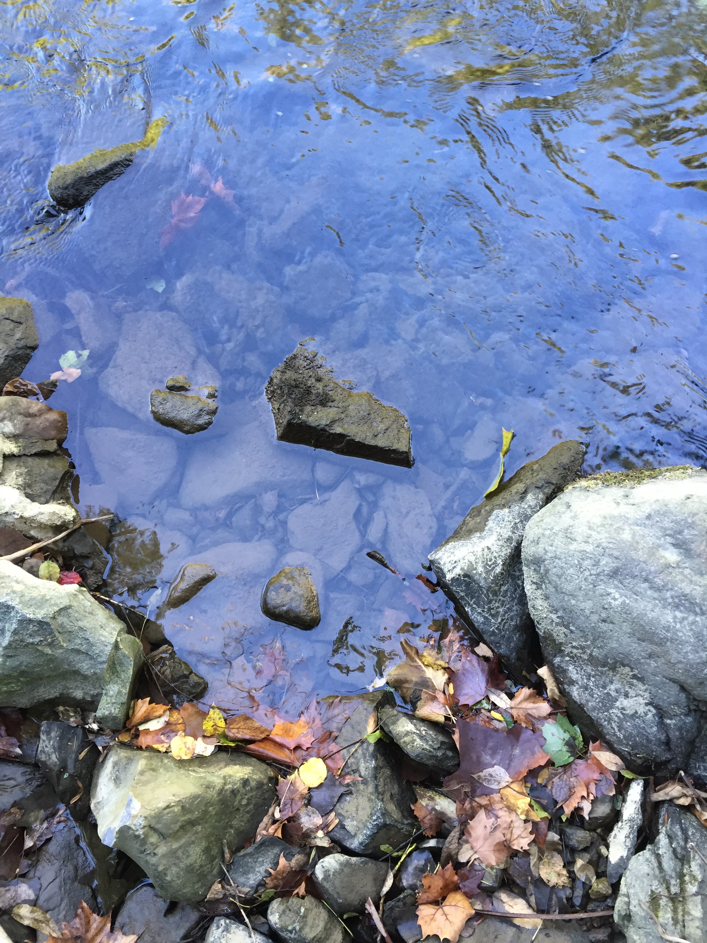
Spotting a ladder beneath the surface.

DSC_0936

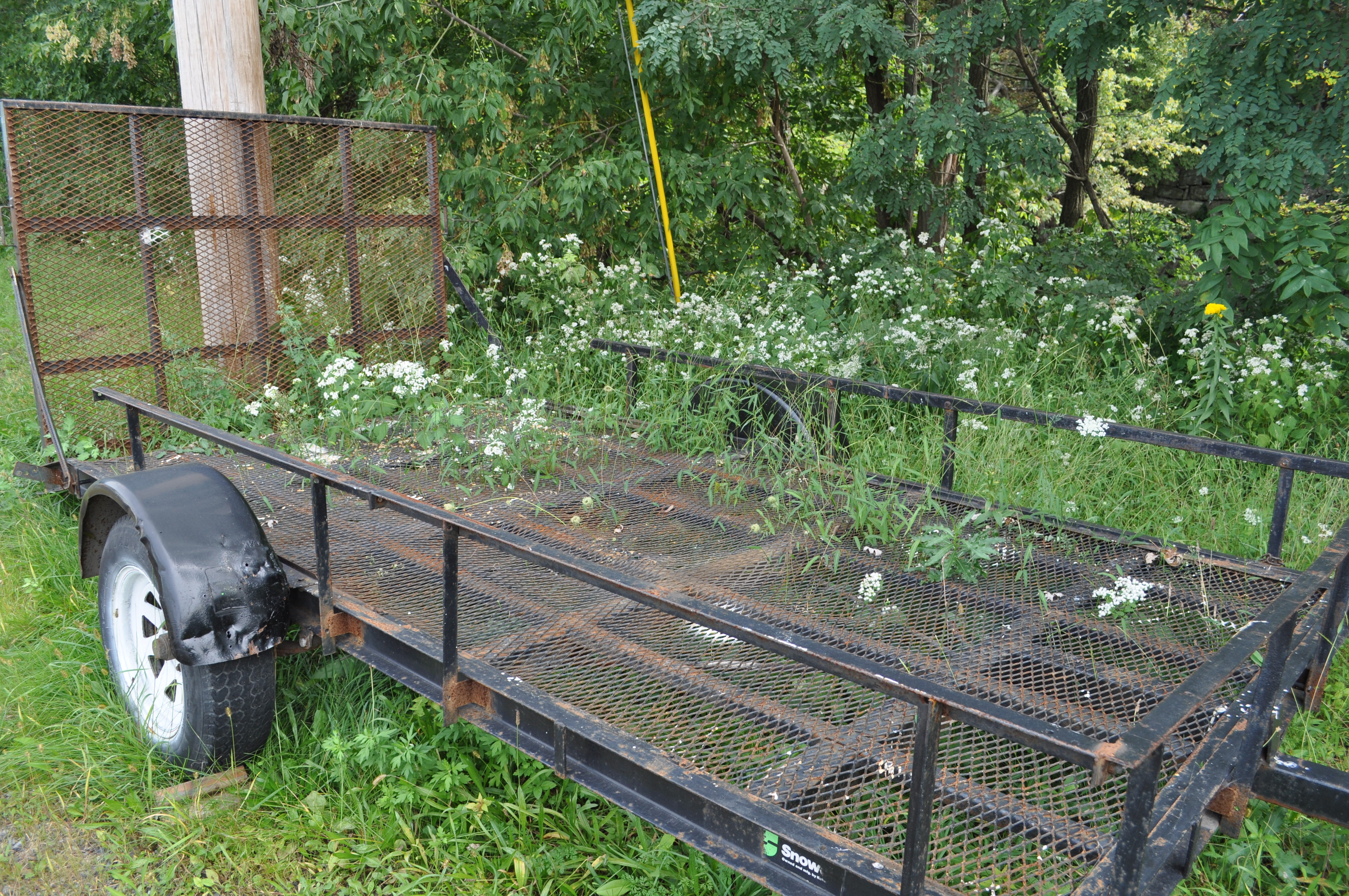
Some wildflowers reclaiming an old trailer near the Public Works buildings. DSC_0939 DSC_0941 DSC_0942 DSC_0943

DSC_0945

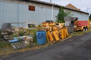
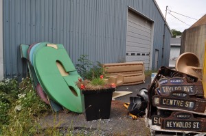
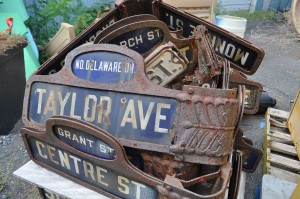
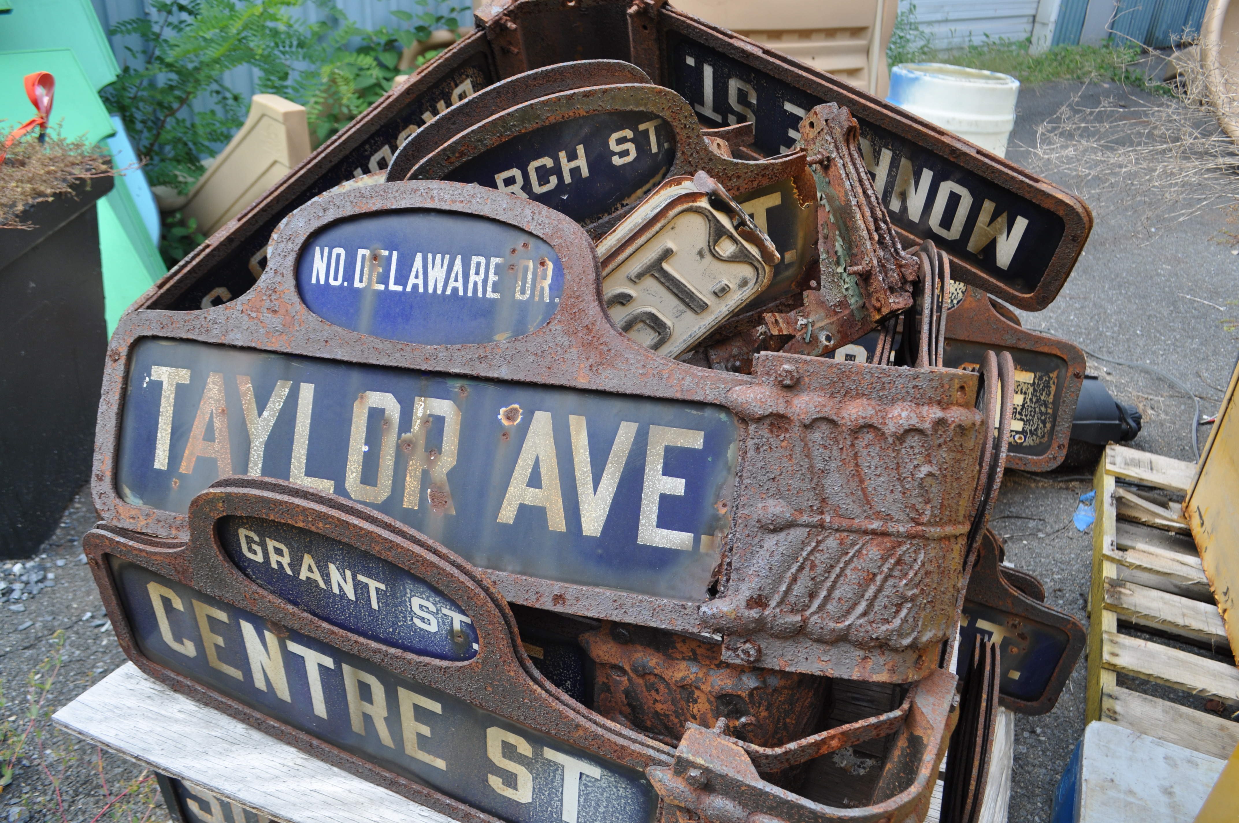
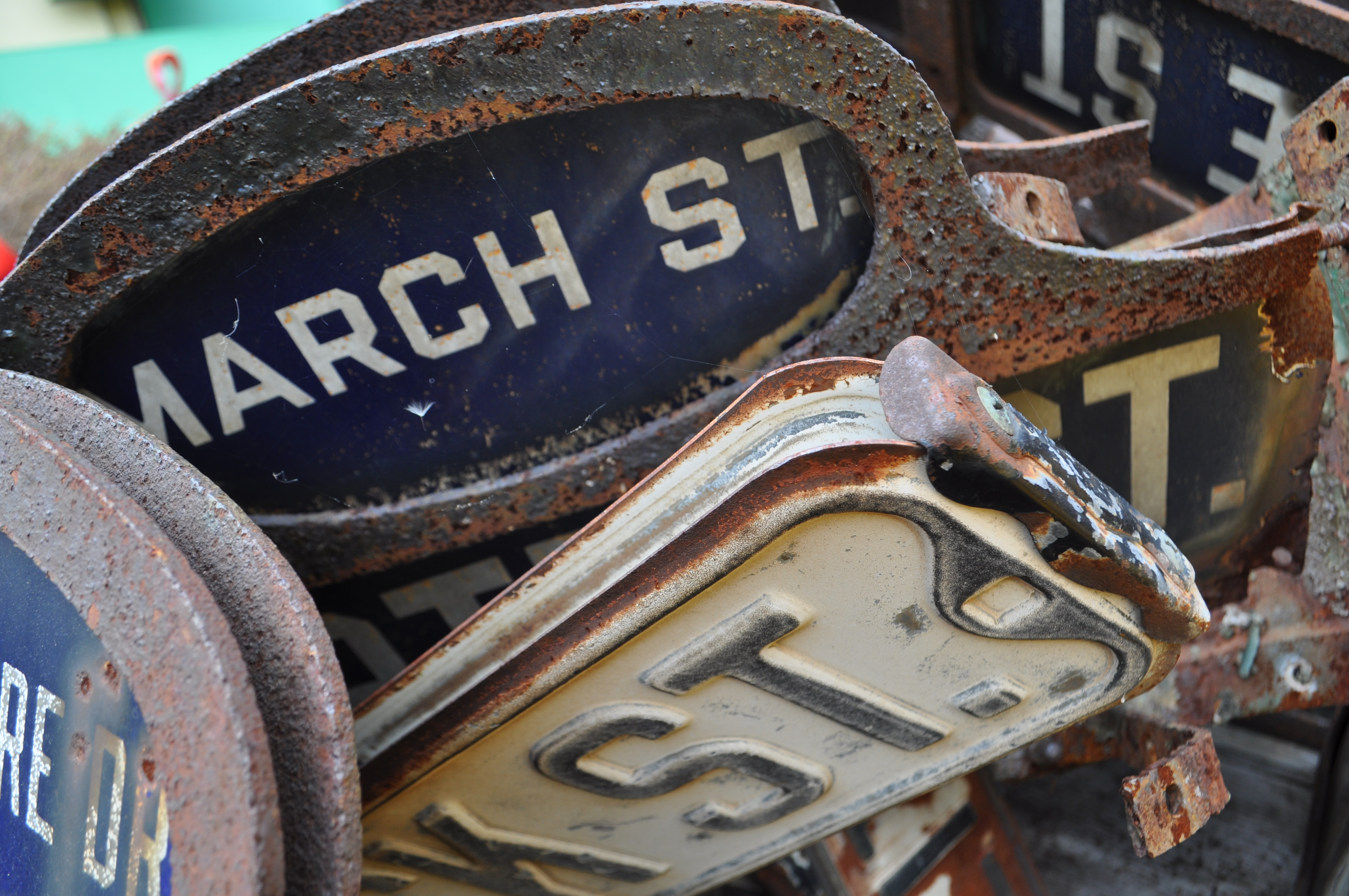
Some gems of Easton’s past. Traffic lights, road signs, etc.    DSC_0949

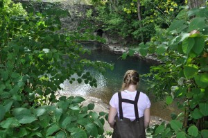
Trekking back down in our stylish ensembles. DSC_0951

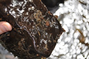
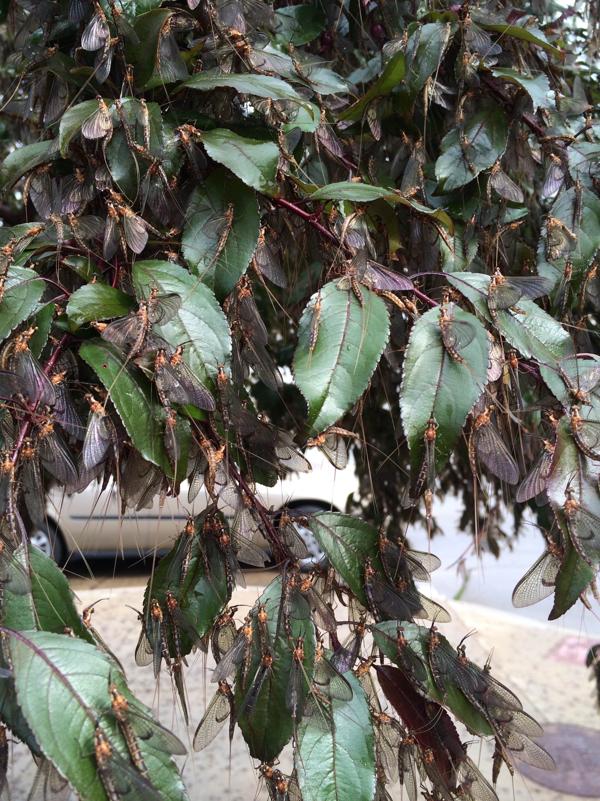
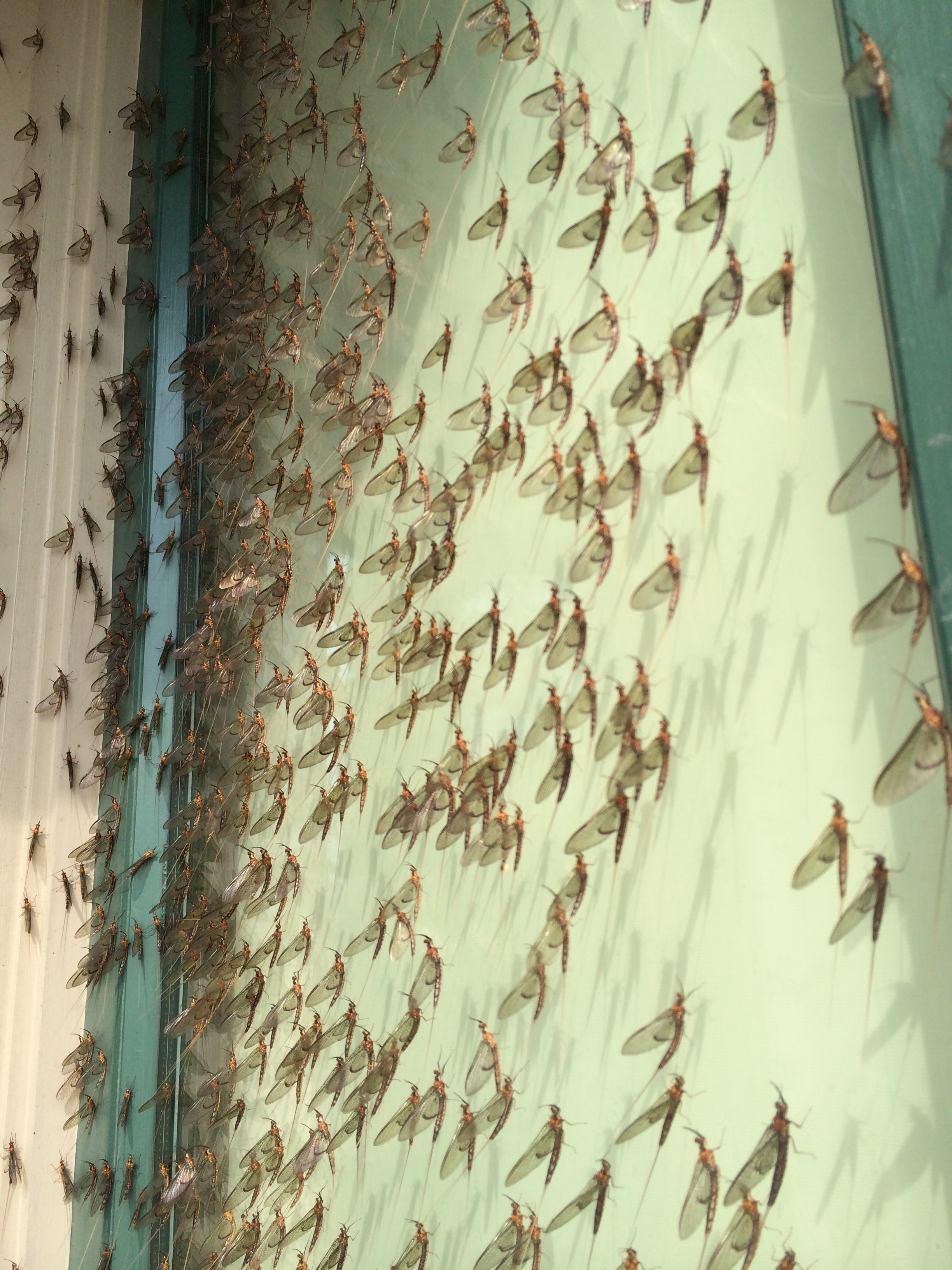
Funky little critters on another neat brick.

DSC_0952

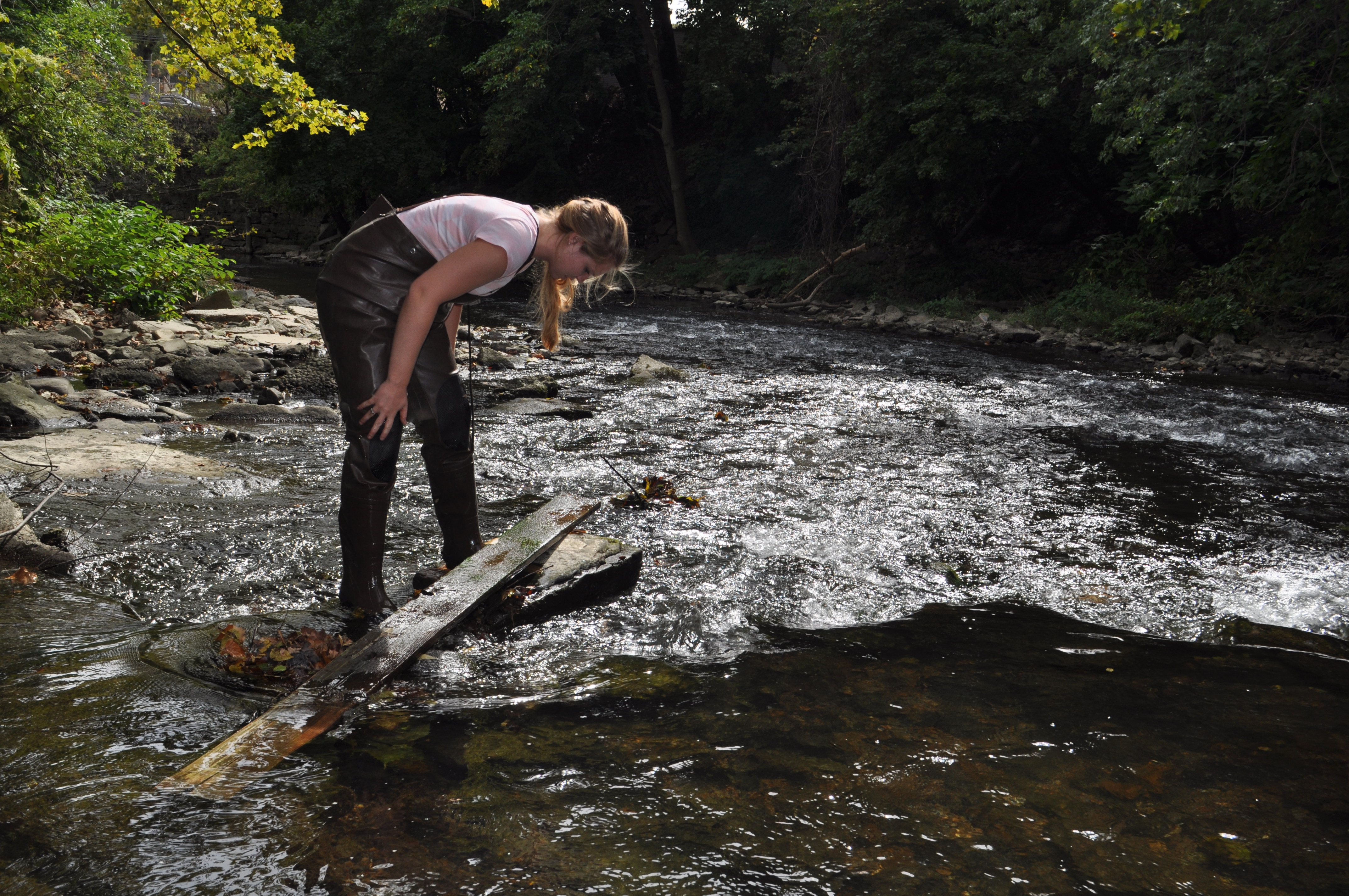
Ginny moving around some (possible?) building materials. More connection to infrastructure and nature.

DSC_0960

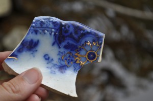
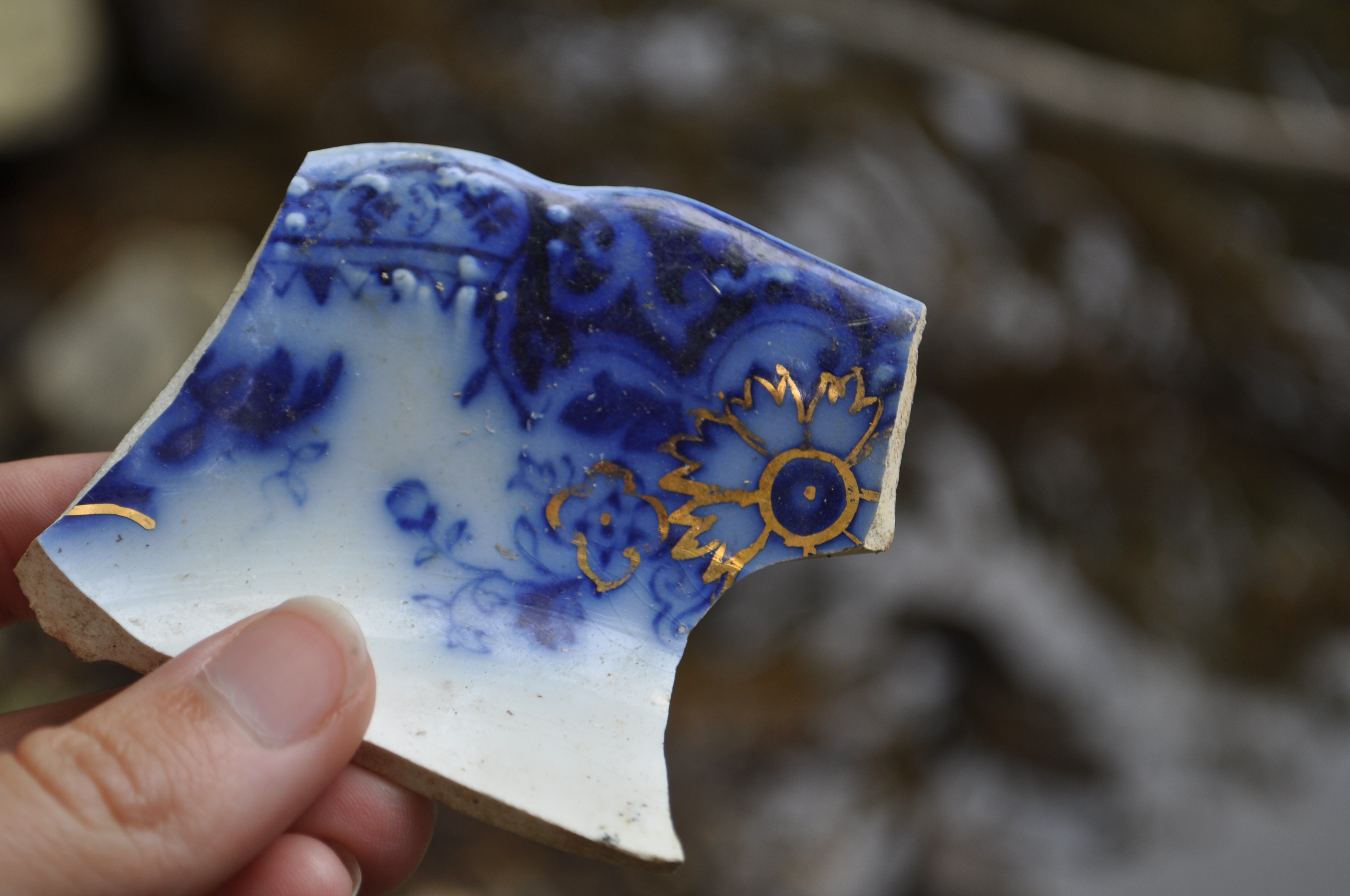
My favorite bit of pottery/ceramic from the river. Things like this are scattered everywhere. Some seem old, some seem newer, all seem perplexing in their abundance.DSC_0961

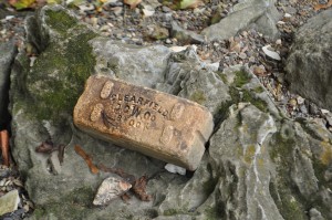
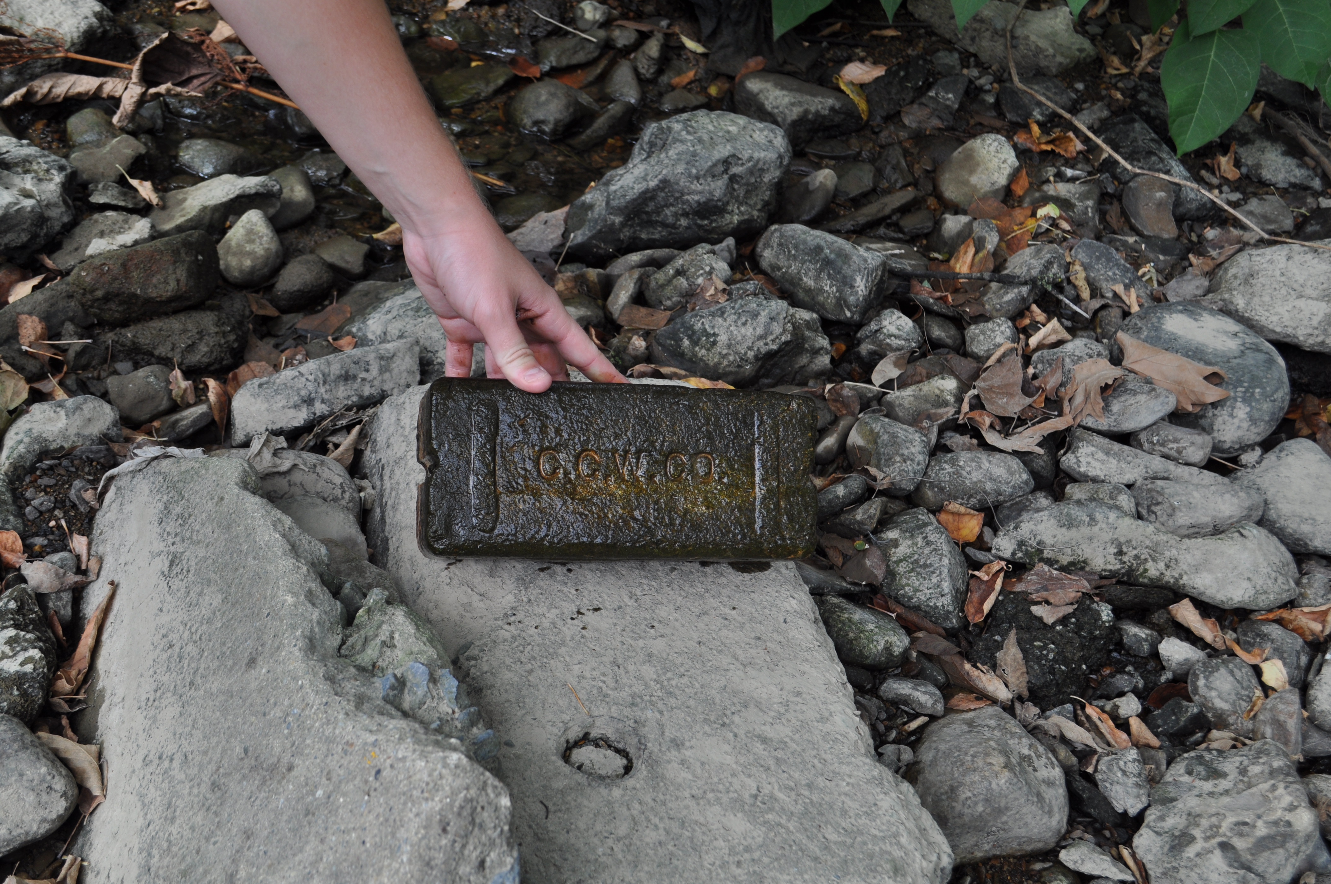
A brick we ultimately took with us for further exploration and hopeful identification. DSC_0962

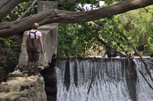
Ginny leading the charge to see the other side of the dam.DSC_0966

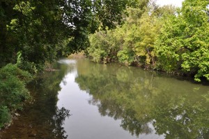
Ta-da! A pristine view from atop the dam.

Meta Post – Trespassing

We set aside two and a half hours for our trip. From the start I was in the mindset of exploring and wasn’t bothered by the fact that Aaron and I had to find our location. We were dropped off in the wrong location and realized after the car left that our location wasn’t in a walkable location. I knew the general direction of the factory but not exactly. It was on the west side of the river and we were on the east side. The only thing separating Aaron and I to the Pigment Plant was the river and another factory. Not wanting to trespass too much we decided to find another way across the river. We walked along the road and found a trail that seemed to lead down to the river, we went down the trail on a whim. Thankfully it lead right to the river but then we had to find a way across. At first we tried walking up and down the bank to find some cluster of rocks that would serve as a bridge across, however nature does not work like that and there was no clear way across. Determined to cross the river I somehow convinced Aaron to cross right on the top of the dam ignoring the many signs that told us not to.

I did not expect the water to be as deep as it was crossing the damn but we were already half way across. Upon reaching the other side with our shoes soaking wet we found two paths, one to a building and one up a hill towards a tower. The path down to the building just led towards people we knew would get mad at us for being on their property so we turned around and tried path number two. The second path lead to another building even bigger than the fist one but we wanted to get further in. We left the path and walked through the woods to a large rock formation to get a better vantage point. Climbing over rocks, fallen trees, and thick brush we made it to a fence that marked the end of our journey. We set aside two hours for our trip, I didn’t think it would take that long but looking at my watch when we got back, we took three hours.

Story of Place II

For today, I tried to gain a better understanding of the history behind the buildings that line Bushkill Drive around the bend of the Creek. I called on one location with local business contacts called International Dye and Chemical. There was no answer, but I decided to leave a vague voicemail. The second location researched was the Fitzgerald Speer Lumber Company that resides next to the current Lafayette parking lot. (The location is seen in historical map from 1919). I e-mailed their contact for more information regarding their history along the Bushkill.

Joe went down to the Creek again this morning while we were researching to try and emulate the pictures that were put up on Moodle of the old mills. He realized after a few minutes of taking pictures that he was standing on the remnants of the stone retaining wall that is featured in one of the snowy photographs. Also, he may have sighted the ruins of one of the mill buildings itself along the Creekside.

Emily contacted the Archives and went through the photos we were given access to on the Google Drive. After looking at Joe’s photos from the Creek she was able to find some matches between his photos and those on the Google Drive. Meeting with Archives tomorrow to research location.

Retaining Wall and Power Lines

Retaining Wall and Power Lines

Wagner Mill

Wagner Mill

NCHGS_A_05_a_recto

Back side of Wagner Mill

Back side of Wagner Mill

FOD_CemetaryBridgefromN_p65v2

Map of Location from 1919

Map of Location from 1919

IMG_2387

Remains on right side of Creek- Wagner Mill

Remains on right side of Creek- Wagner Mill

Power Lines-see snowy picture

Power Lines-see snowy picture

~artsy~ by Joe R.

~artsy~ by Joe R.

IMG_2375IMG_2374

Retaining Wall from Snowy Picture

Retaining Wall from Snowy Picture

Site #3 Second Visit – Shawn, Ginny, Maggie

A thought we constantly discussed while exploring this neglected place was the potential it contained. Right at the sharp bend following this dam, the velocity of the flow slows and a pool that looked ideal for recreation. We constantly thought about what this area would look like if cleaned up and the paths made slightly less treacherous. Perhaps if done it would become a popular spot for the community; a way for the people of Easton to get acquainted with their backyard Bushkill Creek. Looking around this area and letting our imaginations run, we could see this place rid of a plethora or litter and enjoyed by people who have missed out on bonding with the Bushkill.

In addition to our return visit to the site, we also looked into some history of the property. Joan Steiner’s The Bushkill Creek gave us some great information on the place. This source informed us that the Butz family had flour, grist, planing, and saw mills which they began to come into ownership of in 1800. They lived along the creek and also managed two large farms in Forks. After the death of Christian Butz in 1821 the property became part of the Butz’s estate and was passed on to his son. The property continued to pass through the hands of family members and in 1839 Captain Daniel Butz and his brother Michael Butz decided begin a woolen manufacturing business that would include a fulling mill, dye and drying houses, and power looms. After considerable losses they abandoned the venture and converted the mill to a gristmill. In 1861 the entire gristmill burned as well as the adjoining frame plaster mill. They rebuilt the grist mill and in early 1865 it was noted that business was booming. Joan Steiner states that, “The Butz family’s holdings were an illustration of a merchant milling operation expanding to include other businesses, in this case all located on the neck of land created where the Bushkill made its first turn to the north” (1996).

Besides discussing the history and potential future of this site, we also came upon a thread around which we would like to center our story. As mentioned in the earlier progress report, we came across tons of remnants of infrastructure in the creek. Broken chunks of concrete, innumerable bricks with logos carved into them, etc. were all apparent during our first visit. During the most recent visit, we discovered more of the aforementioned things, but we also came across a fallen piece of concrete and metal which may have once held up a park bench, even more consumer waste of all kinds, a large manhole cover, and even a traffic-infrastructure “graveyard.” We climbed up the bank right after the elbow of the creek to the backside of the public works facility and discovered piles of old traffic lights and street signs. They looked as if they hadn’t been touched for months, if not years.

After seeing the prevalence of nature taking over broken pieces of forgotten infrastructure, a theme clicked in all of our minds while we were marveling at the heaps of rusting street signs: this place is a constant battle between neglected public infrastructure and the natural world. Right near the dam, moss, lichens, water, and time have eroded bricks and dismantled structures. Behind the public works building, useful structures of past times have been left to the elements. Overwhelming evidence of the presence of homeless people who have also been neglected by the infrastructure of society litters the embankment right where we climbed down. Food wrappers, aerosol cans, beer bottles, even a few bent spoons and needles represent the population who, like the bricks in the creek, have lost their role in modern society. It’s also noteworthy to mention that the only “gate” that we have to go around to slide down to this spot is yet another piece of road-infrastructure: a guard rail. Publicly provided infrastructure also prevents the public from seeing this part of the creek from the road and sidewalk along Pearl Street. The huge fence with vines growing on it makes this battleground invisible to passersby.

We’re sure that more visits to Butz Mill will reveal even more dichotomies between public infrastructure and nature and that is what we wish to highlight in this story.