Digital Scholarship Services has added two new sessions to its popular lunchtime GIS workshop series. Data Visualization & GIS Librarian John Clark will be showcasing user friendly, web-based GIS tools appropriate for any skill level.
Register for one or both of these great new sessions today.
Exploring Google Maps
Friday, October 24th – 12:10 to 1:00pm Skillman 003
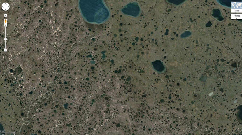
There is a lot more to Google Maps than meets the eye. Get a glimpse of what goes on “under the hood” of this online mapping resource and how you can use it to make your own customized maps. Participants will learn how to contribute their own content to a Google Map as well as many other tips and tricks for creating useful and well designed maps with nothing more than a web browser. Windows laptops will be provided for all participants, but feel free to bring your own.
Lunch provided. Please RSVP by Friday October 17th to John Clark, Data Visualization & GIS Librarian (clarkjh@lafayette.edu)
Link to calendar: https://calendar.lafayette.edu/node/12256
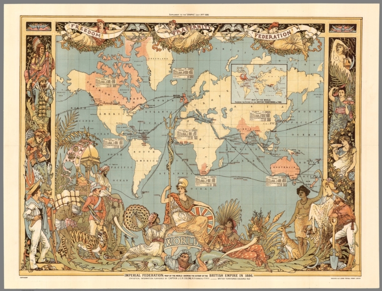
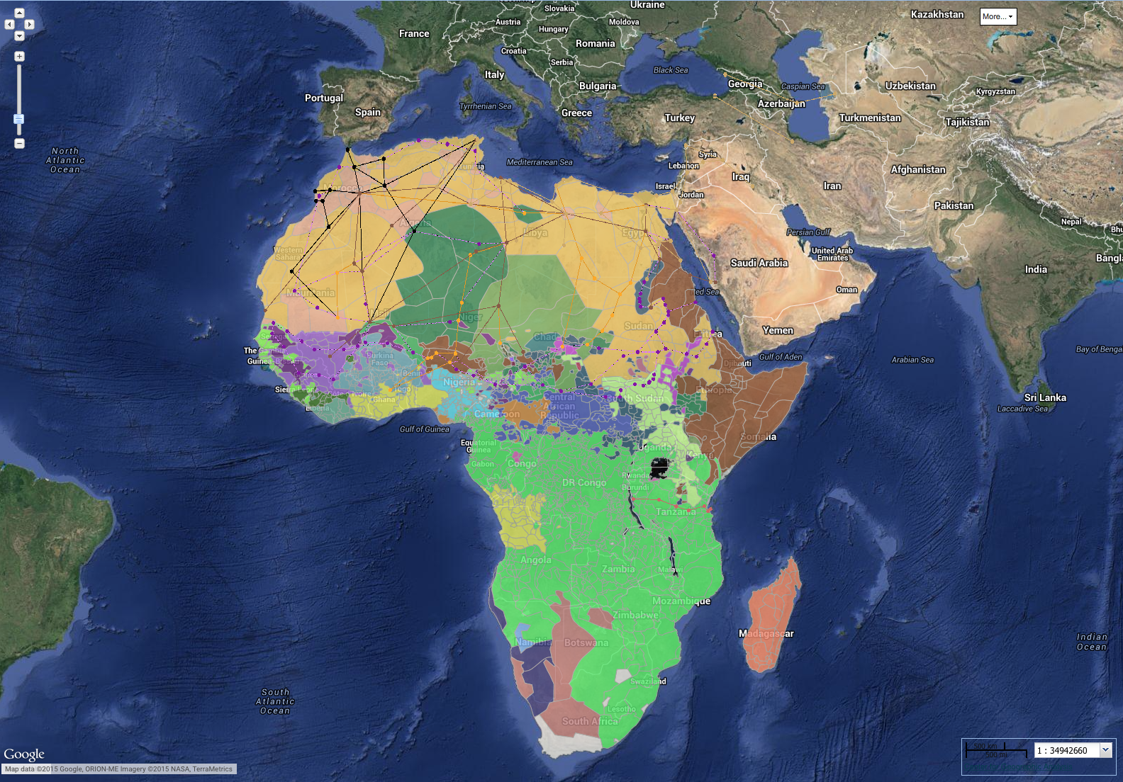
Exploring GIS on the web
Friday, October 31st – 12:10 to 1:00pm Skillman 003
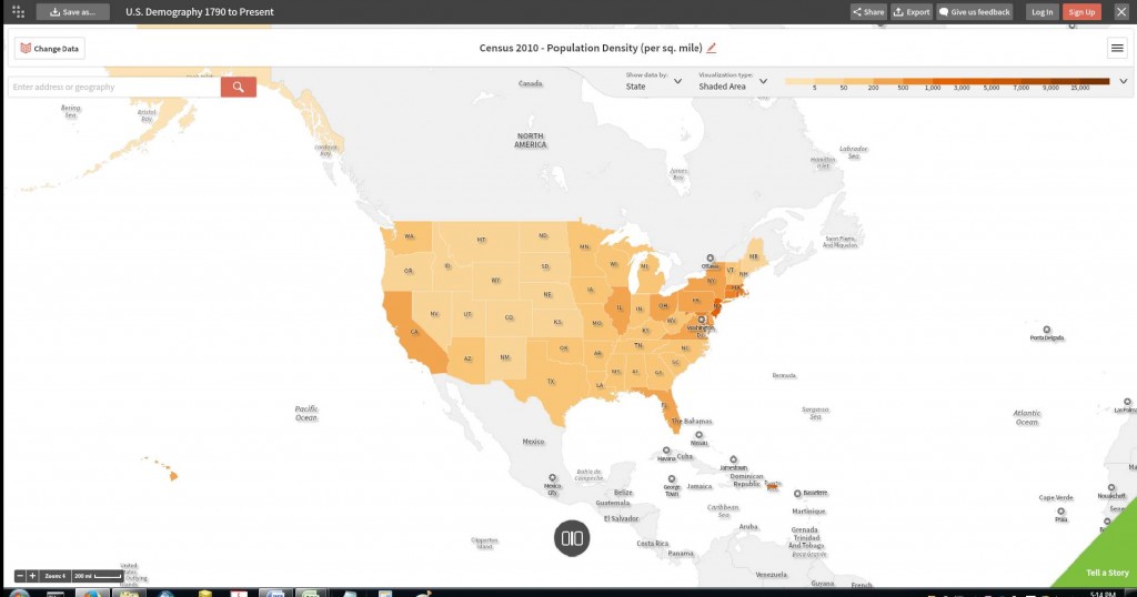
The web is rich in online GIS projects which allow us to explore research results in maps while controlling certain parameters in our browsers. For instance many projects are designed to tell a story with maps while allowing users to manipulate the time frame or the types of data mapped. In addition there are a number of GIS sites, called data portals, which allow users to search a map interface for geospatial data which they can use for creating their own online maps without resorting to cumbersome GIS software. Participants will be introduced to one such portal, Social Explorer®, a socio-economic database available to the Lafayette community through a subscription at Skillman Library. Following a map making exercise using this site we will explore other scholarly web GIS projects, focused largely on historical research. No GIS experience or knowledge is necessary to enjoy this casual exploration of online mapping. Windows laptops will be provided for all participants, but feel free to bring your own.
Lunch provided. Please RSVP by Friday October 24th to John Clark, Data Visualization & GIS Librarian – clarkjh@lafayette.edu
Link to calendar: https://calendar.lafayette.edu/node/12257

 In this workshop participants will be given an introduction to basic geographic and information science concepts followed by a demonstration of ArcGIS, a popular desktop GIS application available to the Lafayette community at Skillman Library.