Page 12 of 15

River Art Removal

As I walked by Bushkill Creek, I noticed that the graffiti that had once existed beside it was covered up.  I’ve always been a fan of graffiti, and wish there were more public places where it would be legal and accepted.  This wall would be significantly more attractive with the help of artists from Easton.  The creek would create a pleasant atmosphere for their work to be displayed.  I truly believe that leaving this wall blank and covering up any graffiti on it is a missed opportunity.  Perhaps the deer I spotted by the creek was also saddened by this development.

Tension Gash by the River

I found this rock by the Delaware river on a hike for Geology 100. There is a line in the rock that almost looks like it’s splitting apart. This line is called a tension gash and is filled with crystal. This small rock gives us hints into the history of the Delaware river millions of years ago. Once there was no river here, instead it was a mountain or large hill. Seismic activity occurred, causing cracks to form in the rock. The water got into the cracks and over a very long time of freezing, thus expanding, and thawing the crack got wider and wider until the river busted this mountain open. The line on this rock shows the same type of seismic activity that occurred all of those years ago. I’ll talk more about it in my GORP next Tuesday.

Karl Stirner Arts Trail

Yesterday I went to the Karl Stirner Arts Trail to run. At first, I just ran back and forth on the trail. We did sprints and other drills. Our last run was more of a cool-down run so I ran at a slow pace. As I ran back, I noticed so many things I didn’t before. Before I was focused on practice and not mindful of the environment around me. As I lightly jogged back I paid more attention to the scenery. I was amazed that I didn’t even notice it before. I saw dogs in the park, I saw birds flying above, and spent more time looking at the artwork and boards with information on them, rather than just glancing. I feel like there’s so many things like this around us, but it’s just a matter of paying attention.

Easton Dam

While walking through downtown Easton last week, I took this picture of the Easton Dam. It is where the Lehigh River meets the Delaware. In 2017, some people wanted to remove the dam to make the area of downtown Easton an area for white water rafting, fishing, and other recreational activities. Being from New Jersey, it is interesting to me that a lot of the water we get there comes from the Delaware.

Conservation Efforts of the Delaware River

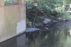
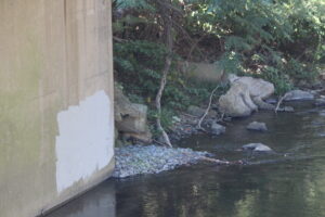
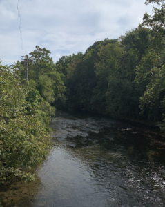
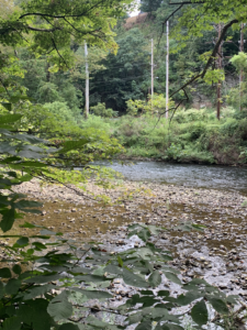
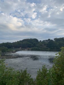
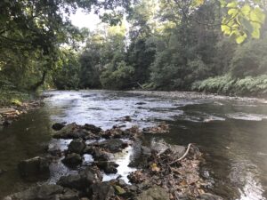
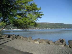
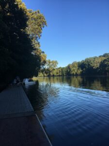
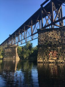
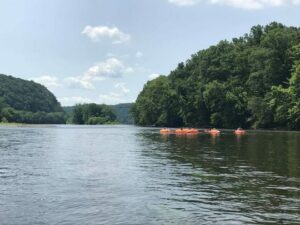
I was doing research online the past couple days about the Delaware River, and I came across a couple sources of good news. The first is that conservancy projects throughout the Delaware River Watershed were awarded a grand total of $16 million dollars to help restore, clean up and revitalise parts of the Delaware River. The money was awarded to several groups throughout New Jersey, Pennsylvania, Delaware and New York. Also, I interestingly came across something called the “Delaware River Watershed Conservation Act,” – which I look forward to exploring further. Similarly, there is actually some more local efforts to help clean up the river. On September 21st, there is the 2nd community cleanup in Hunterdon County, New Jersey, which is about 40 minutes away (so a little far, but not too far), where volunteer will help to clean up the river both on foot, as well as in canoes and kayaks!

More Information:

Local clean up efforts: https://www.mycentraljersey.com/story/news/local/how-we-live/2019/09/19/gardener-state-help-clean-up-delaware-river-sept-21/2342190001/

Wider clean up efforts: https://www.inquirer.com/science/delaware-river-watershed-philadelphia-fish-wildlife-service-20190918.html

Hudson River

The image above is of the Hudson River in Piermont, NY.  I would spend most of my Saturday mornings here either going for a run or walking my dogs. It’s only about 10 minutes from my home making it easy to get there. The Hudson spans 315 miles through Eastern New York.  I have spent a large amount of time with my family and friends by the river.

Lehigh River

These are 3 pictures taken from the crew team’s boat house on the Lehigh River. The picture in the center shows the railroad tracks which pass over the river (the train horn can be heard from campus). The picture on the bottom shows the view looking downstream; if you were to follow that, it would lead you to the dam in downtown Easton, which we paddled past at the beginning of our kayak trip. In this part of the river, the current is not very strong and the river is mostly flat, so we are able to row both upstream and downstream with little difficulty. One thing that I also found interesting was the spraypaint on the rock support towers for the train tracks. Each year the seniors on the crew team paint the year and their names (or initials) on the stone.

Weber River Utah

The Weber River is a 125 mile long river that runs from northern Utah into the Great Salt Lake. The Weber River is famous for its rapids and float tours. These tours range from regular tubes, to white water rafts, to kayaks. I had the pleasure of kayaking 8 miles down a stretch of rapids and it was a thrilling experience. While I was kayaking, my group and I passed by hundreds of people relaxing in tubes floating down the less rough parts of the river. The river is also a prime trout fishing spot. As I kayaked down the river, flies were laying eggs on the river. I even saw a few trout come up to the surface and eat some of the flies. Much like our Delaware River trip, being on the river and experiencing the feeling of moving with the current is a great way to learn more about the river, its role in surrounding society, and its history.

Sumida River in Tokyo

The river above is the Sumida River that flows 17 miles through Tokyo, Japan. It discharges into the Tokyo Bay and the Pacific Ocean. I took these photos during a vacation to Japan this summer. The cruise boat shown in picture 1 brings me from Asakusa to the Bay.

I thought that the boat would encounter torrent when close to Tokyo Bay. Out of my expectation, the water is placid and smooth throughout the entire journey. Comparing to highly polluted Ganges River, I was amazed by the peaceful interactions between densely populated central Tokyo and Sumida river. However, the river was actually deteriorated and contaminated until recently. In the 1950s and 1960s, due to rapid urban development, the river no longer became a habitat for aquatic and was called a “River of Death”.  Its biochemical oxygen demand reached 60 milligrams per liter in the late 1960s, meaning the pollutant were so many that aerobic organisms do not have enough oxygen to oxidize and break down them.

To make the river as clean as shown in the pictures, the government banned factories pouring effluent into the water, collected human waste, and built some new sewer systems.

« Older posts Newer posts »

© 2025 What is a River?

Theme by Anders NorenUp ↑