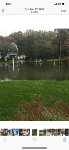
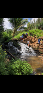
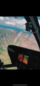
Living in a flood plain I experienced some overflow from the Goodwives Rives. My whole neighborhood was once a farm built upon a flood plain then about 90 years ago, what was my backyard today was dredged out to raise the land in my neighborhood. Flooding on both sides of my house can be found in the first 2 pics. The Goodwives River use to be the center of my town about 100 years ago, they would import lumber into the down of Darien and people didn’t want to have to transport the lumber that far from where they picked it up, now the center of Darien has moved more northwest about a mile as the crow flies. The pictures that follow are from when I went to Hawaii. 


Month: August 2019
Welcome river rats! This is where we will be posting our photo-essay materials.
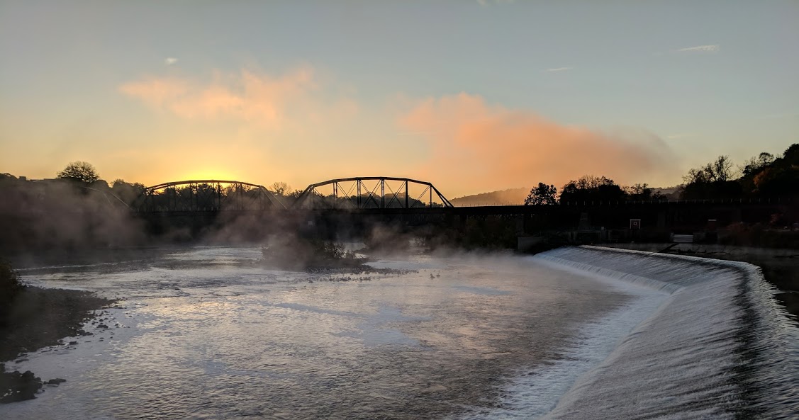
Here is an early morning shot of the confluence of the Lehigh River (coming from the right) with the Delaware River less than a mile from campus. My commute from home takes me along the Delaware River and past this scene every day, and the mist coming off the water in front of the rising sun made me stop and marvel at the natural and unnatural beauty presented on this particular morning. Notice the dam on the right – this was built long ago to provide water to the head of the Delaware Canal, which was once a major shipping route to Philadelphia, bringing coal from eastern PA. Also seen is a railroad bridge – it was the much faster railroads that put the canal companies out of business in the 19th century. But before either one of these it was the rivers themselves that were the arteries of transportation and trade as well as a great source of food for native Americans and early colonialists. Why is Easton located here at “The Forks of the Delaware”? — its all about the rivers!