The City of Easton
The City of Easton is comprised of four different neighborhoods: College Hill, West Ward, South Side, and Downtown. The Delaware River borders the eastern side of Downtown. To the south and north exists an inclines to the South Side and College Hill, respectively. Similarly uphill of western Downtown is the West Ward. Downtown sits at the lowest point of the four neighborhoods and houses the majority of restaurants, stores, and attractions of the city. Read more about the demographics of each neighborhood on our Neighborhood Background page. Currently, the City of Easton is experiencing population growth and is looking to expand. Having set sustainable development and emission reduction goals through its Climate Action Plan, Easton has begun work to address present-day and existential issues within the community. In the coming years, it is paramount for Easton to make sustainable changes that center on the experience of residents. Amenities should be easily accessible, nearby, and offer a wide variety of products and services for a diverse population.
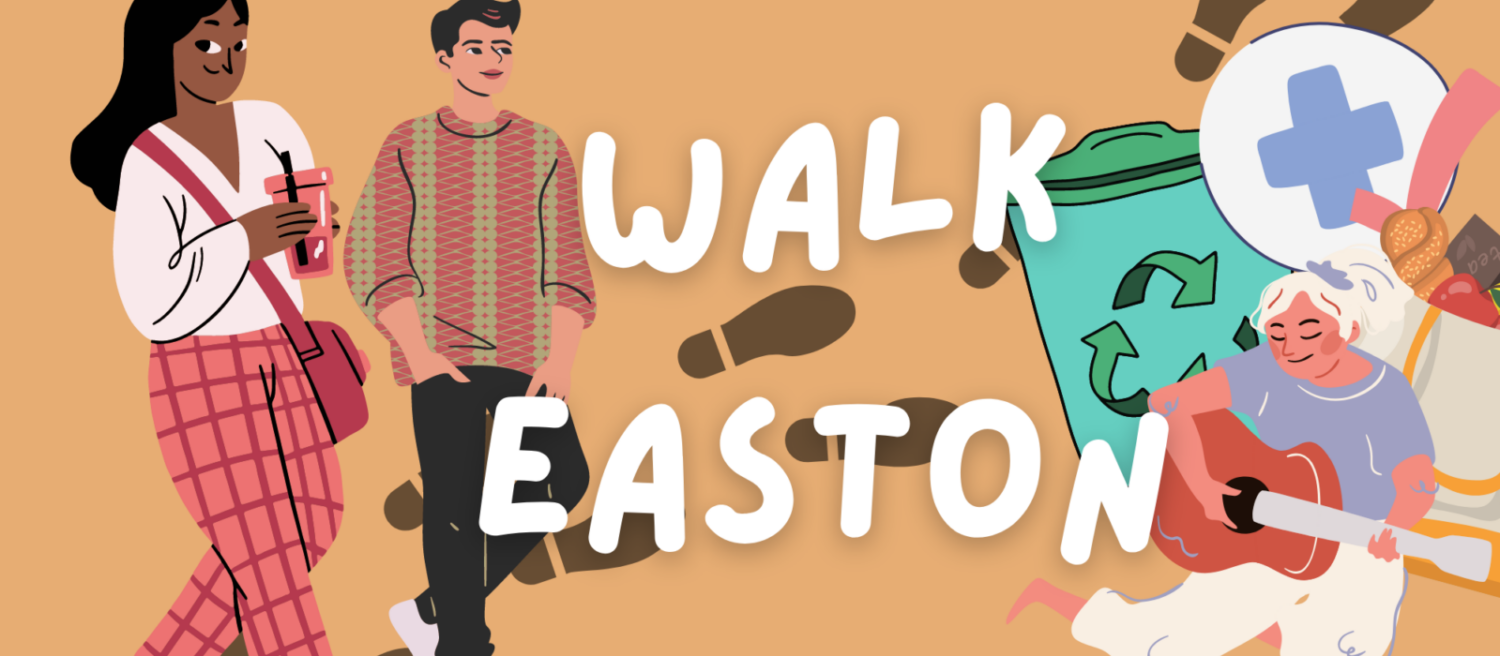
Benefits of a Walkable City
In a highly car-dependent culture, the importance and benefits of walkability have often been neglected. Suburban and urban planning efforts have often been centered around cars and traffic control as a priority for mobility. This dependency on cars results in various toxic impacts such as long commutes, traffic, environmental concerns, etc.
Decreasing the number of cars used in cities has widespread health benefits. America’s reliance on driving is so deeply embedded in the culture that many see driving and its consequences as a natural and inevitable part of modern life. The existence and functionality of walkable cities, however, negates the necessity of driving culture.
Walkable cities have environmental, social, and mental benefits, and a plethora of studies have investigated these advantages. A study done in China on neighborhood walkability and mental well-being revealed a positive correlation between a walkable neighborhood and mental health, mitigation of environmental stressors, as well as a sense of community (Li Xin et al., 2021).
As walkable neighborhoods and the concept of the 15-min city become more desirable, it is crucial to ensure that minority and low-income groups are included in these spaces. Walkability cannot only be discussed in the confinement of the built environment, considering that advantaged populations often see higher benefits at the expense of disadvantaged groups (Adkins Arlie et al., 2017). All neighborhoods, regardless of socioeconomic status and demographics, should equally benefit from walkability. An analysis of socially vulnerable populations in U.S. metropolitan areas suggests that even when those populations are living in more walkable neighborhoods, they still are not afforded the same degree of accessibility to amenities (Bradley Bereitschft, 2023). The X-Minute City is committed to addressing these issues of accessibility and inclusivity in order to ensure a holistic approach is taken when creating a walkable neighborhood.
Walkability in Easton
Walkability in Easton is not a foreign concept. It has been brought up by Easton’s environmental leaders, the Nurture Nature Center, and Easton’s Environmental Advisory Council (EAC). In 2009, EAC’s transportation affinity circle published the report ‘Enhancing Easton’s Status as a Walkable Community: An Evaluation of the Third Street Corridor’. The overarching goal of this report was to provide recommendations that could alter the balance of power between motor vehicles and pedestrians within the area in question. Issues considered included: pedestrian safety, pedestrian accessibility, connectivity for pedestrian traffic, and ‘walkability’.
The report offered recommendations to the City of Easton to enhance walkability along the corridor, many of which involved changing the infrastructure and/or atmosphere so that people would feel more inclined to walk. Regarding safety, the EAC recommends potentially adding crosswalks and improving them by adding more white lines to increase visibility, altering curb ramps to a design where it is more clear to drivers which direction a pedestrian intends to walk, adding traffic calming measures, re-examining the necessity of the right-turn on red feature near Route 22, and adding a physical barrier between bikes and cars on the Lehigh River Trail. Relating to aesthetics, the EAC recommends adding pedestrian amenities such as benches, public art, information signage, and public restrooms.